- Mastung District
-
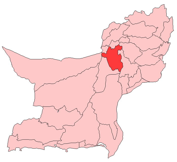
Mastung District — District — Map of Balochistan with Mastung District highlighted
Country  Pakistan
Province Balochistan Capital Mastung Established 1991 Area – Total 5,896 km2 (2,276.5 sq mi) Population – Estimate (2005) 180,000 Time zone PST (UTC+5) District Council Mastung District (Urdu: ضلع مستونگ ) is a district located in the north west of Balochistan province, Pakistan. Prior to 1991, Mastung was part of Kalat District. For administrative purposes Mastung was separated from Kalat and made a new district in 1991.
Contents
Administration
The district consists of three tehsils:[1]
- Dasht
- Kardigap
- Mastung
And 12 union councils: Khadkocha, Ghulam Parenz, Karez Noth, Mastung-1, Mastung-2, Sorgaz, Dasht, Isplinji, Kanak, Shaikh Wasil, Kardigap and Soro, one more union council formed with the name of Alizai in 2006.
Demography
The population of Mastung district is estimated to be over 180,349 in 2005. Over 99% of the people of the area are Muslim and Baloch by casts. The major tribes of Mastung district are: [Barozai] [Syeds]], Alizai, Dehwar, Qalandrani, Kurd, Sarparah, Lashari, Rodeni, Muhammad Shahi, Bangulzai, Satakzai, Shahwani, Sumalani, Raisani, Sarangzei, Lehri, Khurasani, [[Daday zai Rind] and some Hindus. The local languages spoken are Persian and Brahvi. Like a patron saint of this town, Hazrat Khwaja Ibrahim Yukpasi Chishti Maududi, popularly known as Pir Yakpasi, is a living legend. Respected by tribal people for his dedication towards the spread light of Islam 700 years ago when this area was inhabited by non-Muslim Zoroastrian and Hindu tribes. Keeping in line with traditions of his great ancestor Khawaja Maudud of Chisht Sharif and other glorious stars of Chishti order of sufi Muslim reformers he spread the light of peace and the tomb of the great Saint Hazrat Peer Sheikh Taqi Alizai is in Mastung,and Peer Sheikh Taqi Alizai is belonged to the Alizai tribe.
History
Little is known of the history of Mastung up to 977 AD, i.e. before the conquest of Balochistan by Mahmood Ghaznavi. History reveals that Muslim rulers ruled Balochistan from about the 7th century onward. It is likely that the Sewas, who belonged to the Rai Dynasty of Sindh, were ruling the Kalat State before the 7th century. It is most likely that the Sewas may have obtained the possession of Kalat after the fall of Sultan Feroz Dhoh of Delhi. The Sewas were Hindus who were deprived of power in Sindh about the middle of the 15th century.[2]
See also
- Mastung Valley
- Mastung, Pakistan (town)
- Khwaja Ibrahim Yukpasi
- Peer Sheikh Taqi Alizai
- Alizai
References
Coordinates: 29°45′N 67°00′E / 29.75°N 67°E
Districts of Balochistan (Pakistan) Provincial capital 
Districts Categories:
Wikimedia Foundation. 2010.