- Sibi District
Infobox Pakistan district
district = Sibi District
area = 4,152
population = 250,000
pop_year = 2005 Estimate
density = 18.3
established = 1903
nazim =Mir Ali Murdan Khan Domki
naib_nazim =Syed Muhammad Anwar Shah
seats = Unknown
languages =Balochi ,Pashto ,Sindhi
website = www.sibidistrictgovt.com
tehsils=3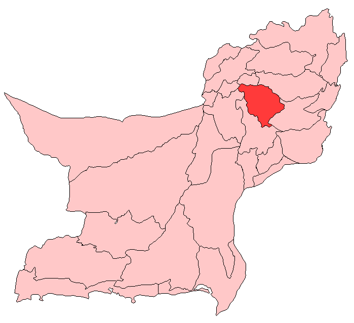
caption =
region = BalochistanSibi (
Urdu : سبی ) is a district in the Baluchistan province of Pakistan. [http://www.nrb.gov.pk/lg_election/union.asp?district=91&dn=Sibi Tehsils & Unions in the District of Sibi - Government of Pakistan] ] The main mountains range areZen ,Bambore andDungan . The climatic and topography of Sibi District is quite varied compared to other districts of Baluchistan. It is also known as the "Hot spot" ofPakistan where the temperatures in the summer exceed far above normal over 50°C. The district has two sub-divisions, Sibi and Harnai, which are further organized intotehsil s and sub-tehsils:Sibi ,Harnai ,Kutmandi and Sangan.History
Until the end of the 15th century the district had been a dependency of
Multan and had been part ofGhaznavid Empire ruled by petty chief namedNasiruddin Kubacha Around 1500 it was taken byShah Beg of theArghun Dynasty and so came under the control ofKandahar . However during the period of Mughal rule the territory was once again ruled from Multan. In 1714 the territory was conquered by theKalhoras ofSindh , but they were then displaced by theDurrani s. During the rule of the Durranis the local governors were generally selected from the Barozai clan of the Panni Afghans. [ [http://dsal.uchicago.edu/reference/gazetteer/pager.html?objectid=DS405.1.I34_V22_344.gifSibi District - Imperial Gazetteer of India, v. 22, p. 338.] ] In the 19th century it fell underMarri s andBugti s hand. To finish rebellion in the area, the British signed theTreaty of Gandamak in 1879.The district of Sibi was established in 1903 during British Rule its area was larger than the current district and lay between 27°55' and 30°38'N and 67°17' and 69°50'E lying south of
Loralai District , north of theUpper Sind Frontier District , west ofDera Ghazi Khan District and east ofKachhi ,Bolan Pass andQuetta- Pishin . The total area of the district was 11,281 square miles, but this included Marri Bugti county (7,129 square miles) which not directly administered by the British, leaving 4,152 square miles that were directly administered by the British [ [http://dsal.uchicago.edu/reference/gazetteer/pager.html?objectid=DS405.1.I34_V22_342.gifSibi District - Imperial Gazetteer of India, v. 22, p. 336.] ] The population according to the 1901 census of India was 74,555 or 18 persons per square mile, the district contained fourtehsil s these were:1n 1974 the district was subdivided to create Naseerabad and Kohlu districts, in 1983
Dera Bugti District , and in 1986Ziarat District . Until 2000, except for Naseerabad, these new districts were part ofSibi Division of Pakistan. In 2000 the third-tier "divisions" structure of government was dissolved.Population
In 1901 the total population was 34,974. 90% of the population were
Muslim s and 10% wereHindu s. The major tribes of Sibi areMarri ,Bugti ,Barozai ,Khajjak ,Jamot . Today over 99% of its inhabitants areMuslim s.Administration
The district is administratively subdivided into three tehsils these are:
*
Harnai
*Lehri
*Sibi ee also
*
Mir Chakar Khan Rind
*Sibi References
Wikimedia Foundation. 2010.