- Romney, Indiana
-
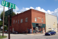
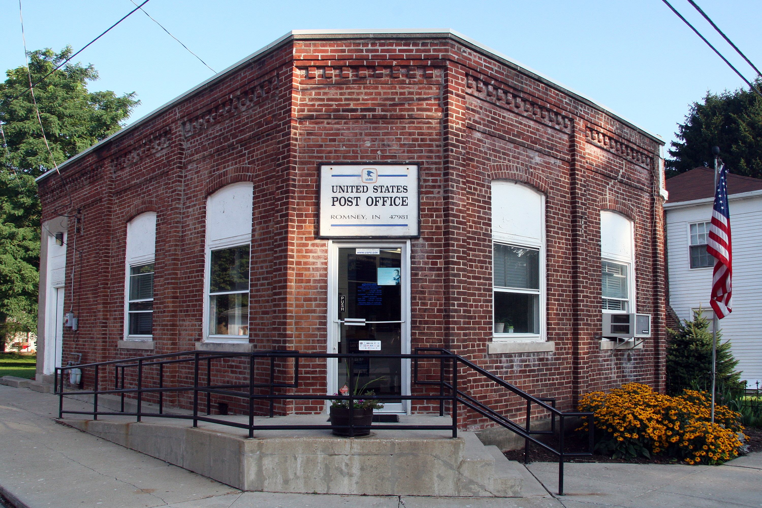
Romney — Unincorporated town — Post office at the corner of Main and High streets. Tippecanoe County's location in Indiana
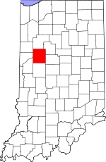 Location in Tippecanoe County
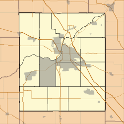
 Romney
Coordinates: 40°14′58″N 086°54′15″W / 40.24944°N 86.90417°WCoordinates: 40°14′58″N 086°54′15″W / 40.24944°N 86.90417°W Country United States State Indiana County Tippecanoe Township Randolph Elevation[1] 738 ft (225 m) ZIP code 47981 GNIS feature ID 0442271 Romney is an unincorporated community in Tippecanoe County in the U.S. state of Indiana. Originally named Columbia, Romney received its present name from the community of Romney in West Virginia.
It has a well known equestrian facility, Foxton Farm, that was once used for fox hunting, but now houses the Equestrian program at Purdue University and stables the polo ponies of the Purdue Polo Club.
The community is part of the Lafayette, Indiana Metropolitan Statistical Area.
Geography
Romney is located at 40°15'5" North, 86°54'13" West (40.251426, -86.903618) in Randolph Township. The town has an elevation of approximately 740 feet.
References
- ^ "US Board on Geographic Names". United States Geological Survey. 2007-10-25. http://geonames.usgs.gov. Retrieved 2008-01-31.
-
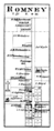
Romney in 1878.
-
Romney toy shop
Municipalities and communities of Tippecanoe County, Indiana Cities 
Towns Battle Ground | Clarks Hill | Dayton | Otterbein‡ | Shadeland
Townships Unincorporated
communitiesAmericus | Ash Grove | Buck Creek | Cairo | Colburn | Concord | Monitor | Monroe | Montmorenci | North Crane | Odell | Pettit | Romney | South Raub | Stockwell | Westpoint
Ghost towns Footnotes ‡This populated place also has portions in an adjacent county or counties
Categories:- Populated places in Tippecanoe County, Indiana
- Unincorporated communities in Indiana
- Lafayette, Indiana metropolitan area
- Indiana geography stubs


Wikimedia Foundation. 2010.