- Odell, Indiana
-
Odell — Unincorporated town — Tippecanoe County's location in Indiana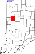 Location in Tippecanoe County
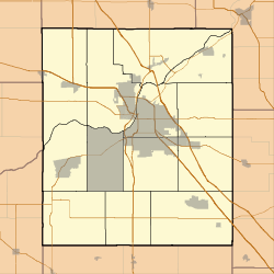
 Odell
OdellCoordinates: 40°17′16″N 087°04′27″W / 40.28778°N 87.07417°W Country United States State Indiana County Tippecanoe Township Jackson Elevation[1] 735 ft (224 m) ZIP code 47918 GNIS feature ID 0440511 Odell is a small town in Jackson Township, Tippecanoe County, Indiana. It is part of the Lafayette, Indiana Metropolitan Statistical Area.
Contents
History
John W. Odell settled the site in 1831, with ownership of the farm later passing to his son Washington. The location, originally known as Odell's Corners, gained a post office in 1871.[2]
Geography
Odell is located at 40°17'16" North, 87°04'26" West (40.287778, -87.073889) in Jackson Township at the intersection of State Roads 25 and 28. The town has an elevation of approximately 730 feet.
References
- ^ "US Board on Geographic Names". United States Geological Survey. 2007-10-25. http://geonames.usgs.gov. Retrieved 2008-01-31.
- ^ Combination Atlas Map of Tippecanoe County, Indiana. Kingman Brothers, reprinted by the Tippecanoe County Historical Association. 1998 [1878]. p. 23.
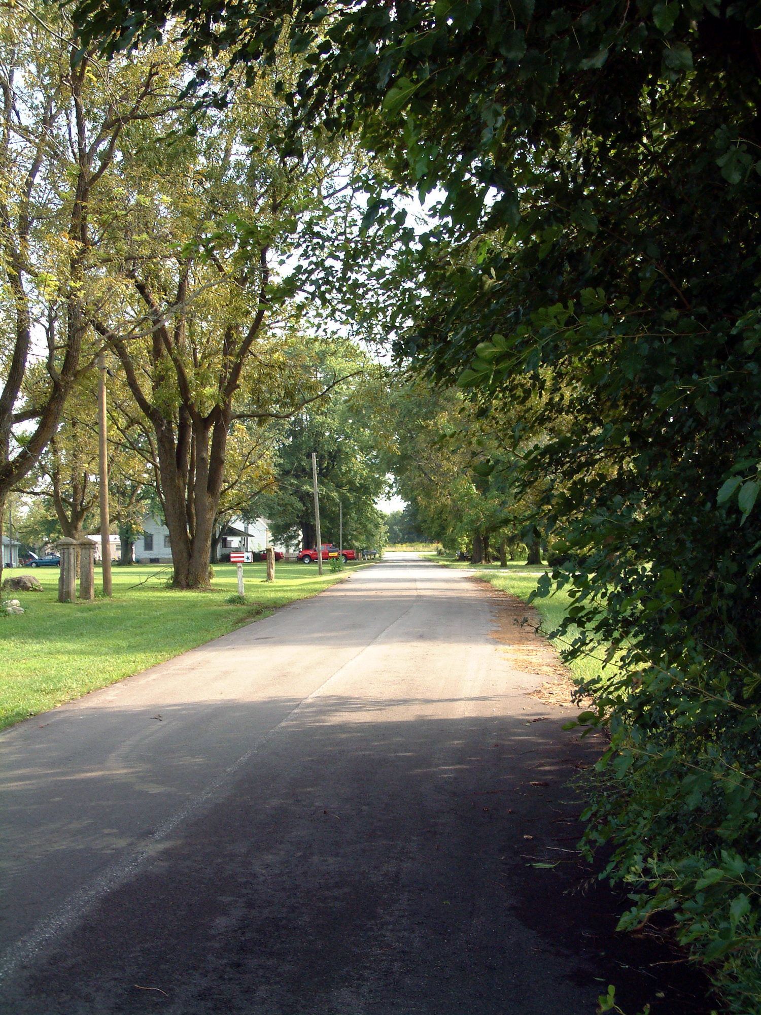
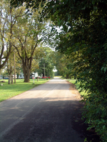 Looking south into Odell.
External links
- Odell, Indiana is at coordinates 40°17′16″N 87°04′26″W / 40.287778°N 87.073889°WCoordinates: 40°17′16″N 87°04′26″W / 40.287778°N 87.073889°W
Municipalities and communities of Tippecanoe County, Indiana Cities 
Towns Battle Ground | Clarks Hill | Dayton | Otterbein‡ | Shadeland
Townships Unincorporated
communitiesAmericus | Ash Grove | Buck Creek | Cairo | Colburn | Concord | Monitor | Monroe | Montmorenci | North Crane | Odell | Pettit | Romney | South Raub | Stockwell | Westpoint
Ghost towns Footnotes ‡This populated place also has portions in an adjacent county or counties
Categories:- Populated places in Tippecanoe County, Indiana
- Unincorporated communities in Indiana
- Lafayette, Indiana metropolitan area


Wikimedia Foundation. 2010.