- Colburn, Indiana
-
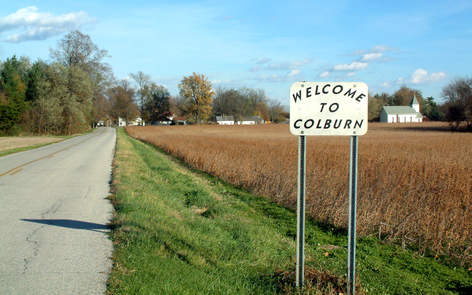
Colburn — Village — Looking east toward Colburn along County Road 700 North Tippecanoe County's location in Indiana
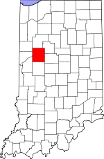 Location in Tippecanoe County
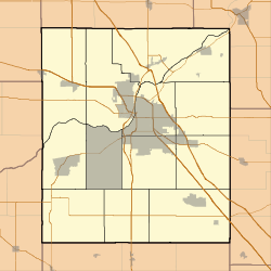
 Colburn
Coordinates: 40°31′7″N 86°42′51″W / 40.51861°N 86.71417°W Country United States State Indiana County Tippecanoe Township Washington Founded 1858 Founder Jacob H. Chapman Elevation 662 ft (202 m) Time zone EST (UTC-5) – Summer (DST) EDT (UTC-4) Zip Code 47905 Area code(s) 765 Colburn (originally Chapmanville) is a small town in northeastern Tippecanoe County, Indiana, United States. It is part of the Lafayette, Indiana Metropolitan Statistical Area.
Geography
Colburn is located at 40°31'07" North, 86°42'51" West (40.518611, -86.714167) in Washington Township, at an elevation of approximately 662 feet. Nearby communities include Lafayette (12 miles southwest), Delphi (6 miles north), Buck Creek (4 miles south) and Americus (3.5 miles west).
External links
- Colburn, Indiana is at coordinates 40°31′07″N 86°42′51″W / 40.518611°N 86.714167°WCoordinates: 40°31′07″N 86°42′51″W / 40.518611°N 86.714167°W
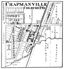 Colburn in 1878.
Municipalities and communities of Tippecanoe County, Indiana Cities 
Towns Battle Ground | Clarks Hill | Dayton | Otterbein‡ | Shadeland
Townships Unincorporated
communitiesAmericus | Ash Grove | Buck Creek | Cairo | Colburn | Concord | Monitor | Monroe | Montmorenci | North Crane | Odell | Pettit | Romney | South Raub | Stockwell | Westpoint
Ghost towns Footnotes ‡This populated place also has portions in an adjacent county or counties
Categories:- Populated places in Tippecanoe County, Indiana
- Unincorporated communities in Indiana
- Lafayette, Indiana metropolitan area


Wikimedia Foundation. 2010.