- Mijoux
-
Mijoux


 Mijoux
Administration Country France Region Rhône-Alpes Department Ain Arrondissement Gex Canton Gex Mayor Jean-Yves Lapeyrère
(2008–2014)Statistics Elevation 866–1,614 m (2,841–5,295 ft)
(avg. 990 m/3,250 ft)Land area1 22.00 km2 (8.49 sq mi) Population2 380 (2008) - Density 17 /km2 (44 /sq mi) INSEE/Postal code 01247/ 01410 1 French Land Register data, which excludes lakes, ponds, glaciers > 1 km² (0.386 sq mi or 247 acres) and river estuaries. 2 Population without double counting: residents of multiple communes (e.g., students and military personnel) only counted once. Coordinates: 46°21′58″N 5°59′46″E / 46.366111°N 5.996111°E
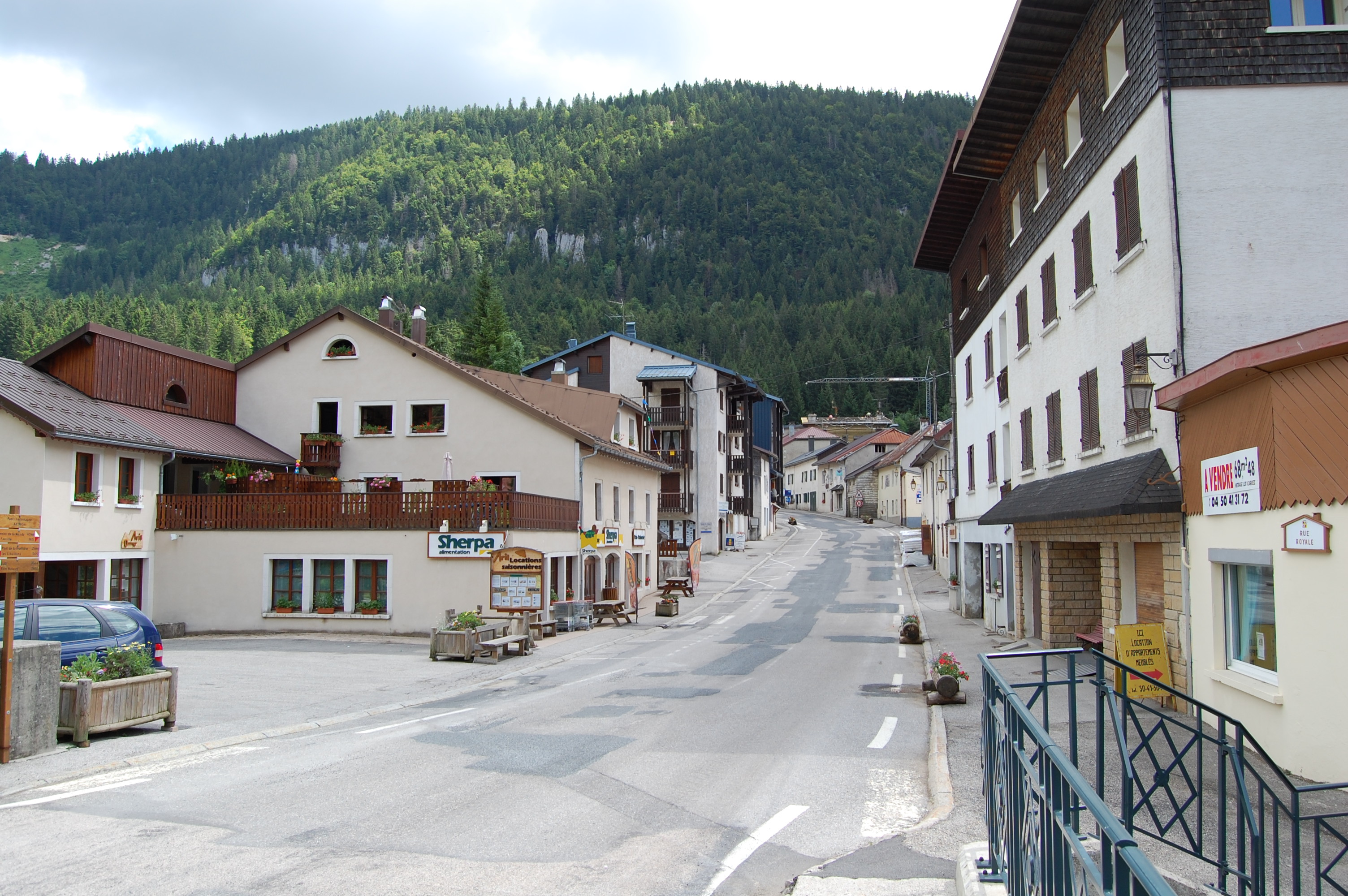
Mijoux is a commune and village in the Ain department in eastern France.
Contents
Geography
The village is situated in the upper section of the narrow Valserine valley, nestled between high limestone cliffs to the south-east that form the first anticline of the Jura mountains and the edge of the Lajoux plateau to the northwest. However, only the south-eastern side of the valley is within the commune's boundary, which stretches from the source of the Valserine river in the north, to the entry into Lélex, further down the valley, in the south. The commune is roughly 16 km long and 2 km wide.
Despite its high altitude (just under 1000 m), the village is built around a crossroads of regional importance: the valley road (D991) which links Bellegarde-sur-Valserine with Les Rousses here crosses the D936 which links Saint-Claude with Geneva over the Col de la Faucille. Both are former routes nationales.
History
Origins
In 1334 the valley was declared common property and revenue was shared between Jean II de Rossillon and Hugues de Joinville, Sire of Gex. The agreement thereby struck up stated that a hospice should be paid for and built within the valley.
The hospice was inhabited by monks who were charged with caring for the poorest pilgrims visiting the tombs of the Saints of Condat in Saint-Claude. Most of the pilgrims were from Geneva or Savoy. This was the first building to be inhabited year-round in Mijoux.
The 15th to 18th centuries
Because of climate conditions within the valley that meant that winter was harsh and that spring was virtually nonexistent, the valley had remained uninhabited for a long time. However, due to the hospice, houses gradually appeared and work to clear the pines began so as to allow agriculture.
At first houses were built along the road that links Lajoux to the Col de la Faucille and it would not be until 1601 at the Treaty of Lyon that the river that bisects the town would become a border: the south-eastern side of the valley became French. In 1612 at the Franco-Spanish treaty, signed in Auxonne, the Valserine was chosen as the border between France and Spain. The north-western side of the valley was ceded to France in 1678 at the Treaties of Nijmegen.
The 19th century until today
At the Treaty of Paris in 1815, after Napoleon's downfall, the new border was defined, as it remains today: it passes along Mijoux's thin northern edge. The French customs, however, were set up along the Valserine as Mijoux, Lélex, Chézery-Forens and the Pays de Gex became a pays franc. Today, the Valserine river serves as the border between the regions of Franche-Comté and Rhône-Alpes, Mijoux lying within the latter for its most part.
During this time, the valley was inhabited by numerous families, whose jobs changed depending on the season. During the summer, tasks included collecting fodder for the livestock, cultivating barley and potatoesas well as collecting firewood. In winter, when the ground was covered in snow, the same families cut and polished gems.
However, the bloodshed of the Great War and the resulting economic crisis contributed to the abandonment of farms and a downturn in poulation levels that left the commune with only half the population it had had 50 years previously.
Today and since 1969, tourism is revitalising this village, mainly due to winter sports. The commune has, for the past 20 years, belonged to the Parc naturel régional du Haut-Jura.
Population
Historical population of Mijoux 1911 1921 1926 1931 1936 1946 1954 1962 1968 1975 664 518 442 404 424 364 323 288 227 191 1982 1990 1999 2008 200 258 312 380 Economy
Mijoux's economy is largely driven by tourism, for the winter sports practised here. Since 1999, Mijoux has been part of the Monts Jura ski resort. Ski lifts link Mijoux to the Col de la Faucille at 1308m and to Mont Rond, at an altitude of 1543m above sea level, one of the highest in the Jura Mountains. This part of the ski station is used mostly by downhill skiers. La Vattay, further up the valley but still within Mijoux, is a centre for Cross-country skiing.
Points of interest
- Col de la Faucille
- The archaeological site around the orientation tables at Montrond, a Monument historique since 1936.
- Pont Charlemagne over the Valserine, that Yolande of Valois crossed with her kidnappers in 1476 during a kidnapping by the Duke of Burgundy.
- Gemcutting museum.
See also
References
External links
Categories:- Communes of Ain


Wikimedia Foundation. 2010.