- Collonges, Ain
-
Collonges


 Collonges
Administration Country France Region Rhône-Alpes Department Ain Arrondissement Gex Canton Collonges Intercommunality Pays de Gex Mayor André Duparc
(2008–2014)Statistics Elevation 329–1,621 m (1,079–5,318 ft)
(avg. 500 m/1,600 ft)Land area1 16.25 km2 (6.27 sq mi) Population2 1,621 (2008) - Density 100 /km2 (260 /sq mi) INSEE/Postal code 01109/ 01550 1 French Land Register data, which excludes lakes, ponds, glaciers > 1 km² (0.386 sq mi or 247 acres) and river estuaries. 2 Population without double counting: residents of multiple communes (e.g., students and military personnel) only counted once. Coordinates: 46°08′21″N 5°54′18″E / 46.1391666667°N 5.905°E
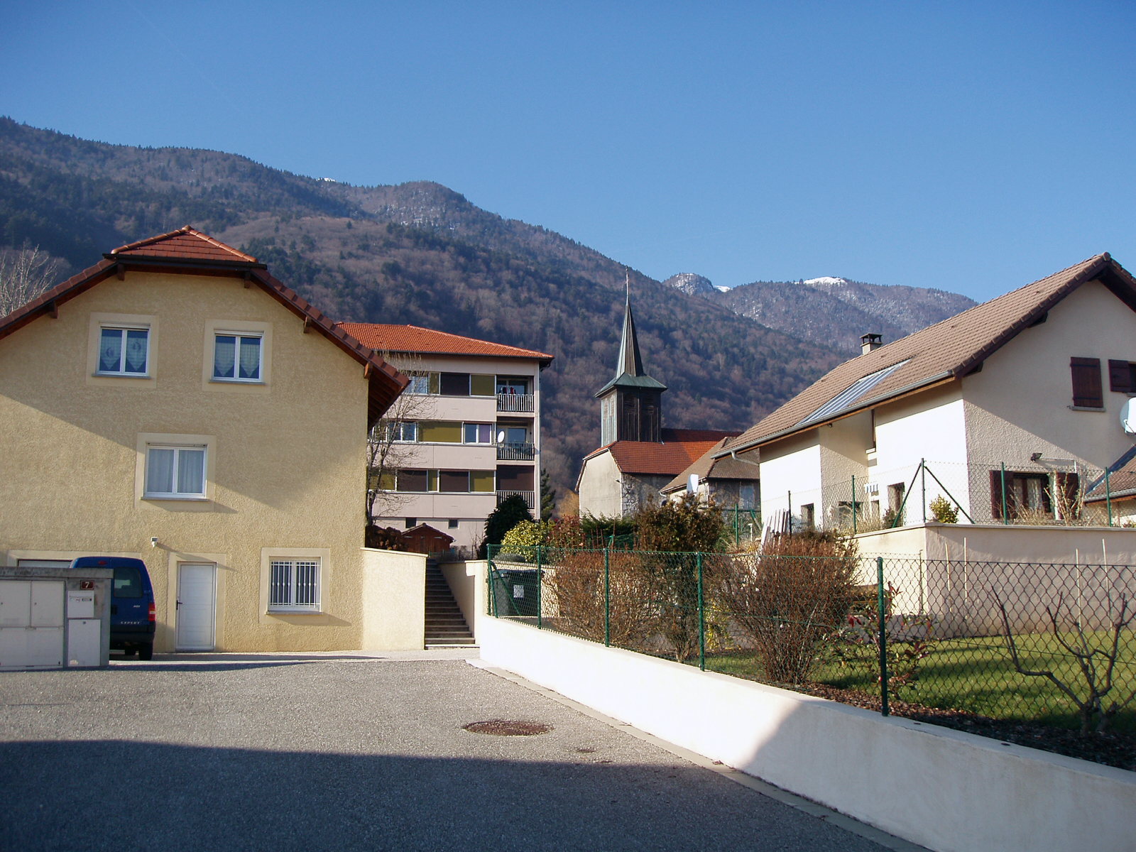
Collonges is a commune in the Ain department in eastern France. Just outside the village is Fort l'Écluse.[1][2]
Population
Historical population of Collonges, Ain 1793 1800 1806 1821 1831 1836 1841 1846 1851 1856 1146 1145 1222 1351 1256 1276 1278 1293 1221 1323 1861 1866 1872 1876 1881 1886 1891 1896 1901 1906 1171 1166 1115 1086 1091 1104 1075 1503 956 891 1911 1921 1926 1931 1936 1946 1954 1962 1968 1975 871 852 836 701 754 657 732 879 901 966 1982 1990 1999 2008 926 1000 1106 1621 See also
References
Categories:- Communes of Ain
- Ain geography stubs


Wikimedia Foundation. 2010.