- Municipal Borough of Leyton
-
Leyton Motto: MINISTANDO DIGNITAS (Dignity in service) 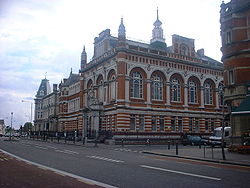
Leyton Town Hall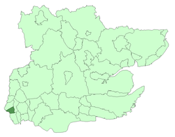
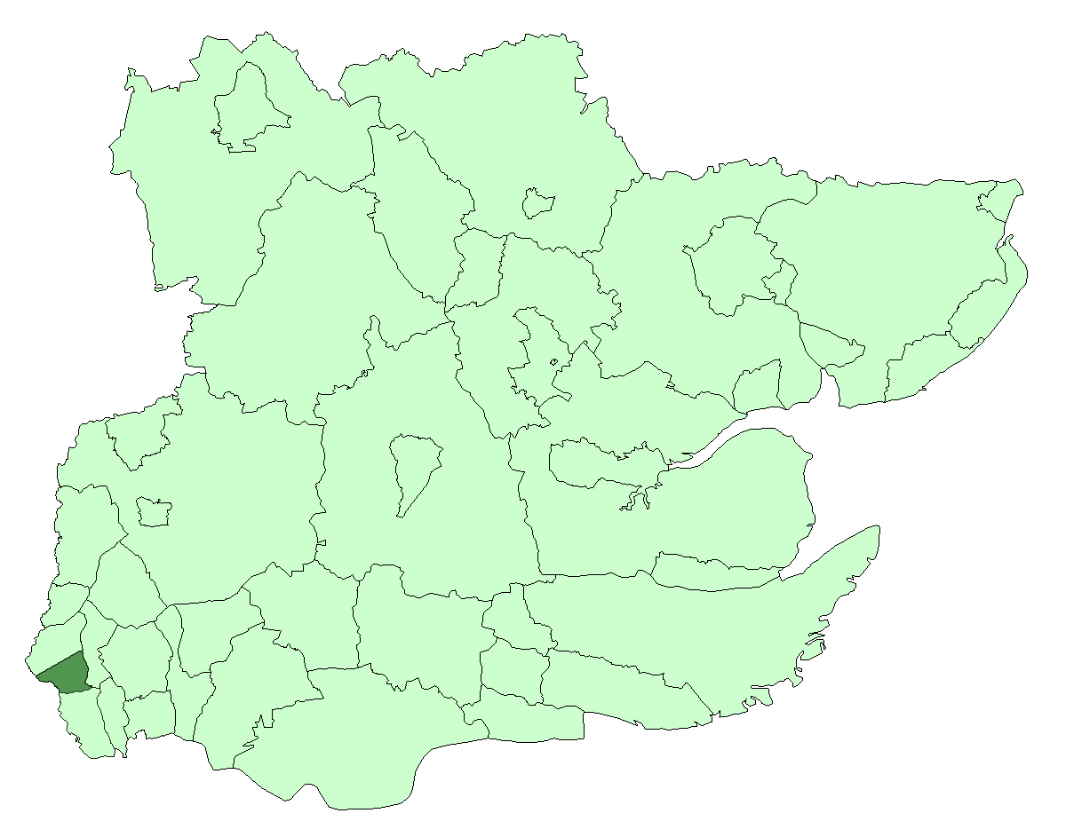
Leyton within Essex in 1961Geography Status Local government district (1875—1894)
Urban district (1894—1926)
Municipal borough (1926—1965)1901 area 2,594 acres (10.5 km2) 1931 area 2,594 acres (10.5 km2) 1961 area 2,595 acres (10.5 km2) HQ High Road, Leyton History Origin Leyton St Mary ancient parish Created 1875 Abolished 1965 Succeeded by London Borough of Waltham Forest Demography 1901 population
- 1901 density98,912
38.1/acre1931 population
- 1931 density128,313
49.5/acre1961 population
- 1961 density93,959
36.2/acrePolitics Governance Leyton Local Board (1875—1894)
Leyton Urban District Council (1894—1926)
Leyton Borough Council (1926—1965)Subdivisions Type Civil parishes Units Leyton (1875—1965)[note a]
Wanstead (part) (1883—1894)
Cann Hall (1894—1965)Leyton was a local government district in southwest Essex, England, from 1875 to 1965. It included the neighbourhoods of Leyton, Leytonstone and Cann Hall. It was suburban to London, forming part of the London postal district and Metropolitan Police District. It now forms the southernmost part of the London Borough of Waltham Forest in Greater London.
Contents
Background
Leyton St Mary, sometimes known as Low Leyton, was an ancient parish in the Becontree hundred of Essex, England. It included a detached part to the north of 588 acres, separated from the main part of the parish by a long, narrow exclave of Walthamstow. To the south of the parish, Wanstead formed a long protrusion meeting with the marshes of the River Lea and divided Leyton from West Ham.
Formation
The local government of Leyton was controlled by the parish vestry. Through house building and construction of the railway the parish expanded as an extra-metropolitan suburb of London. The parish authorities resisted earlier attempts to form a local board of health, but finally agreed with it becoming a local government district in 1875. The local government district also included the part of the parish of Wanstead to the south.
Change
Leyton became an urban district in 1894 under the Local Government Act 1894. The portion of Wanstead in the district was reconstituted as a new parish of Cann Hall. The urban district was incorporated as a municipal borough in 1926. The borough ran its own tram services until they became the responsibility of the London Passenger Transport Board in 1933.[1]
Abolition
In 1965 the municipal borough was abolished by the London Government Act 1963 and its former area transferred to Greater London from Essex. Its former area was combined with that of the Municipal Borough of Chingford and the Municipal Borough of Walthamstow to form the present-day London Borough of Waltham Forest.
Notes
- ^note a : The whole parish, except 1883—1887
References
- ^ Reed, J., London Tramways, (1997)
External links
Local government districts abolished or transferred by the London Government Act 1963 London · CC Battersea · Bermondsey · Bethnal Green · Camberwell · Chelsea · Deptford · Finsbury · Fulham · Greenwich · Hackney · Hammersmith · Hampstead · Holborn · Islington · Kensington · Lambeth · Lewisham · Paddington · Poplar · Shoreditch · Southwark · St. Marylebone · St. Pancras · Stepney · Stoke Newington · Wandsworth · Westminster · Woolwich
Constituent parts of Greater LondonEssex Barking · Chigwell (part) · Chingford · Dagenham · East Ham · Hornchurch · Ilford · Leyton · Romford · Walthamstow · Wanstead and Woodford · West Ham
Hertfordshire Middlesex · CC Acton · Brentford and Chiswick · Ealing · Edmonton · Enfield · Feltham · Finchley · Friern Barnet · Harrow · Hayes and Harlington · Hendon · Heston and Isleworth · Hornsey · Ruislip-Northwood · Southall · Southgate · Tottenham · Twickenham · Uxbridge · Wembley · Willesden · Wood Green · Yiewsley and West Drayton
Kent Surrey Transfers Categories:- Districts of England created by the Local Government Act 1894
- History of Waltham Forest
- History of local government in London (1889–1965)


Wikimedia Foundation. 2010.