- Clifton, Greater Manchester
-
For other uses, see Clifton (disambiguation).
Coordinates: 53°31′26″N 2°19′13″W / 53.5239°N 2.3203°W
Clifton 
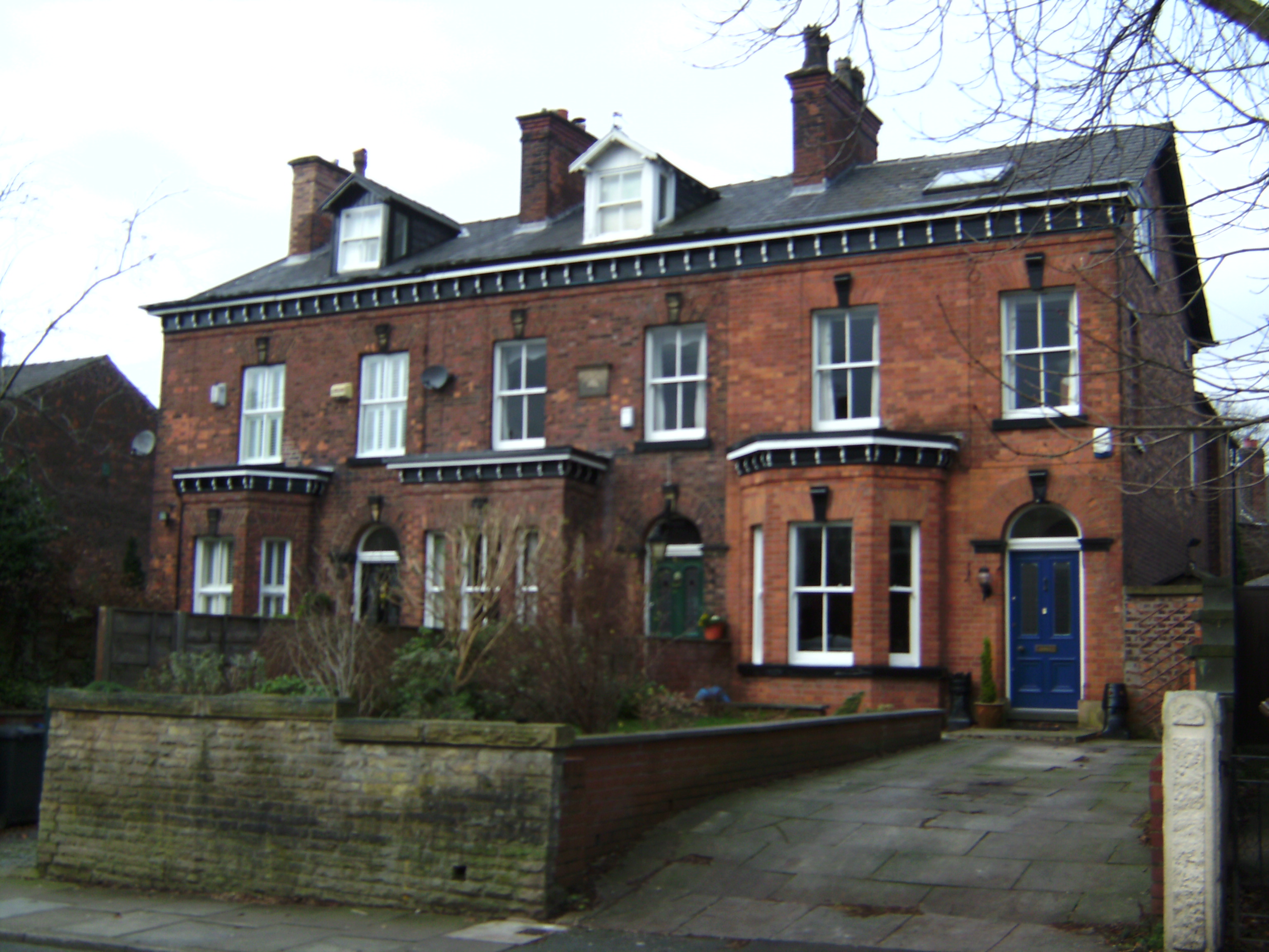
Terraced housing on Rake Lane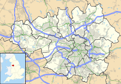
 Clifton
Clifton shown within Greater ManchesterOS grid reference SD775035 Metropolitan borough Salford Metropolitan county Greater Manchester Region North West Country England Sovereign state United Kingdom Post town MANCHESTER Postcode district M27 Dialling code 0161 Police Greater Manchester Fire Greater Manchester Ambulance North West EU Parliament North West England UK Parliament Salford & Eccles List of places: UK • England • Greater Manchester Clifton is a small town within the metropolitan borough of the City of Salford, in Greater Manchester, England. It lies in the Irwell Valley in the northern part of the City of Salford.
Historically a part of Lancashire, Clifton, a former centre for coal mining, once formed part of the municipal borough of Swinton and Pendlebury.
Contents
History
Clifton is derived from the Old English clif and tun, and means the "settlement near a cliff, slope, or riverbank".[1] Clifton was mentioned in the Pipe Roll of 1183–84.[2]
Coal mining
Clifton Hall Colliery was situated a few yards to the west of Lumn's Lane on a site currently occupied by a domestic refuse and recycling site, run by the Greater Manchester Waste Disposal Authority. It is thought that the colliery was operating by 1820, and its tramway is shown on a parliamentary plan from 1830. It is also shown on an 1845 map. Clifton Hall Colliery closed in 1929.
On 18 June 1885, an explosion within the colliery killed 178 men and boys.[3] It is thought that the explosion was caused by firedamp igniting upon contact with a candle. Blacksmith George Hindley (aged 16 at the time) and fireman George Higson, were part of a band of men who descended into the mine immediately after the explosion. They both later received an Albert Medal (2nd class) in recognition of their heroism.
Governance
Clifton was a township in the ecclesiastical parish of Eccles in the hundred of Salford in the historic county of Lancashire.[4]
Geography
Clifton lies five miles north west of Manchester on the A666 road to Bolton. The township covered 850 acres in the valley of the River Irwell, which flows on the north east boundary. The Manchester and Bolton railway line passes through and there was a junction with the line to Bury and Rossendale which opened to Rawtenstall in September 1846. The highest land rises to over 300 feet above sea level to the west of the township near the Worsley boundary and is moss land. The underlying rocks are New Red Sandstone between Clifton and Ringley while the rest of the township lies on the Middle Coal Measures of the Manchester Coalfield.[2] The remains of the Wet Earth Colliery are located in Clifton Country Park.
Transport
Clifton is served by Clifton railway station, a small railway station on the main Manchester to Preston Line. In earlier and more labour-intensive times, the station was known as "Clifton Junction" due to it being located at the junction of the Manchester and Bolton Railway and Manchester, Bury and Rossendale Railway lines. The Bury line left the station/junction and soon passed over Clifton Viaduct, known locally as "the thirteen arches"[5][6] and across the Irwell Valley. Clifton Junction was, in the days before mass ownership of the family car, vitally important in bringing workers to the three large factories located minutes away, namely, Magnesium Elektron Ltd (M.E.L.), Chloride Batteries and Pilkington's Tiles. The Manchester Bolton and Bury Canal ran through Clifton and once served these businesses. The Clifton Aqueduct carried the canal across the River Irwell.[7] and is preserved as a Grade 2 listed building.[6] There are plans to restore the canal for leisure use at a cost of over £50M.
Education
Clifton currently has two primary schools and a pupil referral unit within its boundaries:
See also: List of schools in Greater ManchesterSchool Locality Description Ofsted Clifton Primary School Wroe Street, Clifton, M27 6PF Primary school 105907 St Mark's R.C. Primary School Queensway, Clifton, M27 8QE Primary school 105956 The Clifton Centre Silverdale, Clifton, M27 8GW Pupil referral unit 130007 Sport
Clifton Cricket Club play in the Central Lancashire Cricket League. The club's ground is on Manchester Road (A666 road), Clifton, about half a mile northwest of Junction 16 of the M60 motorway.
Queensmere Dam off Queensway is leased from the Forestry Commission by Swinton and Pendlebury Angling club.
See also
- Fletcher's Canal
- Pilkington Lancastrian Pottery
References
- ^ Mills, A.D. (2003), A Dictionary of British Place-Names (subscription required), Oxford: Oxford University Press, ISBN 0-19-852758-6, http://www.oxfordreference.com/views/ENTRY.html?subview=Main&entry=t41.e694
- ^ a b Farrer, William; Brownbill, J, eds. (1911), "Clifton", A History of the County of Lancaster: Volume 4 (British History Online): pp. 404–406, http://www.british-history.ac.uk/report.aspx?compid=41445, retrieved 2011-06-18
- ^ Clifton Colliery Explosion: A brief description and memorial Durham Mining Museum
- ^ Lewis, Samuel (1848), "Clifton", A Topographical Dictionary of England (British History Online): pp. 635–639, http://www.british-history.ac.uk/report.aspx?compid=50884#s6, retrieved 2011-06-18
- ^ Clifton Railway Viaduct: A brief description
- ^ a b Listed Building Register C - Salford City Council
- ^ Clifton Aqueduct on the Manchester Bolton and Bury Canal
Categories:- Geography of Salford
- Districts of Greater Manchester

Wikimedia Foundation. 2010.