- Commonwealth Avenue, Canberra
-
Commonwealth Avenue 


Length 2.26 km (1 mi) Direction North-South From Vernon Circle via Parkes, Yarralumla, Acton To Capital Circle Established 1930s Allocation Part of National Route 23 Major junctions Parkes Way, State Circle, Parliament Drive Commonwealth Avenue is a major road in Canberra, Australian Capital Territory, Australia. It connects Civic with South Canberra. Specifically, it runs between City Hill and Capital Hill.
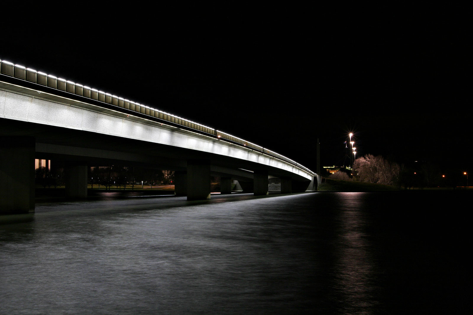
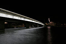 Commonwealth Avenue Bridge at night

The first Commonwealth Avenue Bridge was constructed in 1928. It replaced a ford across the Molonglo River.
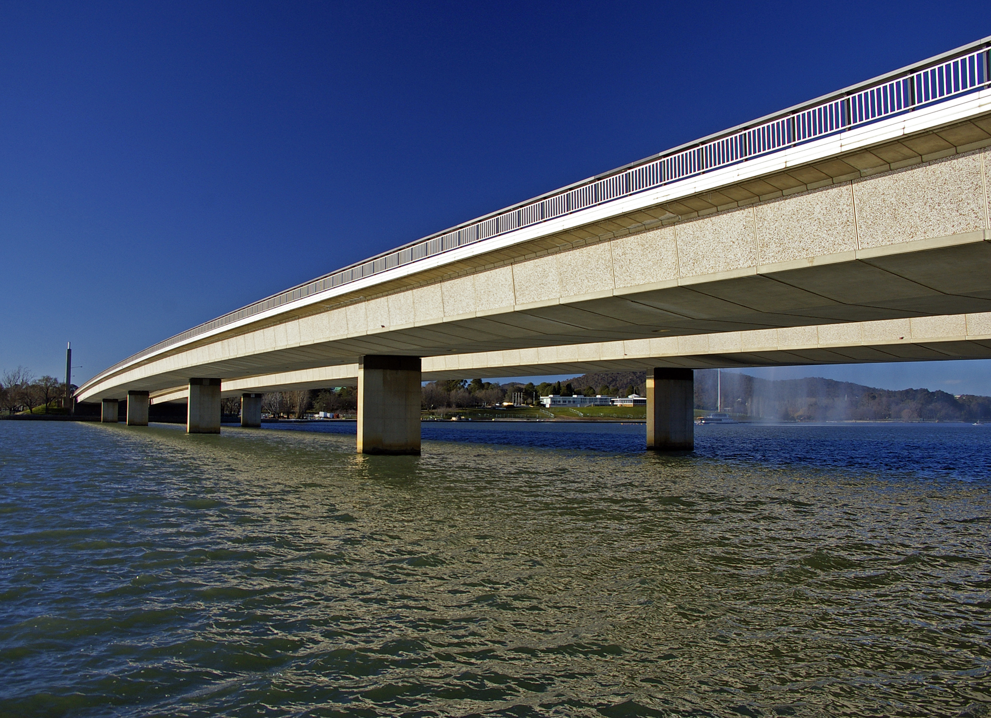
The road is six lanes wide with a wide median down the middle. It crosses Lake Burley Griffin over the Commonwealth Bridge. It is connected with Parkes Way by freeway style on-ramps. Along its length on the northern side are the Catholic Archbishop's residence and Commonwealth Park. On the south side of the lake the road is lined with large trees and is bounded by the suburb of Parkes on the east and Yarralumla on the west. Significant sites along this stretch include the Albert Hall, the Hotel Canberra and the High Commissions of the United Kingdom, New Zealand and Canada.
Upon reaching Capital Hill, the road turns into Capital Circle which circles around Parliament House before connecting with Adelaide Avenue which connects it with Woden Valley. There is a ramp at the end of Commonwealth Avenue which allows access to Parliament House.
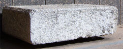
Between the spans on the southern side are two granite stones from the 1817 Waterloo Bridge across the River Thames in London. These were presented to Australia after the 1817 bridge was demolished in the 1940s and replaced by a modern structure. A plaque reads, in part, "Stones such as these from the bridge were presented to Australia and other parts of the British world to further historic links in the British Commonwealth of Nations."
 Road infrastructure in Canberra
Highways: 
Freeways: Bridges & tunnels: Major roads: Adelaide Avenue · Athllon Drive · Barry Drive · Belconnen Way · Canberra Avenue · Caswell Drive · Commonwealth Avenue · Constitution Avenue · Drakeford Drive · Fairbairn Avenue · Ginninderra Drive · Gungahlin Drive · Hindmarsh Drive · Isabella Drive · Kings Avenue · Limestone Avenue · Majura Road · Northbourne Avenue · Parkes Way · Tharwa Drive · William Hovell Drive · Yamba DriveInterchanges: Roads ACT · Transport in the Australian Capital Territory · Streets in Canberra
Coordinates: 35°17′35″S 149°07′37″E / 35.2931°S 149.1269°ECategories:- 1930s establishments in Australia
- Streets in Canberra
- Transport in the Australian Capital Territory
- Australian Capital Territory stubs
- Australia road stubs


Wikimedia Foundation. 2010.