- N10 road (South Africa)
-
National Route N10
Route information Maintained by SANRAL Major junctions Northwest end: B3 at the Namibian border at Nakop  N14 in Upington
 N12 at Britstown
 N1 at Hanover
 N9 near Middelburg
Southeast end:  N2 near Coega
Location Major cities: Upington, De Aar, Cradock Highway system National Roads of South Africa
← N9N11  →
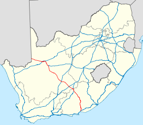
→The N10 is a National Route[1] in South Africa. It connects Port Elizabeth on the Eastern Cape coast with the Namibian border at Nakop, via De Aar and Upington.
Route
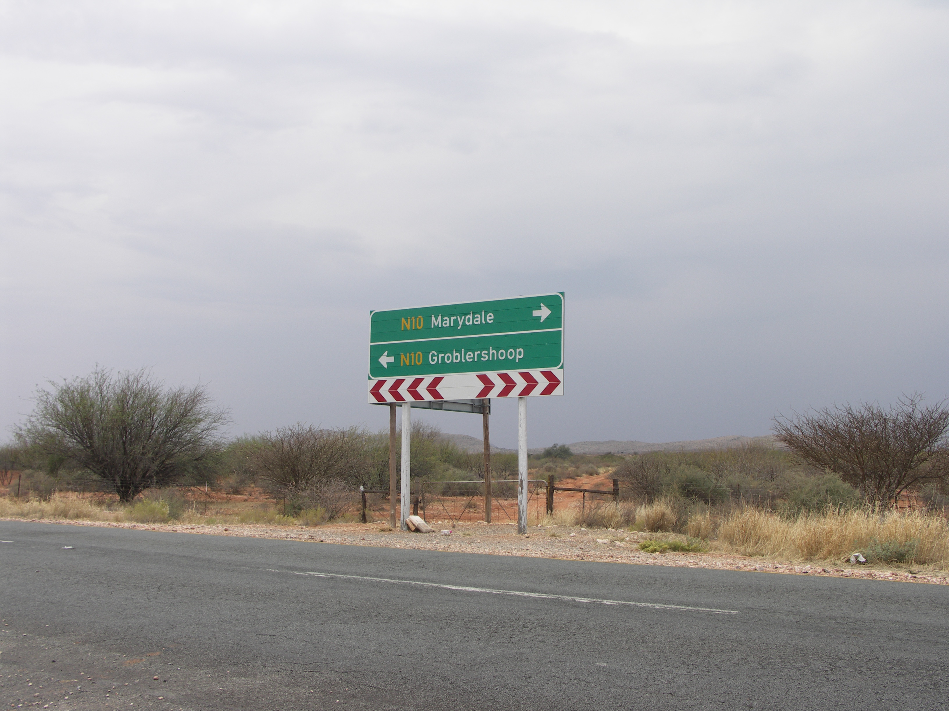
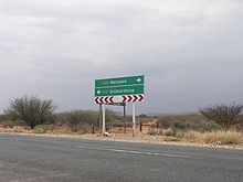 The N10 in the Northern Cape
The N10 begins at Nakop on the Namibian border; on the Namibian side the road is known as the B3. It runs east to Upington in the Northern Cape, where it crosses the Orange River, and then south-east through Prieska and De Aar. At Middelburg it enters the Eastern Cape, and continues south through Cradock to end at the N2 between Port Elizabeth and Grahamstown.
References
External links
National (N) Routes in South Africa 
 Categories:
- National Roads in South Africa
- South Africa road stubs


Wikimedia Foundation. 2010.