- Mühlig-Hofmann Mountains
-
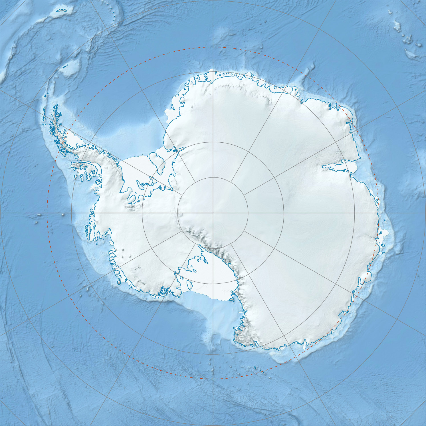
Mühlig-Hofmann Mountains Range Continent Antarctica Region Queen Maud Land, East Antarctica Part of East Antarctica Ranges Highest point Kyrkjeskipet Peak - elevation 10,121 ft (3,085 m) - coordinates 72°00′00″S 05°20′00″E / 72°S 5.3333333°E  Map depicting the territorial extent of Queen Maud Land
The Mühlig-Hofmann Mountains is a major group of associated mountain features extending east to west for 65 miles between the Gjelsvik Mountains and the Orvin Mountains in Queen Maud Land, East Antarctica. With its summit at 3,085 metres (10,121 ft), the massive Kyrkjeskipet Peak forms the highest point in the Mühlig-Hofmann Mountains.
Contents
Discovery and naming
 Mühlig-Hofmann Mountains
The Mühlig-Hofmann Mountains were discovered by the Third German Antarctic Expedition (1938-1939), led by Capt. Alfred Ritscher, and named for the division director of the German Air Ministry. They were remapped by the Norwegian Antarctic Expedition, 1956-1960.[1]
See also
- East Antarctica Ranges
- East Antarctic two-thousanders
- History of Antarctica
- List of Antarctic expeditions
References
"Mühlig-Hofmann Mountains". Geographic Names Information System, U.S. Geological Survey. http://geonames.usgs.gov/pls/gnispublic/f?p=gnispq:5:::NO::P5_ANTAR_ID:10364. Retrieved 31 May 2010.
External links
- United States Geological Survey, Geographic Names Information System (GNIS)
- Scientific Committee on Antarctic Research (SCAR)
 This article incorporates public domain material from the United States Geological Survey document "Mühlig-Hofmann Mountains" (content from the Geographic Names Information System). Coordinates: 72°00′S 5°20′E / 72°S 5.333°E
Antarctica Main articles - Antarctic
- History
- Geography
- Climate
- Expeditions
- Research stations
- Field camps
- Territorial claims
- Antarctic Treaty System
- Telecommunications
- Demographics
- Economy
- Tourism
- Transport
- Military activity in the Antarctic
Geographic regions - Antarctic Peninsula
- East Antarctica
- West Antarctica
- Extreme points of the Antarctic
- List of Antarctic and subantarctic islands
- Antarctica ecozone
Waterways Famous explorers Categories:- Mountain ranges of Queen Maud Land

Wikimedia Foundation. 2010.