- Minami-ku, Sagamihara
-
Minami-ku
南区— Ward of Sagamihara — 南区 • Minami-ku Map of Minami-ku, Sagamihara

 Minami-ku
Coordinates: 35°31′N 139°25′E / 35.517°N 139.417°ECoordinates: 35°31′N 139°25′E / 35.517°N 139.417°E Country Japan Region Kantō Prefecture Kanagawa City Sagamihara Area - Total 38.2 km2 (14.7 sq mi) Population (February 1, 2010) - Total 272,794 - Density 7,141/km2 (18,495.1/sq mi) Time zone Japan Standard Time (UTC+9) City Symbols Phone number 042-749-2134 Address 31-1, Sagamiōno 5-chōme, Minami-Ku, Sagamihara-shi Kanagawa-ken 252-0377 Website Minami-ku home page  Sagamihara Minami-ku Ward Office
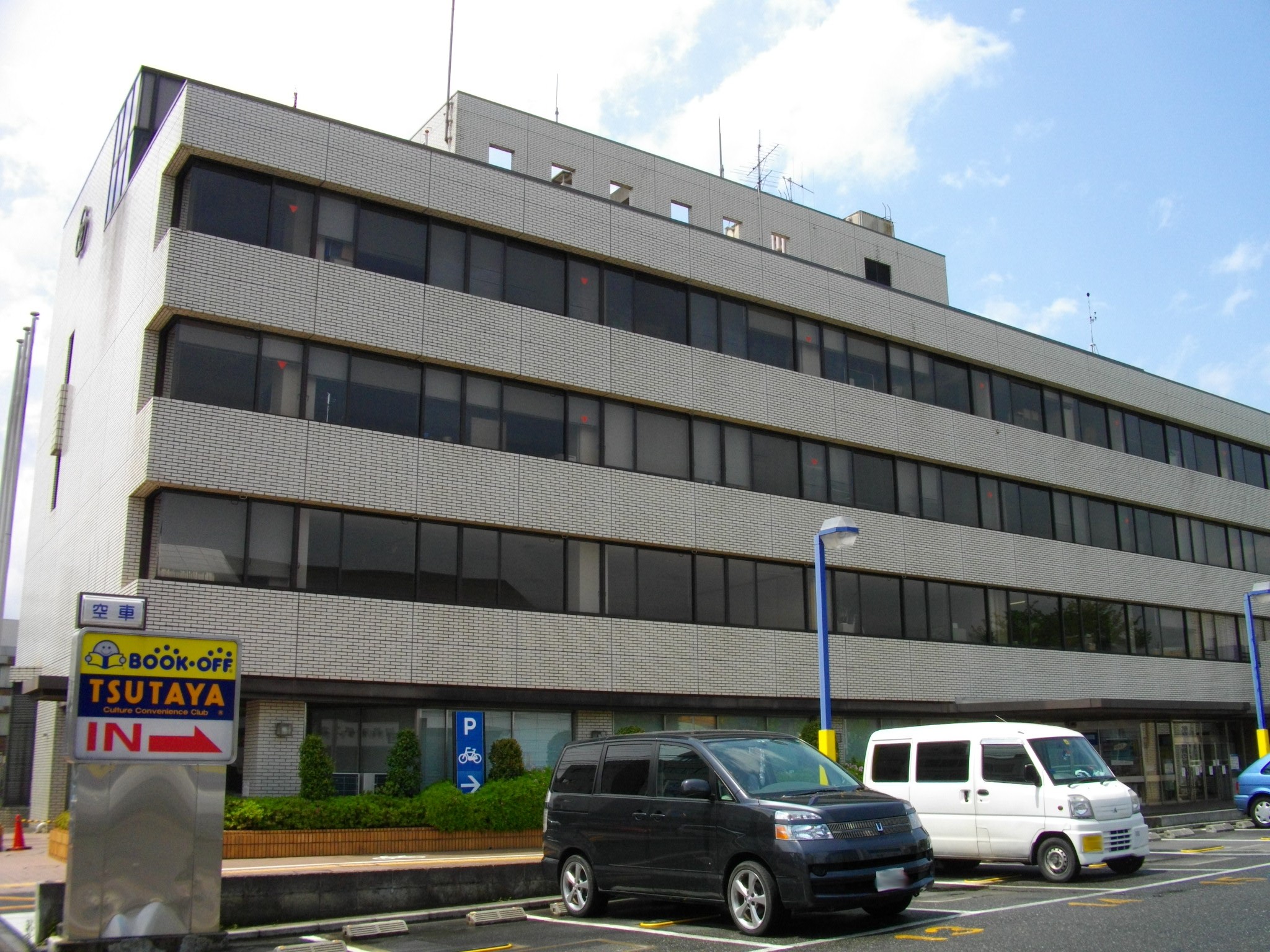
Minami-ku (南区 Minami-ku) is one of three wards of Sagamihara, Kanagawa, Japan, located in the east part of the city. The west of Minami-ku faces Chūō-ku.
Minami-ku was created on April 1, 2010 when Sagamihara became a city designated by government ordinance (a "designated city").
As of March 2010, Minami-ku had a population of 272,794, with a land area of 38.2 square kilometers.
 Kanagawa Prefecture
Yokohama (capital city) 
Kawasaki Sagamihara Other cities Aikō District Ashigarakami District Ashigarashimo District Kōza District Miura District Naka District Other areas 
This Kanagawa Prefecture location article is a stub. You can help Wikipedia by expanding it.