- Ōi, Kanagawa
-
This article is about the town in Kanagawa Prefecture, Japan. Other towns in other prefectures share the same name, see Ōi, Fukui and Ōi, Saitama.
Ōi
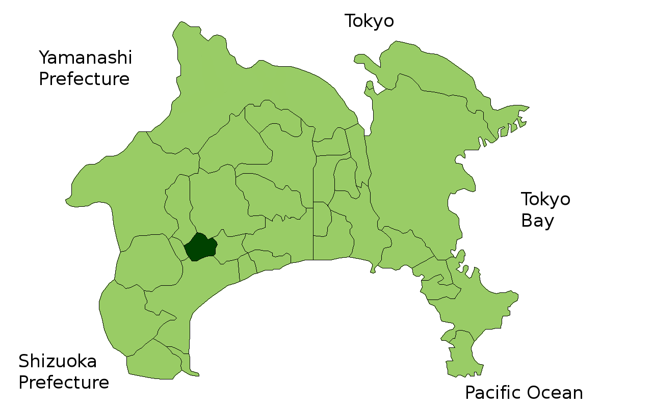
大井町— Town — Location of Ōi in Kanagawa Prefecture

 Ōi
ŌiCoordinates: 35°20′N 139°09′E / 35.333°N 139.15°ECoordinates: 35°20′N 139°09′E / 35.333°N 139.15°E Country Japan Region Kantō Prefecture Kanagawa Prefecture District Ashigarakami Area – Total 14.41 km2 (5.6 sq mi) Population (February 1, 2010) – Total 17,928 – Density 1,250/km2 (3,237.5/sq mi) Time zone Japan Standard Time (UTC+9) City Symbols - Tree Osmanthus fragrans - Flower Narcissus - Bird Japanese White-eye Phone number 0465-83-1311 Address 1995 Kaneko, Ōi-machi, Ashigarakami-gun, Kanagawa-ken 258-8501 Website Town of Ōi Ōi (大井町 Ōi-machi) is a town located in Ashigarakami District, Kanagawa Prefecture, Japan. As of 2010, the town had an estimated population of 17,928 and a density of 1,250 persons per km². The total area was 14.41 km².
Contents
Geography
Ōi is located in hilly west-central Kanagawa Prefecture, bordering on the Tanzawa Mountains.
Surrounding municipalities
History
During the Edo period, the area around present-day Ōi was part of Odawara Domain in Sagami Province. After the Meiji Restoration, it became part of Ashigarakami District in Kanagawa Prefecture. On April 1, 1889, the district of Ashigarakami was administratively divided into villages, including Kaminaka, Soga, Yamada and Kaneda. On November 3, 1943, the villages of Yamada and Kaminaka merged to form the village of Aiwa. Aiwa later lost a portion of its territory to neighboring Nishihadano on June 20, 1956. The remaining portion merged with Kaneda and portions of Soga to form Ōi on April 1, 1956.
Economy
The economy of the Ōi is primarily agricultural.
Transportation
Railroad
Highway
- Tōmei Expressway (Ōi-Matsuda Interchange)
- Japan National Route 255
External links
- Official website in Japanese
 Kanagawa Prefecture
Yokohama (capital city) Wards 
Kawasaki Wards Sagamihara Wards Other cities Aikō District Ashigarakami District Ashigarashimo District Kōza District Miura District Naka District Other areas 
This Kanagawa Prefecture location article is a stub. You can help Wikipedia by expanding it.