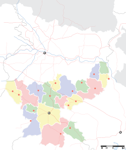
- Mahulia
-
Mahulia — village — Coordinates 22°39′0″N 86°24′0″E / 22.65°N 86.4°ECoordinates: 22°39′0″N 86°24′0″E / 22.65°N 86.4°E Country India State Jharkhand District(s) East Singhbhum Time zone IST (UTC+05:30) Area
• Elevation
• Coastline
• 93 metres (305 ft)
• 0 kilometres (0 mi)Mahulia is a town in East Singhbhum district, Jharkhand, India.
Contents
Geography
It is located at 22°39′0″N 86°24′0″E / 22.65°N 86.4°E at an elevation of 93 m from MSL.[1]
Location
National Highway 33 passes through Mahulia. Nearest airport is Sonari Airport and railway station is at Ghatsila.
References
- ^ http://www.fallingrain.com/world/IN/38/Mahulia.html Map and weather of Mahulia
External links
Cities and towns in Kolhan division East Singhbhum district Bagbera • Baharagora • Chakulia • Chhota Gobindpur • Gadhra • Ghatshila • Ghorabandha • Haludbani • Jadugora • Jamshedpur • Jugsalai • Kokpara • Mahulia • Mango • Musabani • SarjamdaSeraikela Kharsawan district West Singhbhum district Barajamda • Chaibasa • Chakradharpur • Chiria • Danguwapasi • Gua • Jhinkpani • Kalikapur • Kandra • Kiriburu • Meghahatuburu • Noamundi • Porahat • SiniRelated topics Kolhan Division topicsCities and towns
in other DivisionsCategories:- Jharkhand geography stubs
- Cities and towns in East Singhbhum district
Wikimedia Foundation. 2010.


