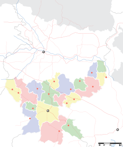
- Mango (Jamshedpur)
-
Mango — city — Coordinates 22°49′39″N 86°12′59″E / 22.8275°N 86.21639°ECoordinates: 22°49′39″N 86°12′59″E / 22.8275°N 86.21639°E Country India State Jharkhand District(s) Purbi Singhbhum Population 166,091 (2001[update]) Time zone IST (UTC+05:30) Codes-
• Pincode • 831012
Mango is a suburb of the city Jamshedpur. It is situated across the Subarnarekha River and is connected via two bridges laid side by side. It's a huge and growing residential area. Once a suburb it is now a real estate hotbed.Mango has the status of a 'city' according to the government though being part of the main city Jamshedpur. It is a notified area and is run by its own notified area committee MNAC or Mango Notifies Area Committee. The electricity services are provided by state run electricity board JSEB. There is no household water delivery system presently but MNAC has recently entered into an agreement with JUSCO to provide tap water services to the area.
It is primarily a residential area and is now witnessing a real estate boom. Many developers have or are developing residential colonies in the area.
It has two hospitals namely MGM Medical hospital and the newly opened Brahmananda Hospital. The MGM Hospital also has a college associated with it. Two new private engineering colleges have also come in the area.
Demographics
As of 2011[update] India census[1], Mango had a population of 320,913. Males constitute 53% of the population and females 47%. Mango has an average literacy rate of 70%, higher than the national average of 59.5%: male literacy is 76%, and female literacy is 63%. In Mango, 14% of the population is under 6 years of age.
References
- ^ "Census of India 2001: Data from the 2001 Census, including cities, villages and towns (Provisional)". Census Commission of India. Archived from the original on 2004-06-16. http://web.archive.org/web/20040616075334/http://www.censusindia.net/results/town.php?stad=A&state5=999. Retrieved 2008-11-01.
Cities and towns in Kolhan division East Singhbhum district Bagbera • Baharagora • Chakulia • Chhota Gobindpur • Gadhra • Ghatshila • Ghorabandha • Haludbani • Jadugora • Jamshedpur • Jugsalai • Kokpara • Mahulia • Mango • Musabani • SarjamdaSeraikela Kharsawan district West Singhbhum district Barajamda • Chaibasa • Chakradharpur • Chiria • Danguwapasi • Gua • Jhinkpani • Kalikapur • Kandra • Kiriburu • Meghahatuburu • Noamundi • Porahat • SiniRelated topics Kolhan Division topicsCities and towns
in other DivisionsCategories:- Cities and towns in East Singhbhum district
- Jharkhand geography stubs
-
Wikimedia Foundation. 2010.


