- Doły Jasielsko-Sanockie
-
The Jasielsko-Sanockie Pits Polish: Doły Jasielsko-Sanockie Range 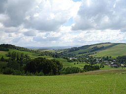
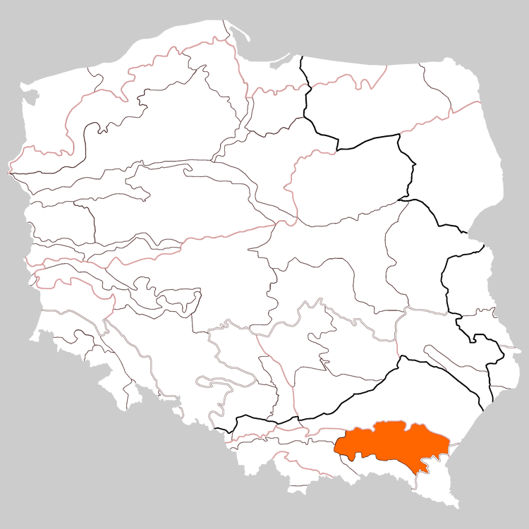
Country Poland Part of Central Beskidian Piedmont in Sanok County,
Krosno County, Jasło County,
Gorlice County,Borders on Bieszczady Mountains,
and Low BeskidsHighest point Dział (peak) - elevation 678 m (2,224 ft) - coordinates 49°29′00″N 22°40′04″E / 49.4833333°N 22.66778°E Length 100 km (62 mi), west-east Width 18 - 20 km (6 mi), north-south Area 1,200 km2 (463 sq mi) Geology granite, gneiss, limestone 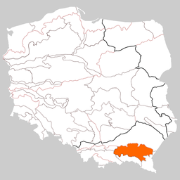
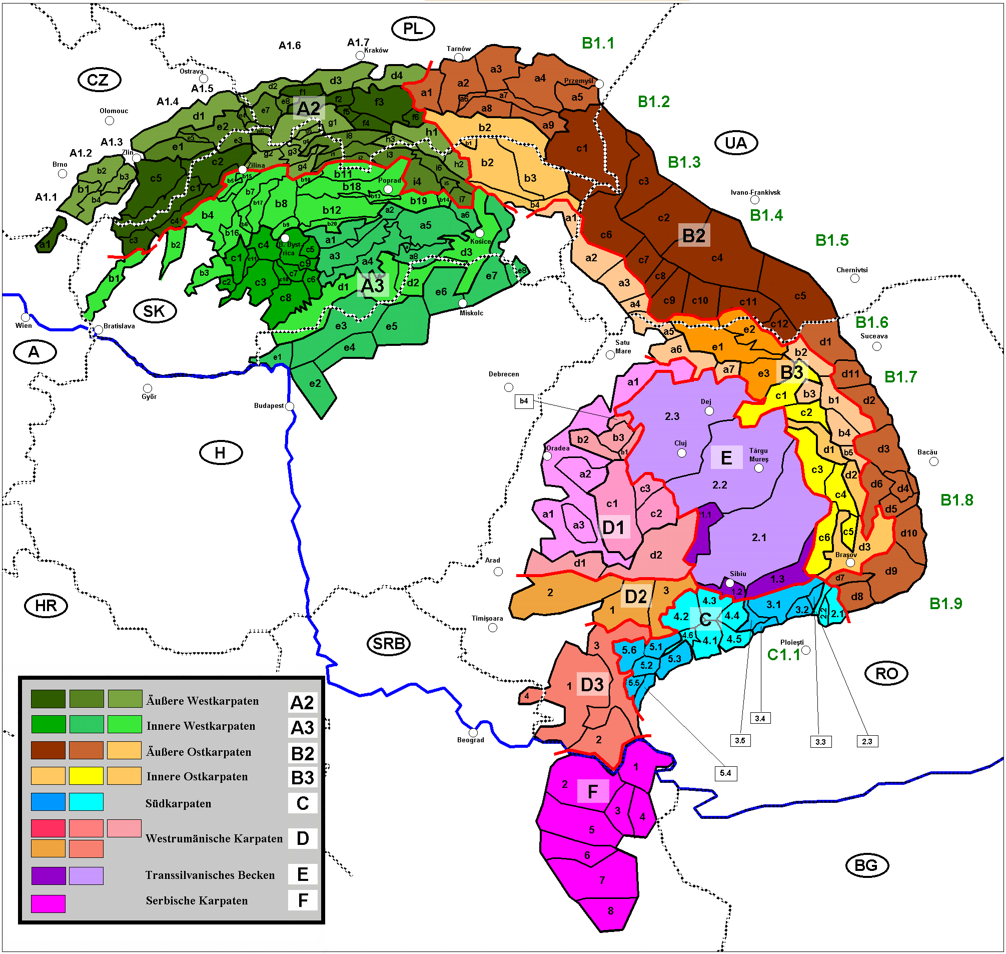
 Divisions of the Carpathians. The Doły (Pits)=a9+a8+a6+a7; part of the Outer Eastern Carpathians
The Doły Jasielsko-Sanockie[1], Latin: Regio Pedemontana[2] German: Sanoker Flachland (Jasielsko–Sanockie Valleys, Jasło and Sanok Valleys, the Jasło-Sanok Basin or Jasielsko-Sanockie Pits) is a mountain range stretching between the Wisłoka and San Rivers in the West Carpathian Plateau and Central Beskidian Piedmont in Poland. They reach up to 250–500 meters above sea level. The range is situated in the southern part of the Subcarpathian Voivodeship. It is the lowest mountain range of the Polish Carpathians.
They can be divided into: Gorlickie Depression, Jasielskie Plateau, Jasielsko – Krośnieńska Valley and Bukowskie Plateau. They stretch along a 100 km long and 18 km wide strip of land between Low Beskids in the south and heights of plateau in the north.
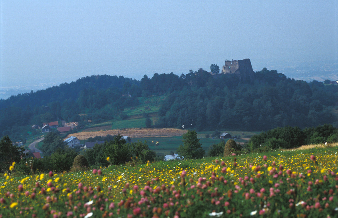
From the tourist point of view the region of Doły (Pits) is limited from the west by the valley of Ropa river, from the east by the Wisłok and San rivers, from the south by the Low Beskids line and from the north by a Dynowskie Plateau enclosed by the route of the national road No 28 ( from Zator to the national border in Medyka) on the section between Gorlice - Grybów - Biecz - Jasło - Krosno - Rymanów - Sanok. The highest summit on the side is Dział (678 m. high, above the sea level) in the Tabor and Czarny Potok rivers. In general mountains of the Doły are low with gentle slopes and long ridges with a flattened tops and domed summits, and only in some places are characterized by sharp downcasts. The height of summits varies from 350 to 650 m. above the sea level.
Contents
Settlement
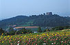
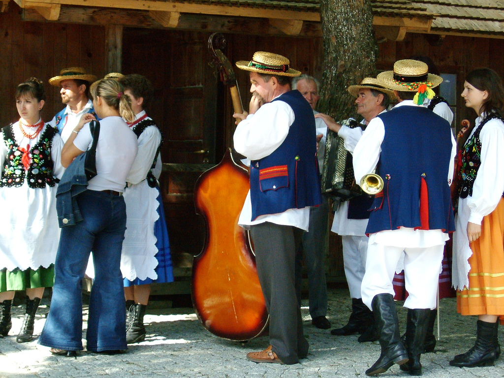
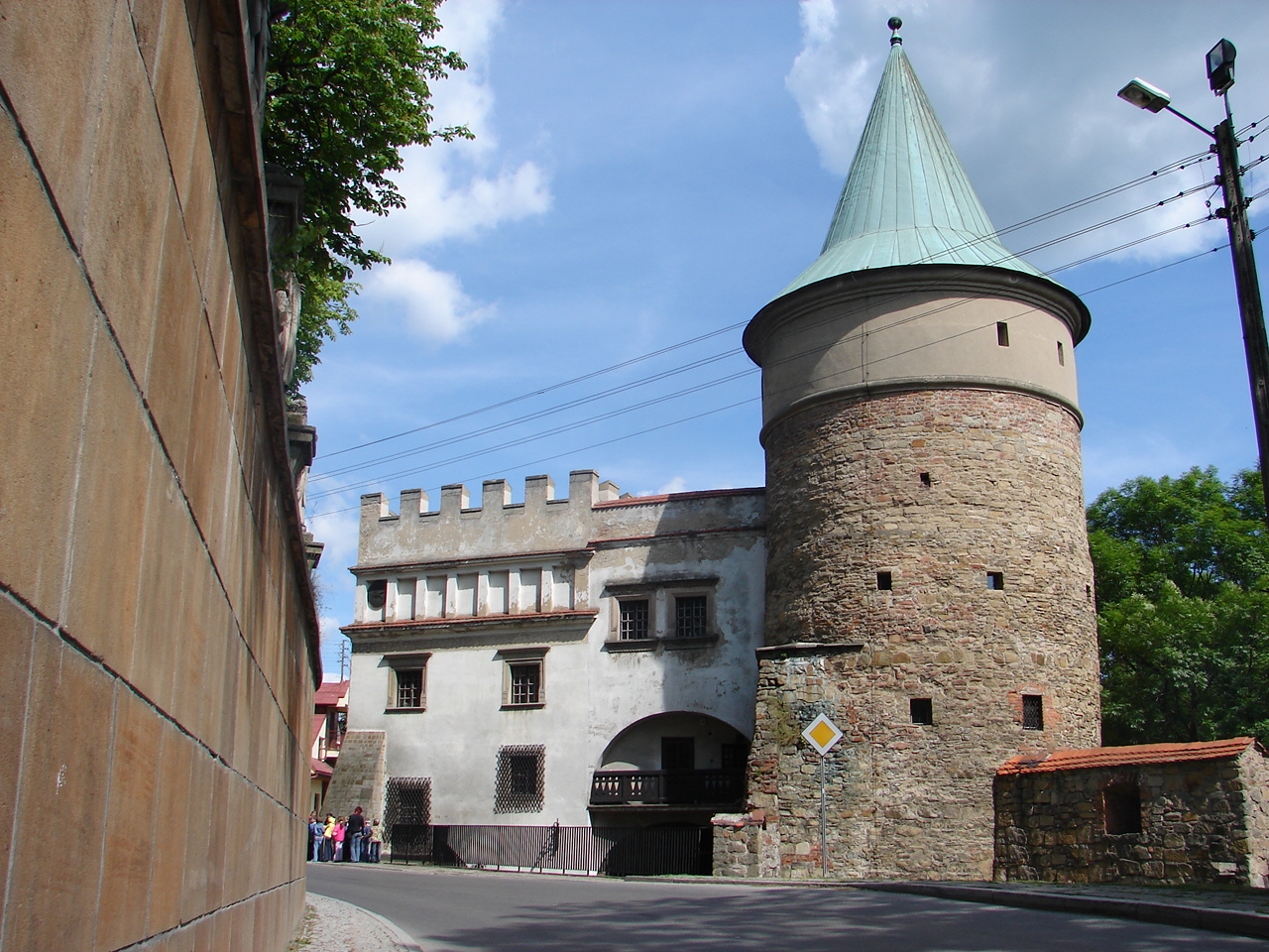
Important cities of this region include Biecz, Gorlice, Jasło, Krosno, Lesko, Brzozów, Jaćmierz, Rymanów, Brzozów, and Sanok.
History
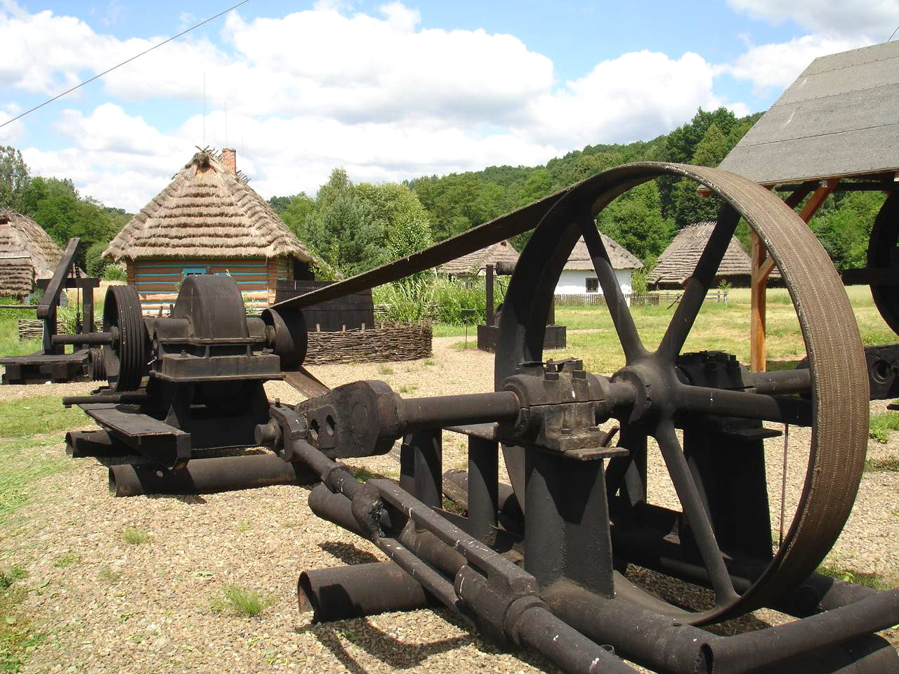
Main articles: Lendians, Great Moravia, Ostsiedlung, Walddeutsche, Galicia (Central Europe), Ruthenian Voivodeship, and Lwów VoivodeshipHistorical names ; Doły Sanockie (Sanockie Pits) or Podole Sanockie (Sanockie Podolia), it stretches between powiat Krosno, powiat Sanok and Brzozów in Galicia[3]. In 1854, the first oil field in the world started producing oil in village of Bóbrka near Krosno.
Division
Since there exist many variants of divisions of the mountain ranges and names for the Doły (Pits), several divisions are given in the following:
- Obniżenie Gorlickie
- Kotlina Jasielsko-Krośnieńską
- Pogórze Jasielskie
- Pogórze Bukowskie
Hiking trails
- European walking route E8
- Iwonicz-Zdrój – Rymanów-Zdrój - Puławy – Tokarnia (778 m) – Przybyszów – Kamień (717 m) – Komańcza (Główny Szlak Beskidzki)
- Pasmo Bukowicy - Kanasiówka (823 m) – Wisłok Wielki – Tokarnia (778 m), 1 km – Wola Piotrowa
Ethnic groups
Main article: Pogorzans


See also
References
Footnotes
- ^ Prof. Jerzy Kondracki. Geografia fizyczna Polski. Państwowe Wydawnictwo Naukowe. Warszawa. 1988. ISBN 83-01-02323-6
- ^ "Thus the region adjoining the Carpathians and extending to a line Tarnów–Rzeszów–Jarosław, the hithero almost uninhabited regio pedemontana was settled by German-speaking Silesians and soon abounded in large Waldhufendorfer with Frankish hides and in towns whose German names were in many case identical with place-names in Silesia (Landskron, Grunberg, [...] Göttinger Arbeitskreis. Eastern Germany. Holzner-Verlag, 1961. p. 79.; "Vorgebirgslandschaften infolge der hautigen Einfällen der Litauer verwünstet und leer antraf, siedelte er Leute des deutsches Volkes in jenen Gebieten an, die auch heute noch in den Dörfern um Przeworsk, Przemyśl, Sanok und Jarosław wohnen und, wie ich selbst gesehen habe, ausgezeichnete Landwirte sind. Noch in der Gegenwart werden die Bewohner der alten regio pedemontana, von ihren Nachbarn als "Głuchoniemcy" (Walddeutsche) bezeichner [...]". [in:] Katharine Bechtloff. Julius Krämer. Hilfskomitee der Galiziendeutschen. Heimat Galizien. 1965.
- ^ Słownik geograficzny Królestwa Polskiego, tom III, 1876, [in:] Karpaty, page 870
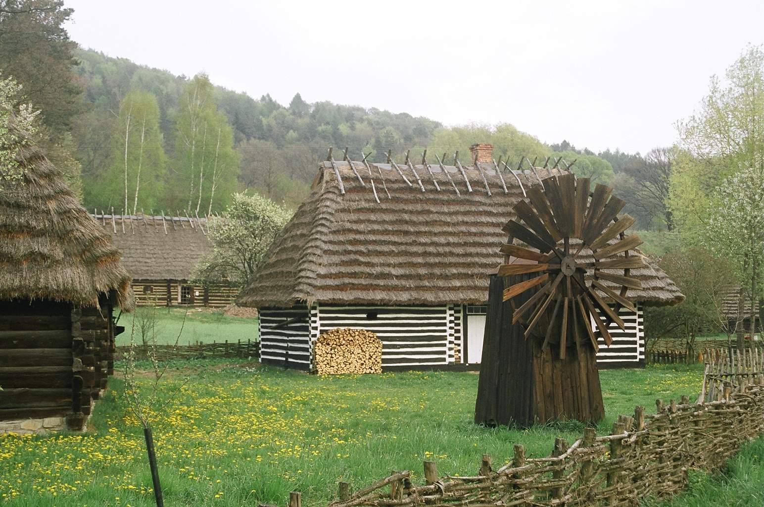
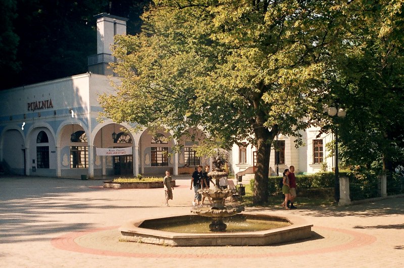
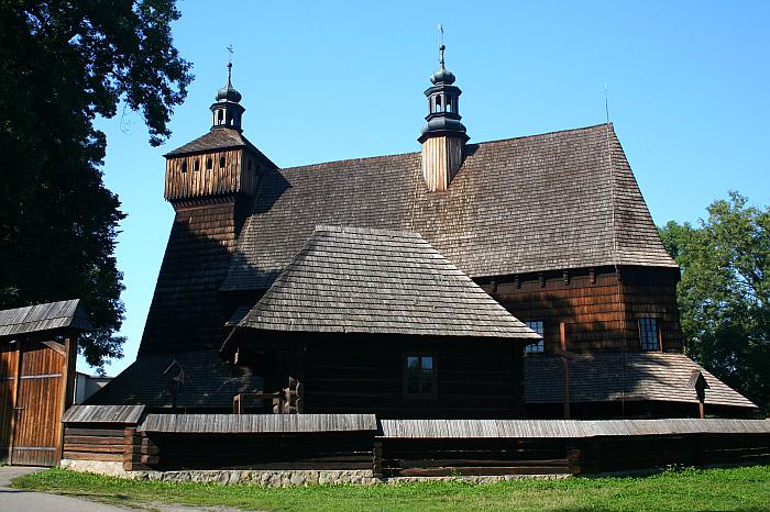
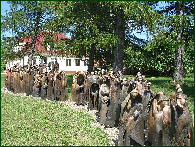
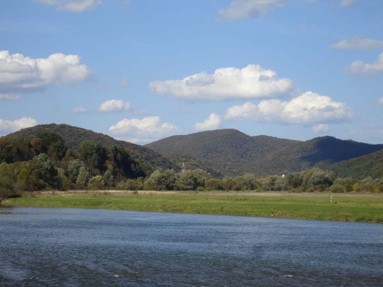
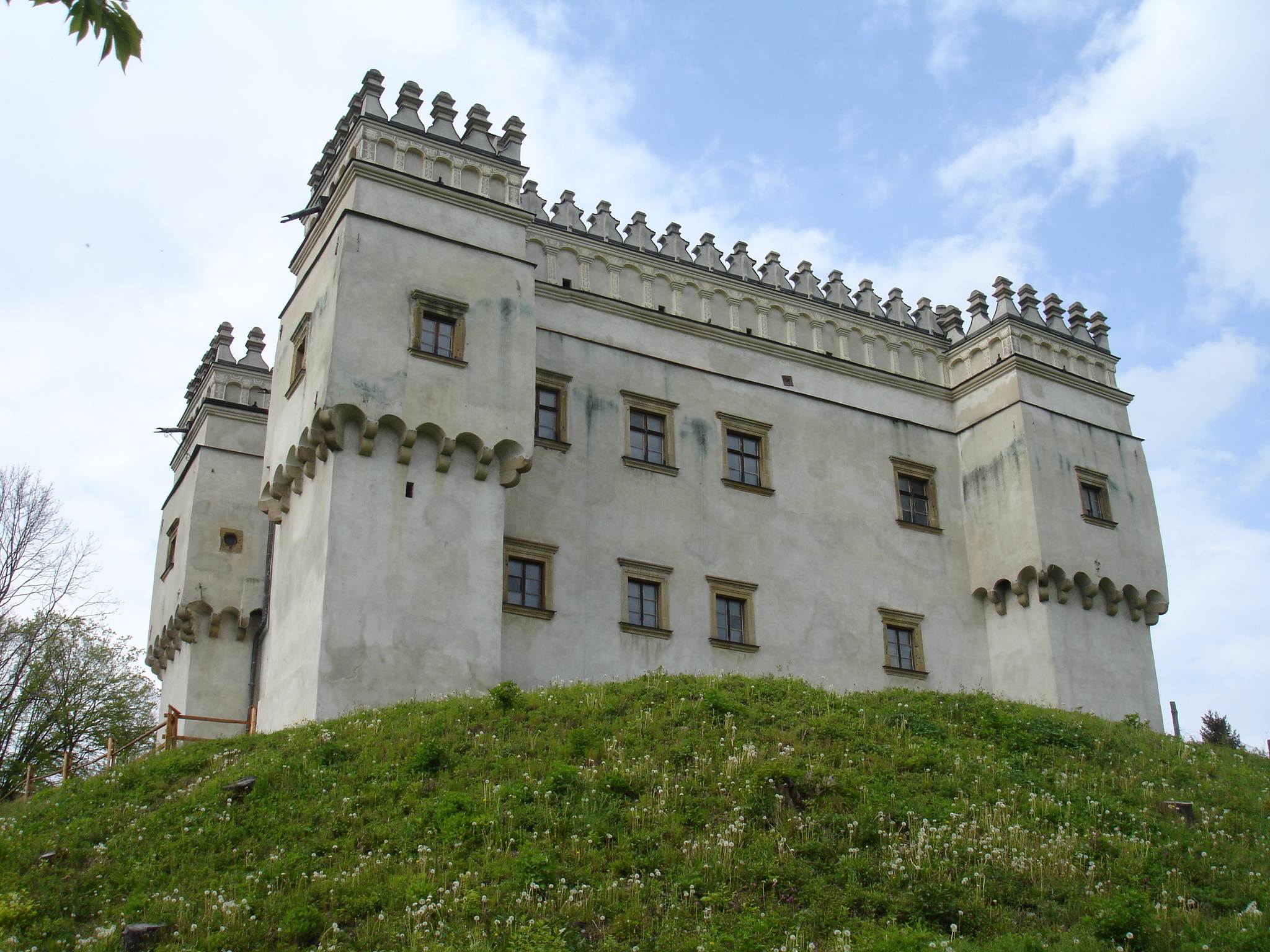
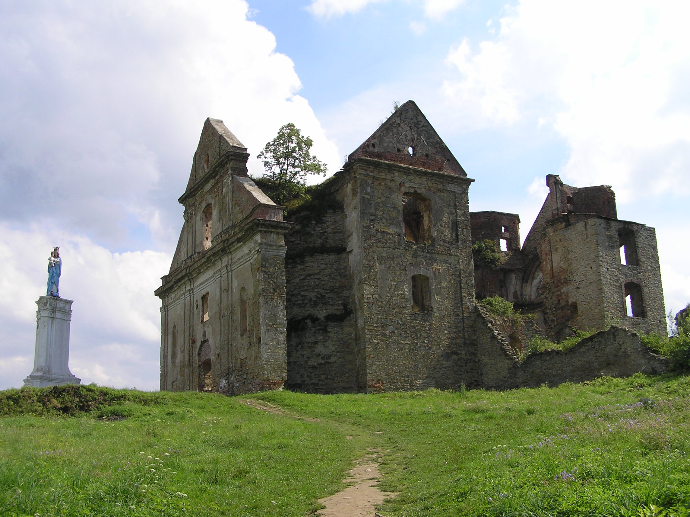
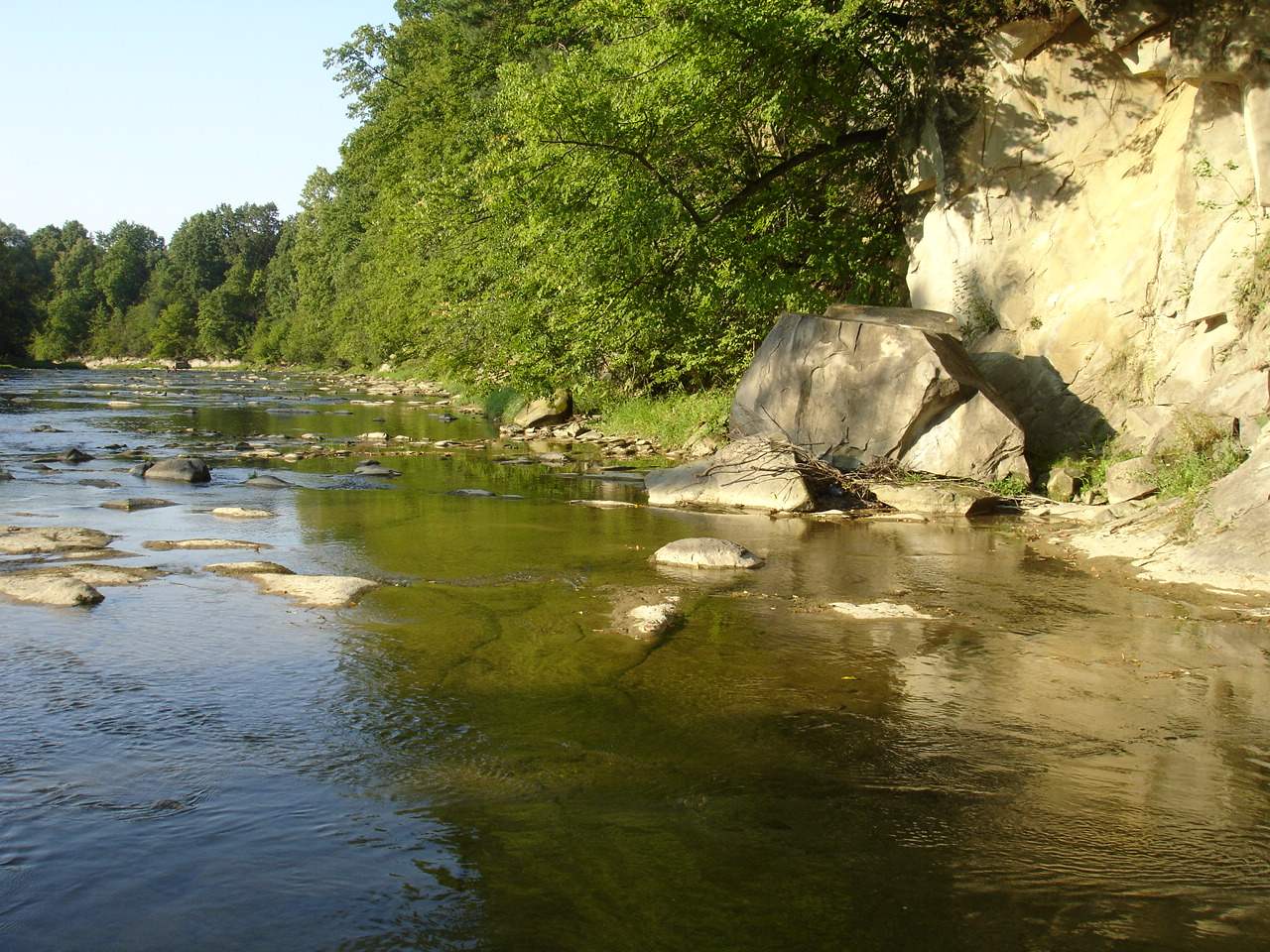
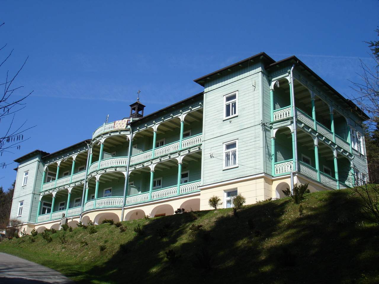
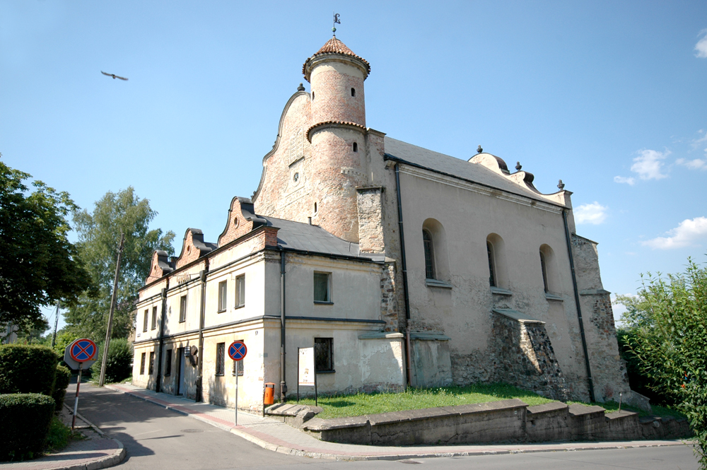
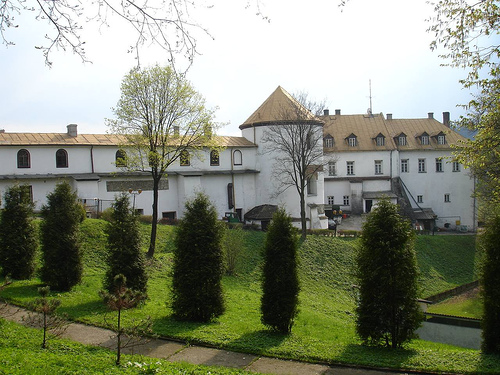
Rural landscape pictures


 Categories:
- Tourism in Poland
- Podkarpackie Voivodeship
- Mountain ranges of the Eastern Carpathians
- Mountain ranges of Poland


Wikimedia Foundation. 2010.