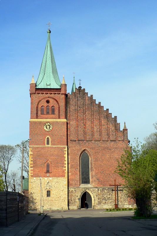
- Zator
Infobox Settlement
name = Zator

image_caption = St. Wojciech and St. George church in Zator (1393)
image_shield = POL Zator COA.svg
pushpin_
pushpin_label_position = bottom
subdivision_type = Country
subdivision_name = POL
subdivision_type1 = Voivodeship
subdivision_name1 = Lesser Poland
subdivision_type2 = County
subdivision_name2 = Oświęcim
subdivision_type3 =Gmina
subdivision_name3 = Zator
leader_title = Mayor
leader_name = Zbigniew Biernat
area_total_km2 = 11.53
population_as_of = 2006
population_total = 3726
population_density_km2 = auto
timezone = CET
utc_offset = +1
timezone_DST = CEST
utc_offset_DST = +2
latd = 49 | latm = 59 | lats = 47 | latNS = N | longd = 19 | longm = 26 | longs = 17 | longEW = E
elevation_m = 239
postal_code_type = Postal code
postal_code = 32-640
blank_name = Car plates
blank_info = KOS
website = http://www.zator.plZator [IPA-pl|'|z|a|t|o|r] is an old town (pop. 3,779 in
2006 ) in southernPoland , inLesser Poland Voivodeship (since 1999), previously inBielsko-Biała Voivodeship (1975-1998).Town rights since1292 .External links
* [http://www.zator.pl/ Serwis Internetowy Miasta i Gminy Zator]
Wikimedia Foundation. 2010.

