- D6 road (Croatia)
-
D6 state road
Route information Length: 134.5 km (83.6 mi) Major junctions From:  Jurovski Brod border crossing to Slovenia
 D1 in Karlovac
 D3 in Karlovac
 D216 in Vojnić
 D37 in Glina
 D47 in Dvor
To: Dvor border crossing to Bosnia and HerzegovinaLocation Counties: Karlovac, Sisak-Moslavina Major cities: Karlovac, Vojnić, Glina, Dvor Highway system State roads in Croatia
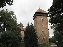 Karlovac, on the D6 road route
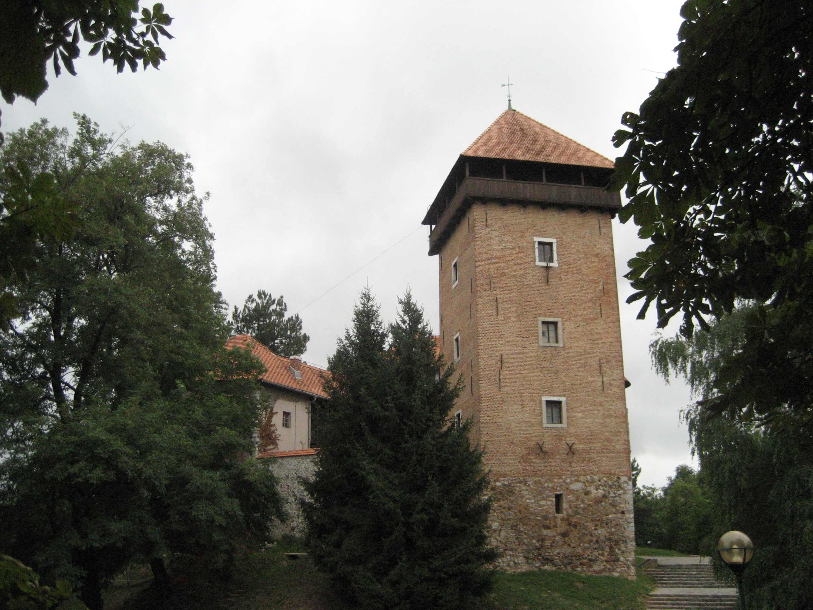
 Topusko, in immediate vicinity of the D6 road
D6 is a state road in central parts of Croatia connecting Jurovski Brod border crossing to Slovenia and Dvor border crossing to Bosnia and Herzegovina via Karlovac, Vojnić, Glina and Dvor. The road also serves as a connection to the A1 motorway Karlovac interchange via the D1 state road in Karlovac.[1] The road is 134.5 km (83.6 mi) long.[2]
The road, as well as all other state roads in Croatia, is managed and maintained by Hrvatske ceste, a state-owned company.[3]
Contents
Traffic volume
Traffic is regularly counted and reported by Hrvatske ceste, operator of the road.[4]
D6 traffic volume Road Counting site AADT ASDT Notes  D6
D61801 Jurovski Brod 2,777 3,259 Between Jurovski Brod border crossing and the Ž3098 junction. D61802 Ribnik 2,777 3,259 Adjacent to the L34023 junction. D63108 Okić 2,202 2,954 Adjacent to the L34094 junction. D63102 Gvozd 1,579 2,257 Adjacent to the Ž3186 junction. D63206 Maja 466 552 Adjacent to the Ž3237 junction. D63210 Trgovi 382 390 Adjacent to the Ž3234 junction. Road junctions and populated areas
D6 junctions/populated areas Type Slip roads/Notes 
Jurovski Brod border crossing to Slovenia
 Slovenian route 105 to Metlika, Slovenia.[5]
The northern terminus of the road.
Jurovski Brod
Ž3098 to Kamanje and Ozalj.
L34023 to Brihovo Ž3140 to Pravutina Ribnik Jarnevići Netretić
Ž3141 to Vukova Gorica (D3).Bajakovo Brdo Donje Stative
Ž3142 to Novigrad and Jarče Polje (D3).
Ž3144 to Mali Erjavec.Ž3145 to Zadobarje and Tomašnica. Borlin
Ž3147 to Donja Jelsa and Donje Pokupje.

Karlovac
D1 and
D3 to Jastrebarsko and A1 motorway Karlovac interchange (to the north). The D1 and D3 roads are concurrent to the north of their junction with the D6 (to the north) and all three are concurrent to the south of their junction in Karlovac. Another D3 junction is located further south within the city of Karlovac, where the D3 road concurrency ends as the D3 diverges towards Delnice. The D1/D3/D6 junction represents location where the westbound D6 traffic enters Karlovac urban expressway.
Ž3179 to Zagradci and Novigrad.
Ž3185 to Barilović, Perjasica and Generalski Stol.The southern terminus of dual carriageway expressway through Karlovac. Mostanje
Ž3148 to Selce (D36).Turanj
Ž3186 to Skakavac, Gvozd and Perna.Cerovac Vukmanički
Ž3187 to Vukmanić and Skakavac.
Ž3188 to Ladvenjak.Tušilović Brezova Glava
D1 to Plitvice Lakes National Park, Korenica and Knin (to the south). The D1 and D6 roads to the north are concurrent.L34094 to Zimić Okić Živković Kosa Knežević Kosa Vojnić
D216 to Kolarić and Maljevac border crossing to Bosnia and Herzegovina.Crevarska Strana Gvozd Blatuša
Ž3152 to Bović, Lasinja and the D36 state road.Donja Čemernica Ž3229 to Topusko, Katinovac and Maljevac (D216). Šatornja Ž3227 to Topusko.  D31 to Gornji Viduševac and Velika Gorica (D30).
Glina
D37 to Petrinja and Sisak (D36).
Ž3223 to Donji Viduševac, Dvorišće and Hađer.
Ž3231 to Veliki Obljaj and Bosanska Bojna border crossing to Bosnia and Herzegovina.Ž3232 to Majske Poljane. Maja Ž3234 to Veliki Šušnjar, Miočinovići and Donja Stupnica. The road loops from the D6 road and back forming two intersections. Ž3237 to Bijele Vode. Dragotina
Ž3238 to Mali Gradac.Donji Žirovac Komora Gvozdansko Trgovi Grmušani Vanići Ž3262 to Donji Javoranj. Dvor
D47 to Hrvatska Kostajnica, Hrvatska Dubica, Novska and Lipik (D5).Matijevići Dvor border crossing to Bosnia Herzegovina.[5]
The road extends to Novi Grad, Bosnia and Herzegovina.
The southern terminus of the road.Sources
- ^ "Regulation on motorway markings, chainage, interchange/exit/rest area numbers and names" (in Croatian). Narodne novine. April 24, 2003. http://www.mmpi.hr/UserDocsImages/nn-73-03-Pravilnik-oznacav-ac.htm.
- ^ "Decision on categorization of public roads as state roads, county roads and local roads" (in Croatian). Narodne novine. February 17, 2010. http://narodne-novine.nn.hr/clanci/sluzbeni/2010_02_17_410.html.
- ^ "Public Roads Act" (in Croatian). Narodne novine. December 14, 2004. http://narodne-novine.nn.hr/clanci/sluzbeni/2004_12_180_3130.html.
- ^ "Traffic counting on the roadways of Croatia in 2009 - digest" (in English). Hrvatske ceste. May 1, 2010. http://www.hrvatske-ceste.hr/WEB%20-%20Legislativa/brojenje-prometa/CroDig2009.pdf.
- ^ a b "Map of border crossings and customs office areas" (in Croatian). Customs Administration of the Republic of Croatia. March 6, 2008. http://www.carina.hr/CURH/Dokumenti/Globalni/Karta_Carinarnica_RH.pdf.
See also
- State roads in Croatia
- Hrvatske ceste
Categories:- State roads in Croatia
- Karlovac County
- Sisak-Moslavina County

Wikimedia Foundation. 2010.