- D21 road (Croatia)
-
D21 state road
Route information Part of 
Length: 80.1 km (49.8 mi) Major junctions From: Kaštel border crossing to Slovenia
 Slovenian G11
 A9 in Medaki, Vodnjan north and Vodnjan south interchanges
 D300 in Buje
 D44 in Ponte Porton
 D301 in Ponte Porton
 D302 near Baderna
 D303 near Svetvinčenat
To:  D400 in Pula
Location Counties: Istria Major cities: Pula, Vodnjan, Buje Highway system State roads in Croatia
 Vižinada, located on D21 route
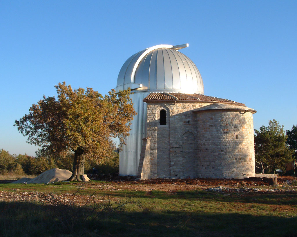
 Tičan observatory near Višnjan and D21 route
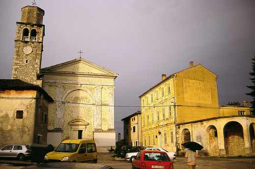
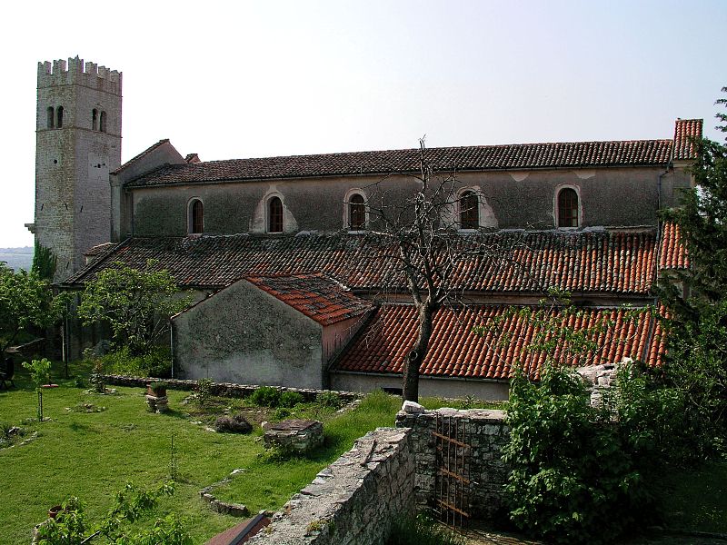
 Sveti Lovreč, located on D21 route
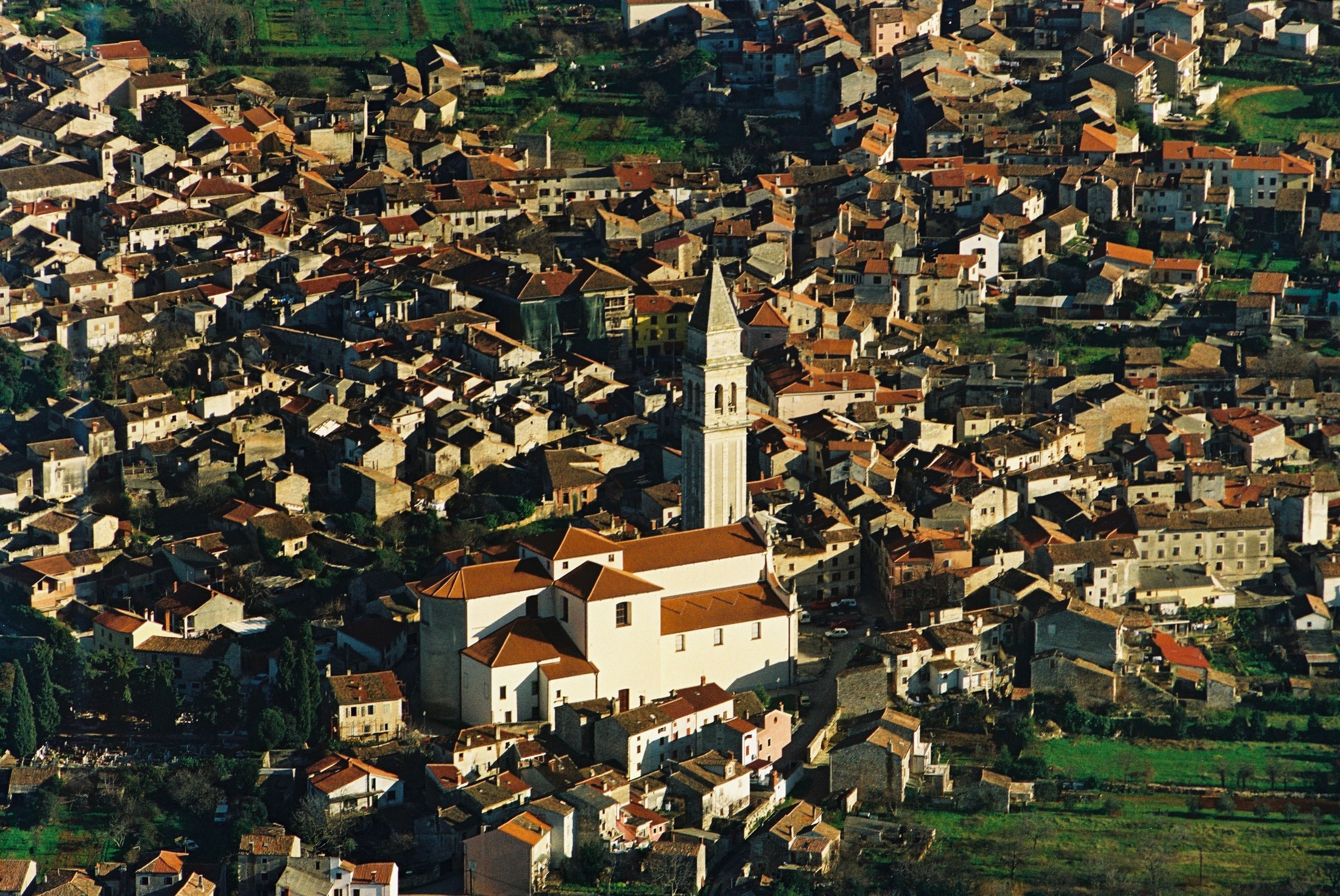
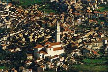 Vodnjan, located on D21 route
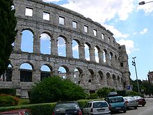 Pula, the southern extent of D21 route
D21 is a state road connecting the Kaštel border crossing and Buje, as well as A9 motorway via D510 state road. The road is 80.1 km (49.8 mi) long.[1]
The road provides connections to several towns and cities in central and western Istria, most notably to Grožnjan, Svetvinčenat and Pazin via roads connecting to D21.
Prior to construction of the A9 motorway, D21 was the main north-south road in the western Istria, and it was heavily congested in summer due to heavy tourist traffic and the fact that it served as the main connection for regular traffic in the area, passing through many settlements. Now it serves as a parallel road to the A9 motorway, as it is linked to virtually every interchange of the motorway by connecting roads of varying length, most notably D510, D200 and Ž5002 which serve, along the D21 state road, as the main connection of the A9 motorway and Slovenian road network - to route 11 and then towards H5 expressway to Koper, Slovenia and Trieste, Italy.[2][3]
The road, as well as all other state roads in Croatia, is managed and maintained by Hrvatske ceste, a state-owned company.[4]
Contents
Traffic volume
Traffic is regularly counted and reported by Hrvatske ceste, operator of the road.[5] Substantial variations between annual (AADT) and summer (ASDT) traffic volumes are attributed to the fact that the road connects a number of summer resorts to the Croatian motorway network.
D21 traffic volume Road Counting site AADT ASDT Notes D21 2702 Kaštel 1,807 2,805 Adjacent to Kaštel border crossing. 2707 Sveti Ivan 2,420 3,264 Adjacent to Ž5008 junction. 2719 Vižinada north 1,644 2,847 Between D44 and Ž5041 junctions. 2721 Baderna north 2,015 3,009 Adjacent to D48 junction. 2717 Bale 2,320 2,783 Between Ž5098 and Ž5096 junctions. 3905 Pula north 7,136 9,464 Between Ž5115 and Ž5117 junctions.
The site effectively counts traffic between D21 and D400.Major intersections
Listed settlements with no specified junctions contain intersections with non-categorized roads.
All intersections are located in Istria County, Croatia.km Location Junction Notes[6] 0 Kaštel border crossing G11Kaštel border crossing to Slovenia.[7]
Northern terminus of the road and of the European route E751; Northbound D21 traffic defaults to Slovenian G11 road1  D510
D510
E751Connection to A9 motorway Umag interchange and to Plovanija border crossing to Slovenia (via D200 state road); The D21 and the E751 north of the intersection are concurrent 3 Kaštel 5-6 Buje  D200
D200To Plovanija border crossing D300To A9 motorway and Umag  Ž5007
Ž5007To Šterna, Oprtalj and Karojba  Ž5008
Ž5008To Grožnjan 15 Bijele Zemlje 18 Ponte Porton D44To Buzet D301To A9 motorway Novigrad interchange and Novigrad 23 Vižinada  Ž5041
Ž5041To Brnobići 26 Ferenci 31 Žužići  Ž5042
Ž5042To Višnjan 34 Cvitani 38 Baderna  D48
D48To Pazin D302To A9 motorway Baderna interchange and Poreč. 45 Medaki interchange A9
E751Connection to the A9 motorway (E751) 47  Ž5002
Ž5002To Vrsar 52 D303To A9 motorway and Rovinj 58  Ž5098
Ž5098To Krmed and Svetvinčenat. 60 Bale  Ž5095
Ž5095To Rovinj 69 A9
E751The A9 at Vodnjan sjever (north) interchange, accessed via a short connecting road 70-72 Vodnjan 73 A9
E751The A9 at Vodnjan jug (south) interchange, accessed via a short connecting road 75  Ž5117
Ž5117To Galižana 76  Ž5115
Ž5115To Fažana, Barbariga and Brijuni National Park (access by boat)[8] 77-80 Pula D400To A9 motorway Pula interchange, D66 state road, Pula Airport and Pula ferry port
Southern terminus of the road1.000 mi = 1.609 km; 1.000 km = 0.621 mi
Concurrency terminus • Closed/Former • Incomplete access • UnopenedSources
- ^ "Decision on categorization of public roads as state roads, county roads and local roads" (in Croatian). Narodne novine. February 17, 2010. http://narodne-novine.nn.hr/clanci/sluzbeni/2010_02_17_410.html.
- ^ "Interchanges of the Y" (in English). May 15, 2010. http://www.bina-istra.com/Default.aspx?sid=1180.
- ^ "H5 Koper - Dragonja" (in Slovenian). May 14, 2010. http://www.dars.si/Dokumenti/Gradnja_-_nacrti_189.aspx.
- ^ "Public Roads Act" (in Croatian). Narodne novine. December 14, 2004. http://narodne-novine.nn.hr/clanci/sluzbeni/2004_12_180_3130.html.
- ^ "Traffic counting on the roadways of Croatia in 2009 - digest" (in English). Hrvatske ceste. May 1, 2010. http://www.hrvatske-ceste.hr/WEB%20-%20Legislativa/brojenje-prometa/CroDig2009.pdf.
- ^ "Regulation on motorway markings, chainage, interchange/exit/rest area numbers and names" (in Croatian). Narodne novine. May 6, 2003. http://narodne-novine.nn.hr/clanci/sluzbeni/305463.html.
- ^ "Map of border crossings and customs office areas" (in Croatian). Customs Administration of the Republic of Croatia. March 6, 2008. http://www.carina.hr/CURH/Dokumenti/Globalni/Karta_Carinarnica_RH.pdf.
- ^ "How to reach us" (in English). Brijuni National Park. June 8, 2010. http://www.brijuni.hr/en/Home.aspx?PageID=17.
See also
- Highways in Croatia
- Hrvatske ceste
- BINA Istra
External links
Categories:- State roads in Croatia
- Istria County


Wikimedia Foundation. 2010.