- D2 road (Croatia)
-
D2 state road
Route information Part of 
Length: 347.4 km (215.9 mi) Major junctions From:  Dubrava Križovljanska border crossing to Slovenia
 D35 in Nedeljanec
 D3 near Varaždin
 D528 near Varaždin
 D530 in Zamlaka
 D24 in Ludbreg
 D41 in Koprivnica
 D210 in Virje
 D43 in Đurđevac
 D5 near Virovitica
 D34 in Suhopolje, in Slatina and near Osijek
 D69 in Slatina
 D314 near Orahovica
 D53 near Našice
 D515 in Našice
 D517 in Koška
 A5 in Osijek interchange
 D7 near Osijek
 D518 near Osijek
 D213 near Osijek
 D55 in Borovo Naselje
 D519 in Borovo Naselje
 D57 in Vukovar
To: Ilok border crossing to SerbiaLocation Counties: Varaždin, Koprivnica-Križevci, Virovitica-Podravina, Osijek-Baranja, Vukovar-Srijem Major cities: Varaždin, Koprivnica, Virovitica, Našice, Osijek, Vukovar, Ilok Highway system State roads in Croatia
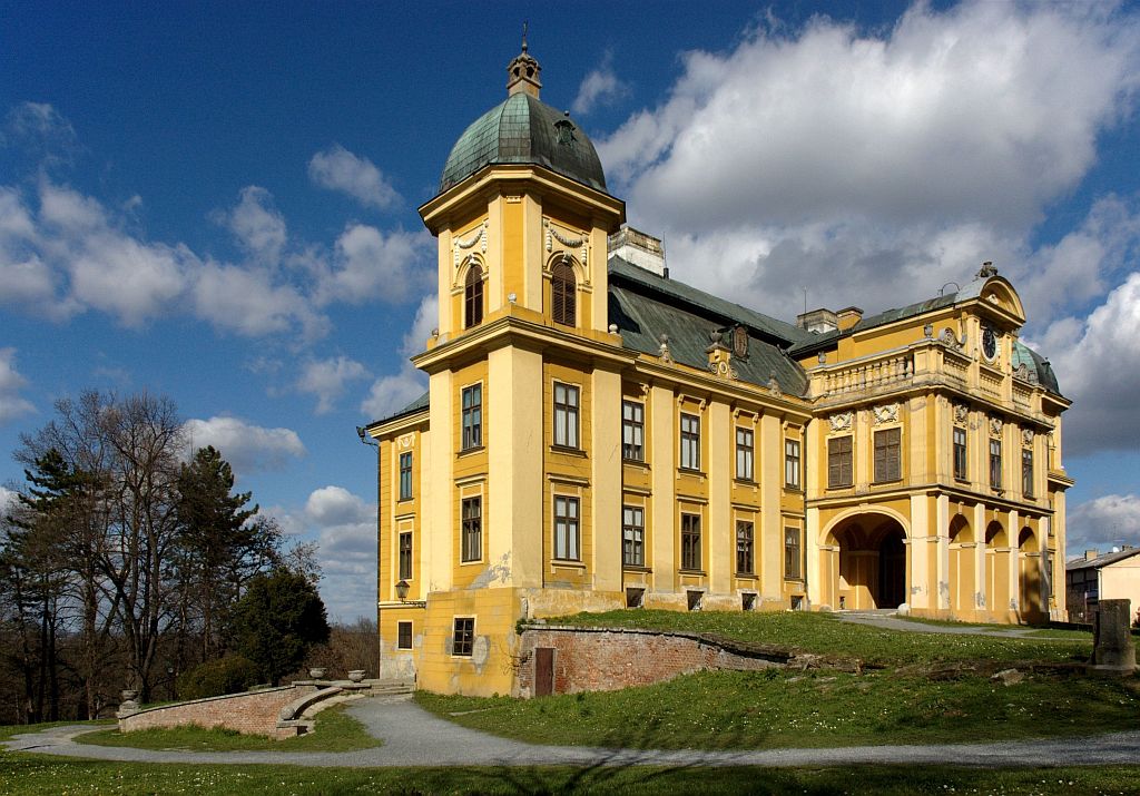
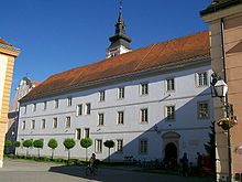 Varaždin, on the D2 road route
 Ludbreg, on the D2 road route
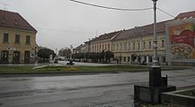 Koprivnica, on the D2 road route
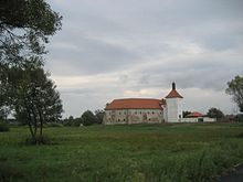 Đurđevac, on the D2 road route
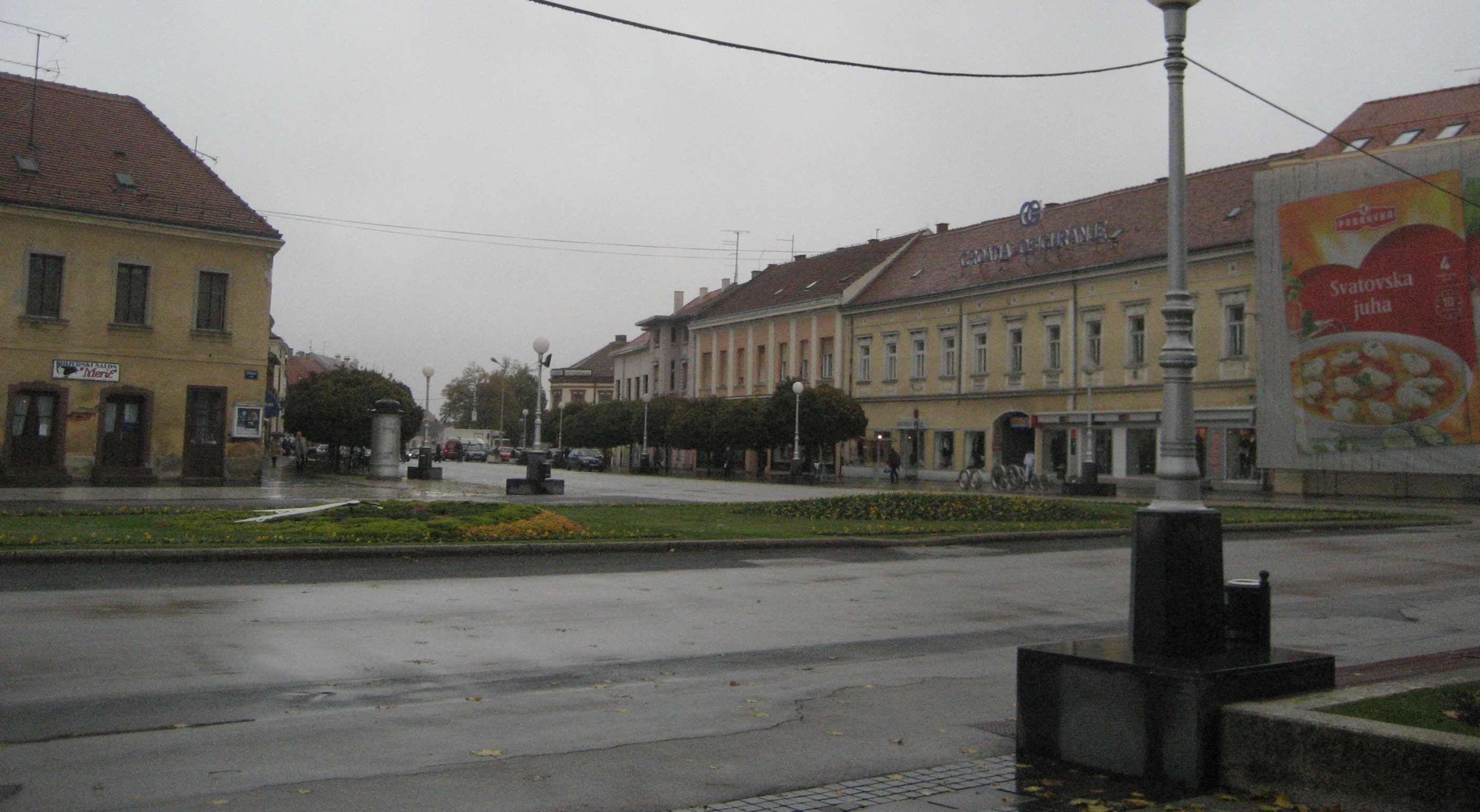
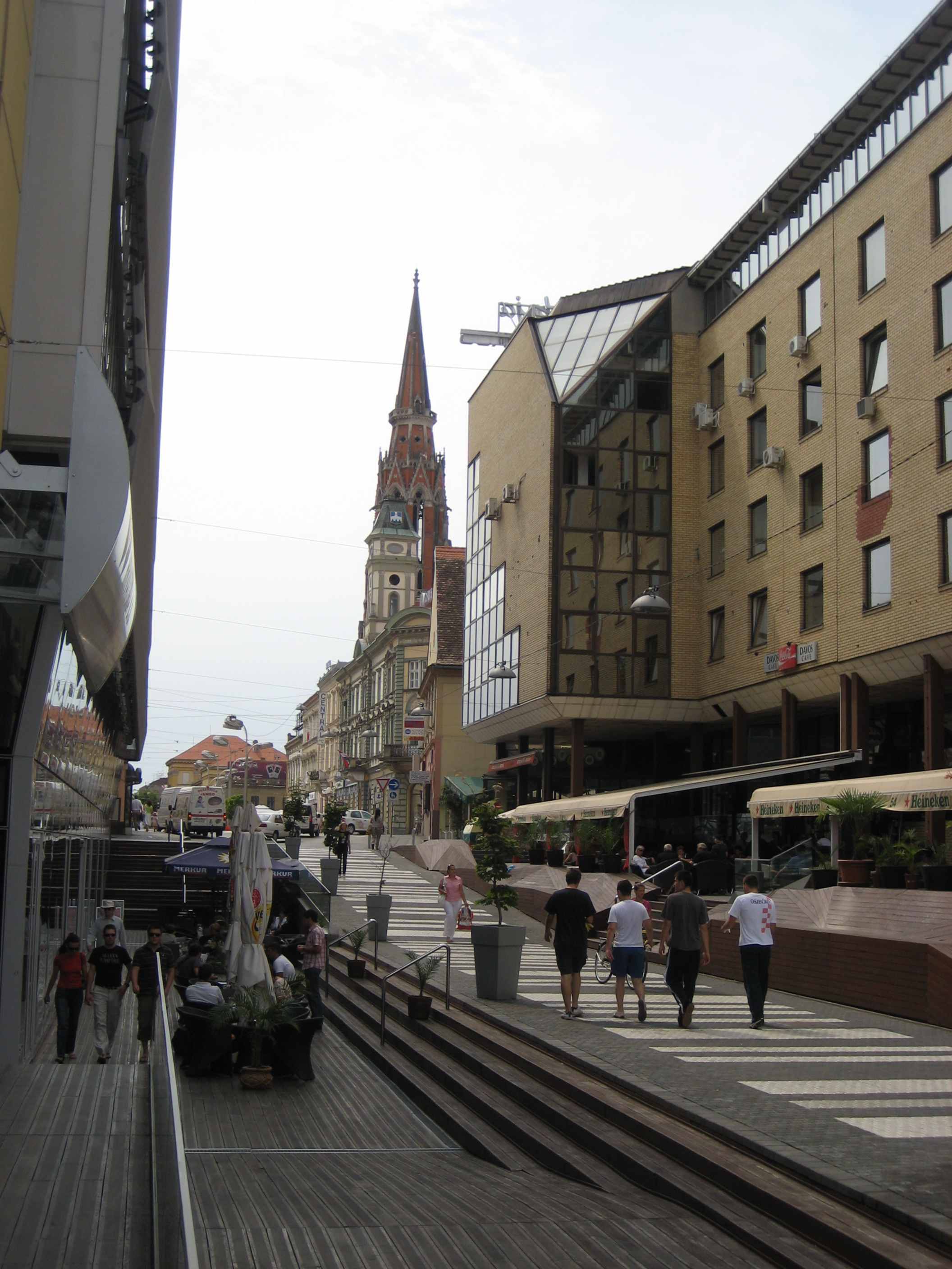
 Virovitica, on the D2 road route
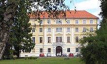
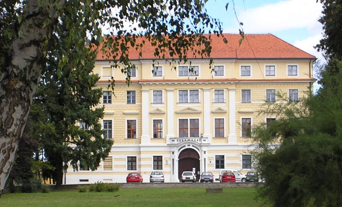
 Našice, on the D2 road route
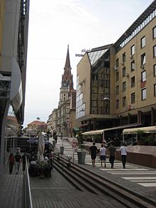 Osijek, next to the D2 road route
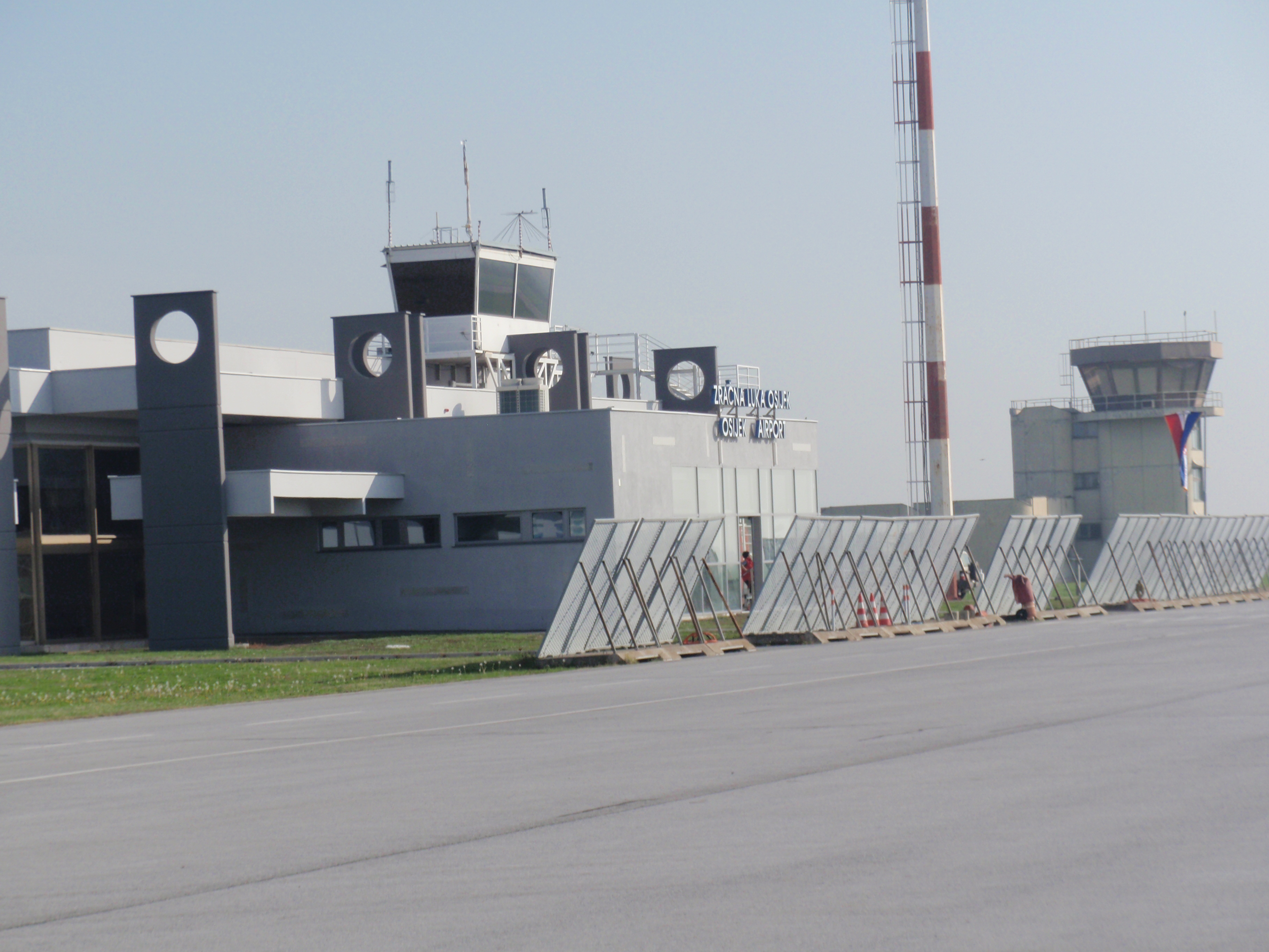
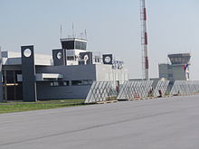 Osijek Airport, next to the D2 road route
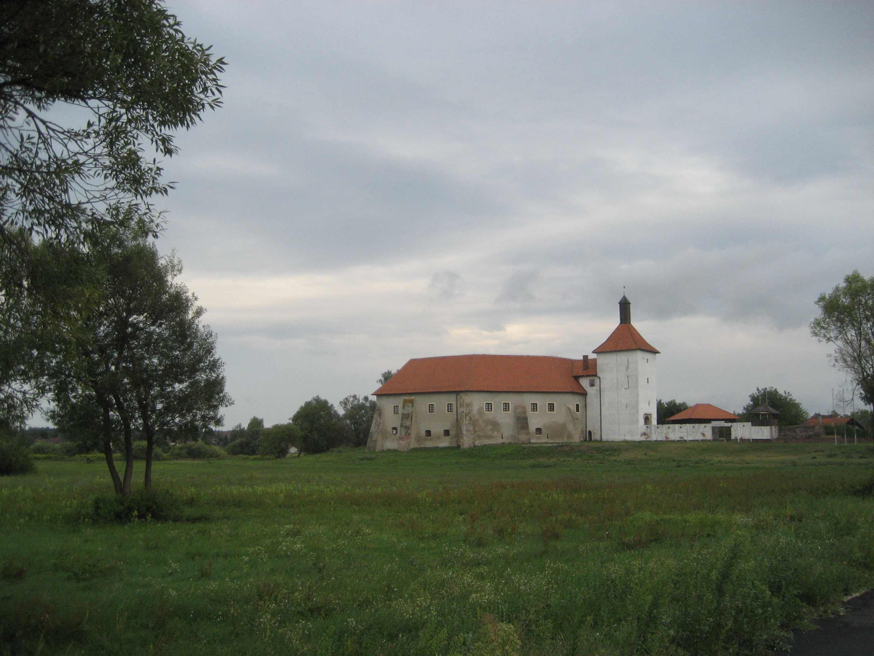
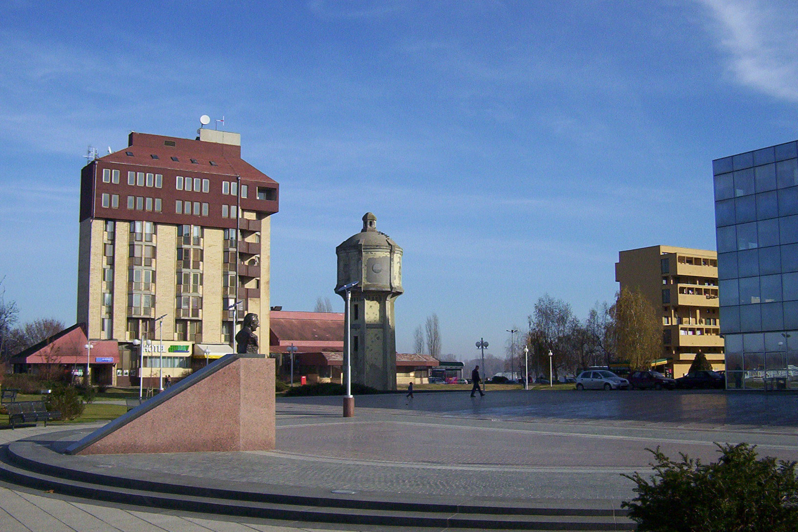
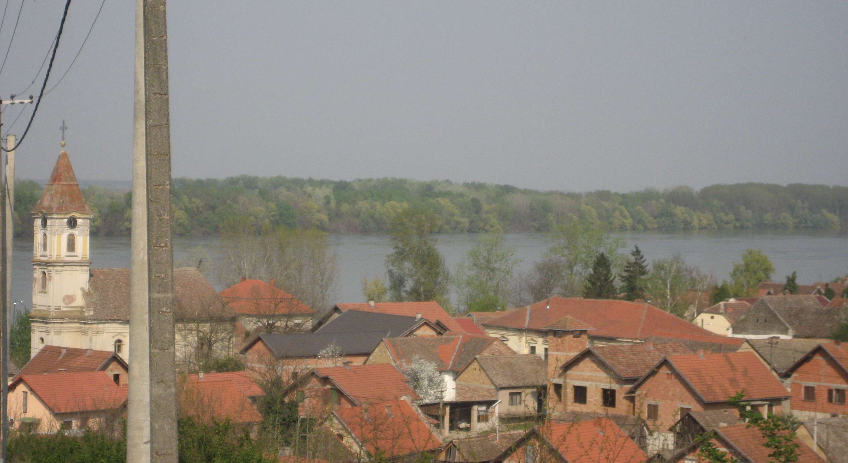
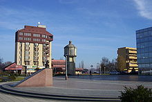 Vukovar, on the D2 road route
 Ovčara memorial centre, next to the D2 road route
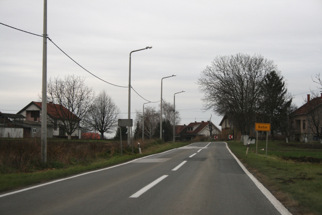
 Sotin, on the D2 road route
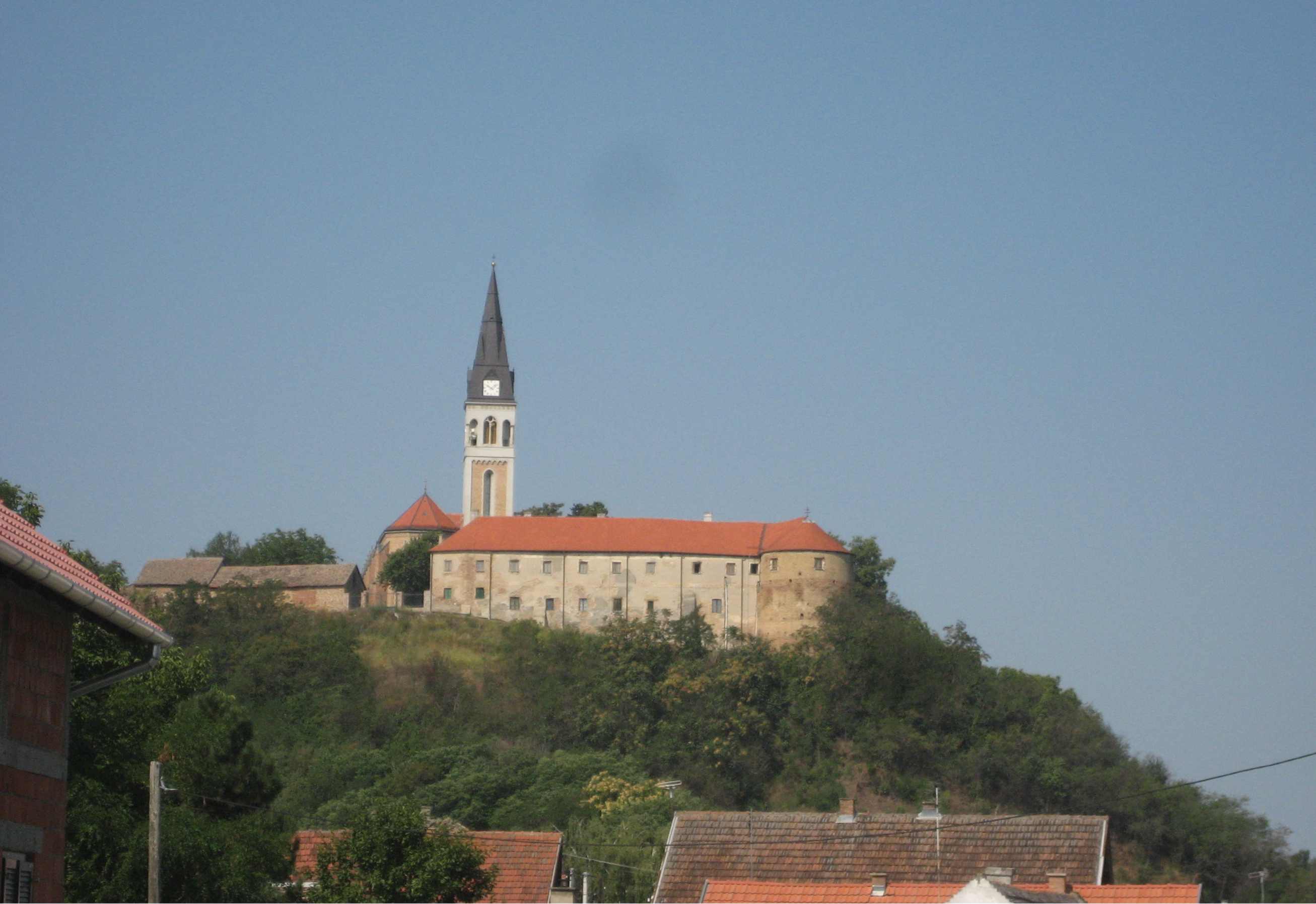
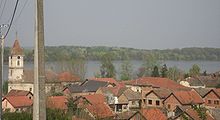 Šarengrad, on the D2 road route
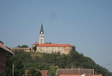 Ilok, at the eastern terminus of the D2 road
D2 state road (Croatian: Državna cesta D2) is a trunk state road in the northern areas of Croatia that spans from the border crossing with Slovenia at Dubrava Križovljanska[1] in the west via Varaždin, Koprivnica, Virovitica, Našice, Osijek, Vukovar, ending in Ilok at the border crossing with Serbia.[2][3] The road is 347.4 km (215.9 mi) long.[4]
Contents
Route description
Most of the D2 route runs parallel to the Drava River to the which is why it is often called Drava River valley highway (Croatian: Podravska magistrala). However, east of Osijek as the Drava River flows into the Danube, the D2 road follows that river to its eastern terminus near Ilok. The D2 road connects either directly or via short connectors to the A4 and A5 motorways at Varaždin and Ludbreg (A4) and Osijek (A5) interchanges.[5] The road is also parallel to the A3 motorway further to the south. As it does not reach the capital Zagreb nor shares designation with any of the major Pan-European corridors, it carries a more moderate volume of passenger and freight traffic, but it is still often used as an alternative to the tolled motorway. Two further connections of the D2 state road to Croatian motorway network are planned: to the A12 and A13 motorways near Koprivnica and Virovitica respectively.[6]
Parts of the D2 state road are used as southern bypass of Varaždin and Osijek and those sections of the road are more recently built than most of the route, as the D2 originally ran through the two cities.[7][8] As of 2007 there were plans to upgrade the Osijek southern bypass to an expressway by construction of an additional carriageway, especially since all junctions along the section are already grade separated.[9] In September 2011, the expansion construction works were formally opened: The works are scheduled to be completed in 30 months and they comprise an additional 12.1-kilometre (7.5 mi) carriageway, adaptation of the existing interchanges and construction of a new interchange along the section. The works comprise the D2 section between interchanges with the A5 motorway and the Ž4091 road.[10]
Most of the D2 road also runs parallel to railway tracks. Currently no parts of the D2 road have been upgraded to expressway standards. The planned A13 motorway is expected to intersect the D2 road near Virovitica, which is when major upgrades of the road are expected to commence.
The road, as well as all other state roads in Croatia, is managed and maintained by Hrvatske ceste, a state-owned company.[11]
Traffic volume
Traffic is regularly counted and reported by Hrvatske Ceste, operator of the road.[12] The most significant traffic volumes are recorded near Varaždin and Osijek as the D2 road serves as their southern bypass.
D2 traffic volume Road Counting site AADT ASDT Notes  D2
D21203 Dubrava Križovljanska 2,337 2,695 Adjacent to Dubrava Križovljanska border crossing. D21208 Majerje 8,013 8,388 Between the Ž2046 and Ž2037 junctions. D21235 Hraščica 3,091 3,352 Between the Ž2252 and D35 junctions. D21210 Varaždin - south 14,310 15,360 Between the Ž2068 and D3 junctions. D21209 Šemovec 4,784 4,885 Adjacent to the Ž2054 junction. D21307 Ludbreg - west 6,221 n/a Adjacent to the Ž2075 junction.
No AADT/ASDT data.Average daily traffic figure provided. D21308 Ludbreg - east 5,227 5,696 Adjacent to the D24 junction. D21403 Đurđevac 6,918 7,040 Adjacent to the Ž2247 junction. D22201 Kloštar 5,564 5,786 Adjacent to the Ž2185 junction. D22203 Virovitica 8,051 8,214 Adjacent to the Ž4024 junction. D22302 Cabuna 4,695 4,976 Adjacent to the L40034 junction. D22305 Čačinci - south 3,494 3,749 Between the Ž4063 and D314 junctions. D22408 Feričanci - east 3,962 4,120 Between the Ž4058 and Ž4075 junctions. D22407 Našice 4,994 5,460 Adjacent to the L44044 junction. D22406 Bizovac - west 3,832 4,371 Between the Ž4067 and Ž4060 junctions. D22508 Osijek bypass 18,009 17,427 Southern Osijek bypass (D2). D23701 Klisa airport - north 4,017 4,659 Adjacent to the D418 junction. D23801 Sotin 4,448 5,120 Adjacent to the Ž4152 junction. D23803 Ilok - west 2,084 3,552 Between the Ž4198 and Ž4200 junctions. Road junctions and populated areas
D2 junctions/populated areas Type Slip roads/Notes 
Dubrava Križovljanska border crossing to Slovenia.[3]
 Slovenian route 228 to Ptuj, Slovenia.
The western terminus of the road.
Dubrava Križovljanska Veliki Lovrečan
Ž2027 to Donja Voća.Brezje Dravsko
Ž2022 to Otok Virje.Babinec Križovljan Radovečki
Ž2035 to Natkrižovljan.Gornje Vratno 
Ž2036 to Strmec Podravski Petrijanec Majerje
Ž2046 to Nova Ves Petrijanečka.Sračinec
Ž2037 to Svibovec Podravski.Hrašćica
Ž2252 to Varaždin (D3).Nedeljanec
D35 to Lepoglava.
Ž2251 to Varaždin. D3 to Novi Marof (to the south). The D2 and D3 roads are concurrent to the north of the junction for approximately 5 km (3.1 mi).
D528 to the A4 motorway Varaždin interchange.[5]Varaždin
D3 to Čakovec (to the north). The D2 and D3 roads are concurrent to the south of the junction for approximately 5 km (3.1 mi).
Ž2252 to Hrašćica.Trnovec Bartolovečki
Ž2053 to Motičnjak and Zbelava.Bartolovec Štefanec Šemovec
Ž2054 to Jalžabet, Grešćevina and Tuhovec (D24).Ž2022 to Orehovica, Mala Subotica and Belica. Zamlaka
Ž2071 to Čičkovina, Hrženica and Ludbreg (D24). D530 to the A4 motorway Ludbreg interchange.[5]Vrbanovec
Ž2052 to Jalžabet, Kelemen, Zbelava and Varaždin.Sudovčina Donji Martijanec Križovljan
Ž2074 to D24 state road.Poljanec Ludbreg
D24 to Varaždinske Toplice and Novi Marof.
Ž2075 within the city.
Ž2076 to Sigetec Ludbreški and Sokolovac.Globočec Ludbreški Čukovec Bolfan Cvetkovec Subotica Podravska Kunovec Breg Koprivnica
D41 to Križevci (to the south) and to Drnje and Gola border crossing to Hungary (to the north).[3]
Ž2140 within the city.
Ž2141 within the city to the D41 state road.
Ž2142 to Herešin.
Ž2143 to Zrinski Topolovac and Novi Skucani.
Ž2144 to Stari Brežanec and to the D41 state road.
Ž2145 within the city.Ž2148 to Bakovčice. Štaglinec Novigrad Podravski
Ž2150 to Delovi.
Ž2182 to Donji Mosti and Kapela.Virje
D210 to Molve, Ždala and Gola (D41).
Ž2183 to Šemovci (D43).
Ž2236 to Miholjanec, Donje Zdjelice, Babotok and the D43 state road.Đurđevac
D43 to Bjelovar, Čazma and A3 motorway Ivanić Grad interchange.
Ž2213 to Budrovac and Sirova Katalena.
Ž2224 within the town.Budančevica
Ž2213 to Suha Katalena, Šandrovac and Bulinac (D28).Kloštar Podravski
Ž2185 to Ferdinandovac and Novo Virje.
Ž2234 to Dinjevac and Grabrovnica.Pitomača
Ž4001 to Dinjevac.
Ž4002 to Velika Črešnjevica, Velika Pisanica and the D28 state road.
Ž4006 to Turnašica and Velika Črešnjevica.Stari Gradac Ž4007 to Rogovac, Lukač and Gradina. Ž4008 to Bušetina. Lozan Špišić Bukovica
Ž4242 to Topolovica and Mali Grđevac.Korija D5 to Terezino Polje border crossing to Hungary[3] (to the north) and to Daruvar, Pakrac and to the A3 motorway Okučani interchange (to the south).Virovitica
Ž4249 to the D5 state road.
Ž4251 to the D5 state road.Čemernica Suhopolje
D34 to Daruvar (D5) (to the south). The D2 and D34 roads are concurrent to the east of this junction.
Ž4024 to Vaška, Sopje and Noskovci.Jugovo Polje Cabuna
L40034 to Žiroslavje.Ž4025 to Bakić, Gornji Miholjac and Novaki. Bistrica Donji Meljani Slatina
D34 to Donji Miholjac (D53) (to the north). The D2 and D34 roads are concurrent to the west of this junction.
D69 to Voćin and Kamensko (D38)
Ž4028 to Pivnice Slavonske (D34).Kozice Nova Bukovica Ž4045 to Brezik, Bjelkovac and Crnac. Bukovački Antunovac Mikleuš Ž4028 to Humljani and Slatinski Drenovac. Čačinci
Ž4062 to Bukvik. D314 to Orahovica.Ž4063 to Zdenci. Ž4072 to Dolci. Feričanci
Ž4058 to Bokšić and the D53 state road.Ž4075 to Vučjak Feričanački and Đurđenovac. Donja Motičina Ž4104 to Seona. Martin
D53 to Našice (to the south). The D2 and D53 roads are concurrent to the east of this junction.Ž4077 to Brezik Našički. D53 to Donji Miholjac (to the north). The D2 and D53 roads are concurrent to the west of this junction.Našice
D515 to Đakovo (D7).
L44044 to Velimirovac (D53).Jelisavac
Ž4078 to Lađanska.Breznica Našička Niza Ž4079 to Ledenik. Koška
D517 to Valpovo, Belišće and Beli Manastir (D7).
Ž4031 to Šljivoševci, Viljevo and the D34 state road.
Ž4080 to Budimci.
Ž4237 to Ordanja and Andrijevac.Normanci Topoline Cret Bizovački Bizovac
Ž4060 to Ladimirevci and the D517 state road.
Ž4067 to Brođanci and Čepinski Martinci.Samatovci  D34 to Donji Miholjac (D53).
Ž4068 to Josipovac, Višnjevac and Osijek.
The westernmost interchange of the southern Osijek bypass. A5 Osijek interchange to Đakovo and the A3 motorway Sredanci interchange.[5] D7 to Beli Manastir and Đakovo.Frigis interchange
Ž4084 to Osijek via Sv. Leopolda Mandića Street and to the Ž4068 road.Trpimirova interchange
D518 to Jarmina (D46).
Ž4257 to Osijek, Bilje, Darda and Švajcarnica (D7).Tenjska interchange
Ž4091 to Osijek and Tenja.Elektroslavonija interchange
Ž4088 to Osijek. D213 to Erdut.
 D417 to Port of Osijek and Nemetin.
The easternmost interchange of the southern Osijek bypass. D418 to Osijek Airport.
Klisa Trpinja Ž4125 to Lipovača. Borovo Naselje
D55 to Vinkovci and the A3 motorway Županja interchange.
D519 to Dalj (D213).Vukovar
D57 to Orolik, Nijemci and the A3 motorway Lipovac interchange.
Ž4137 to Bogdanovci and Nuštar (D55).
Ž4138 to the Ž4137 county road.Ž4151 to Vučedol. Ž4152 to Ovčara. Sotin
Ž4137 to Tovarnik (D46).Opatovac
Ž4137 to Lovas.Mohovo. Šarengrad
Ž4198 to Bapska and Lovas.Ilok
Ž4199 to Ilok II border crossing to Neštin, Serbia (Serbian route 107).[3]
Ž4200 within the town.Ilok border crossing to Serbia.[3]
 Serbian route 18 to Bačka Palanka, Vojvodina, Serbia.
The eastern terminus of the road.References
- ^ 46°23′11″N 16°03′20″E / 46.386411°N 16.05561°E
- ^ 45°13′01″N 19°25′06″E / 45.216852°N 19.418457°E
- ^ a b c d e f "Map of border crossings and customs office areas" (in Croatian). Customs Administration of the Republic of Croatia. March 6, 2008. http://www.carina.hr/CURH/Dokumenti/Globalni/Karta_Carinarnica_RH.pdf.
- ^ "Decision on categorization of public roads as state roads, county roads and local roads" (in Croatian). Narodne novine. February 17, 2010. http://narodne-novine.nn.hr/clanci/sluzbeni/2010_02_17_410.html.
- ^ a b c d "Regulation on motorway markings, chainage, interchange/exit/rest area numbers and names" (in Croatian). Narodne novine. April 24, 2003. http://www.mmpi.hr/UserDocsImages/nn-73-03-Pravilnik-oznacav-ac.htm.
- ^ "Press release: Podravina-Bilogora Y - A12 and A13 motorway sections" (in Croatian). Croatian Motorways Ltd. April 24, 2009. http://www.hac.hr/index.php?task=med&stask=1&idNews=00000002249&page=1.
- ^ "8 km long Varaždin bypass opens" (in Croatian). Dalje.com. November 21, 2007. http://dalje.com/hr-hrvatska/otvorena-varazdinska-zaobilaznica-duga-8-km/100153.
- ^ "Southwest Varaždin bypass opens" (in Croatian). Poslovni dnevnik. November 22, 2007. http://www.poslovni.hr/vijesti/otvorena-jugozapadna-obilaznica-varazdina-61440.aspx.
- ^ "Osijek bypass expansion to start by autumn" (in Croatian). Jutarnji list. April 17, 2007. http://www.jutarnji.hr/na-jesen-dogradnja-juzne-obilaznice/170740/.
- ^ "Kosor: Ovo je definitivno godina u kojoj smo izašli iz krize [Kosor: This is definitely the year the crisis ended]" (in Croatian). Novi list. September 4, 2011. http://www.novilist.hr/Vijesti/Hrvatska/Kosor-Ovo-je-definitivno-godina-u-kojoj-smo-izasli-iz-krize. Retrieved September 4, 2011.
- ^ "Public Roads Act" (in Croatian). Narodne novine. December 14, 2004. http://narodne-novine.nn.hr/clanci/sluzbeni/2004_12_180_3130.html.
- ^ "Traffic counting on the roadways of Croatia in 2009 - digest" (in English). Hrvatske Ceste. May 1, 2010. http://www.hrvatske-ceste.hr/WEB%20-%20Legislativa/brojenje-prometa/CroDig2009.pdf.
See also
- State roads in Croatia
- Hrvatske ceste
Categories:


Wikimedia Foundation. 2010.