- Nyoma
-
Nyoma — city — Coordinates 33°18′N 78°24′E / 33.3°N 78.4°ECoordinates: 33°18′N 78°24′E / 33.3°N 78.4°E Country India State Jammu and Kashmir District(s) Leh Time zone IST (UTC+05:30) Nyoma Rap or Nyama (also spelled Neoma) is a town in Leh District, Jammu and Kashmir in northern India.[1] There is an Advanced Landing Ground of Indian Airforce, which is proposed to be reactivated. An AN 32 landed in this airfield after which it was opened in 18 September 2009.[2][3] Nearby towns are Mahe and Rupshu, the town lies in the Leh - Loma - Hanle road. It lies in the banks of Indus River.
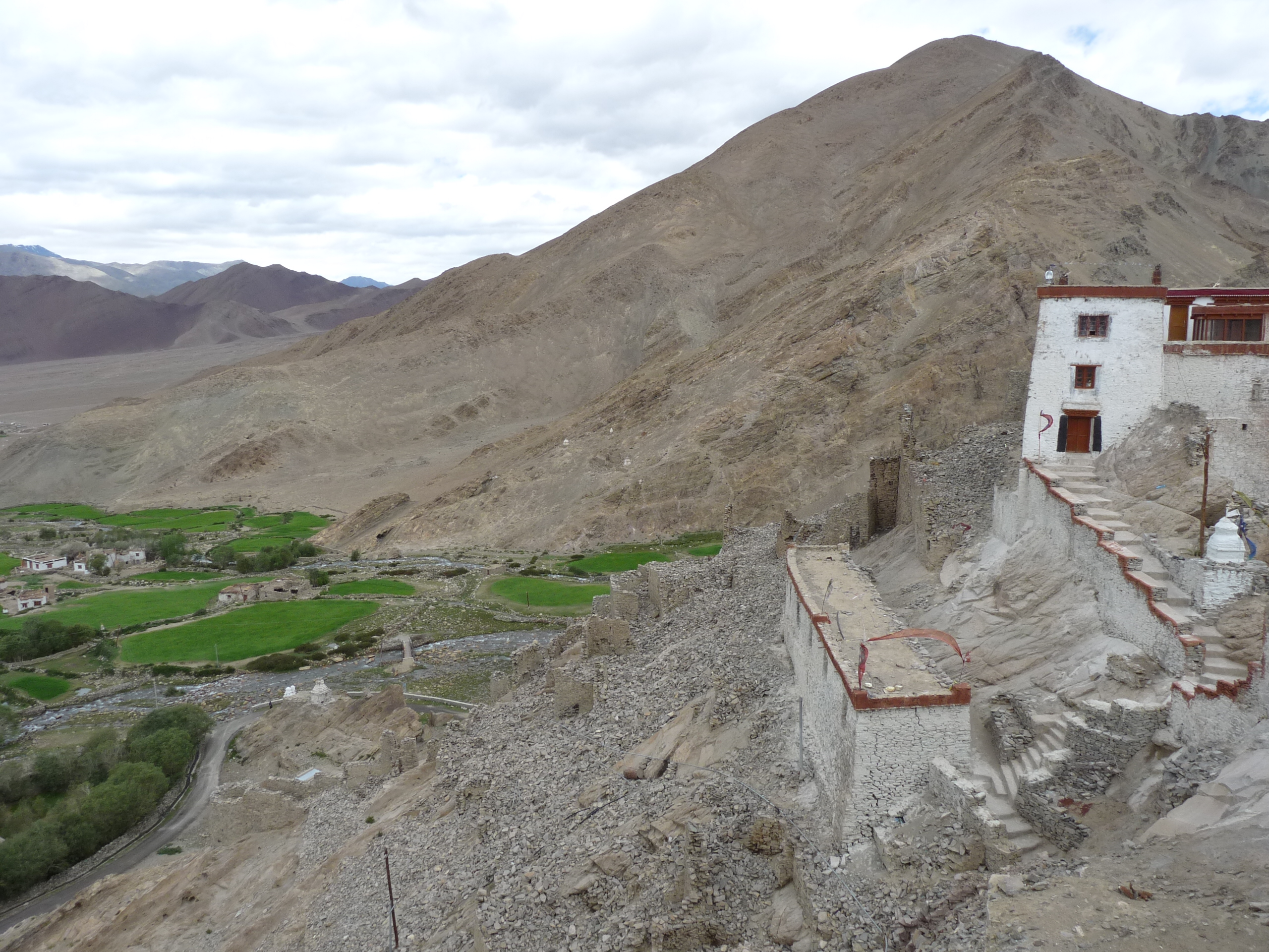
 Nyoma's setting as seen from the gompa (Buddhist monastery)
Since 2010 foreign tourists with inner line permits are permitted to visit Nyoma which has a small Buddhist monastery on the hill at the back of the town.
References
Ladakh Passes Khardung La · Sasser Pass · Karakoram Pass · Lachulung La · Tanglang La · Chang la · Marsimik La · Rezang La · Zoji La · Pensi La · Shingo LaValleys Cities and Towns Rivers, glaciers and lakes Sutlej · Beas · Ravi · Shyok · Chenab · Indus · Zanskar · Tsarap · Doda River · Suru River · Markha River
Siachen Glacier · Drang-drung · Rimo
Tso Moriri · Pangong TsoMonasteries Alchi · Bardan · Basgo · Chemrey · Diskit · Hanle · Hemis · Hundur · Korzok · Karsha · Lamayuru · Likir · Lingshed · Mashro · Matho · Mulbekh · Namgyal Tsemo · Phugtal · Phyang · Rangdum · Rizong · Sani · Sankar · Saspul · Shey Monastery · Spituk · Stakna · Stok · Stongdey · Takthok · Thikse · Tonde · Wanla · Zangla · ZongkulSee also History of Ladakh · Shanti Stupa · Leh-Manali Highway · Lahaul and Spiti · Tourism in Ladakh · Ladakhi language · Wildlife of Ladakh · * Curious BRO Roadsigns · * Geography of Ladakh · Saltoro Kangri · More plainsCategories:- Indian Air Force bases
- Villages in Leh district


Wikimedia Foundation. 2010.