- Cheswick, South Gloucestershire
-
For the village in Northumberland, see Cheswick.
Coordinates: 51°29′53″N 2°33′36″W / 51.498°N 2.56°W
Cheswick 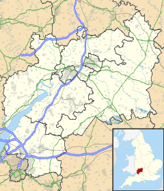
 Cheswick
Cheswick shown within GloucestershireUnitary authority South Gloucestershire Ceremonial county Gloucestershire Region South West Country England Sovereign state United Kingdom Post town BRISTOL Postcode district BS34 Dialling code 0117 Police Avon and Somerset Fire Avon Ambulance Great Western EU Parliament South West England UK Parliament Filton and Bradley Stoke List of places: UK • England • Gloucestershire Cheswick is a new village in South Gloucestershire on the fringes of Bristol. Construction started in 2008[1] and is expected to be completed in 2015 with a total of 1800 houses. It is located slightly north of Lockleaze and East of Filton. It is surrounded by MOD, Hewlett Packard offices and University of the West of England. Prior to construction the land was part of Wallscourt farm and Hewlett Packard. It has houses being constructed by Redrow Homes and a local housing association Somer Housing Group. The structure of the village consists of a long central road called Long Down Avenue with a central village square to be constructed.
References
Categories:- South Gloucestershire geography stubs
- Villages in South Gloucestershire
- Districts of Bristol

Wikimedia Foundation. 2010.