- Cheswell, Shropshire
-
Coordinates: 52°45′15″N 2°24′50″W / 52.7543°N 2.4140°W
Cheswell 
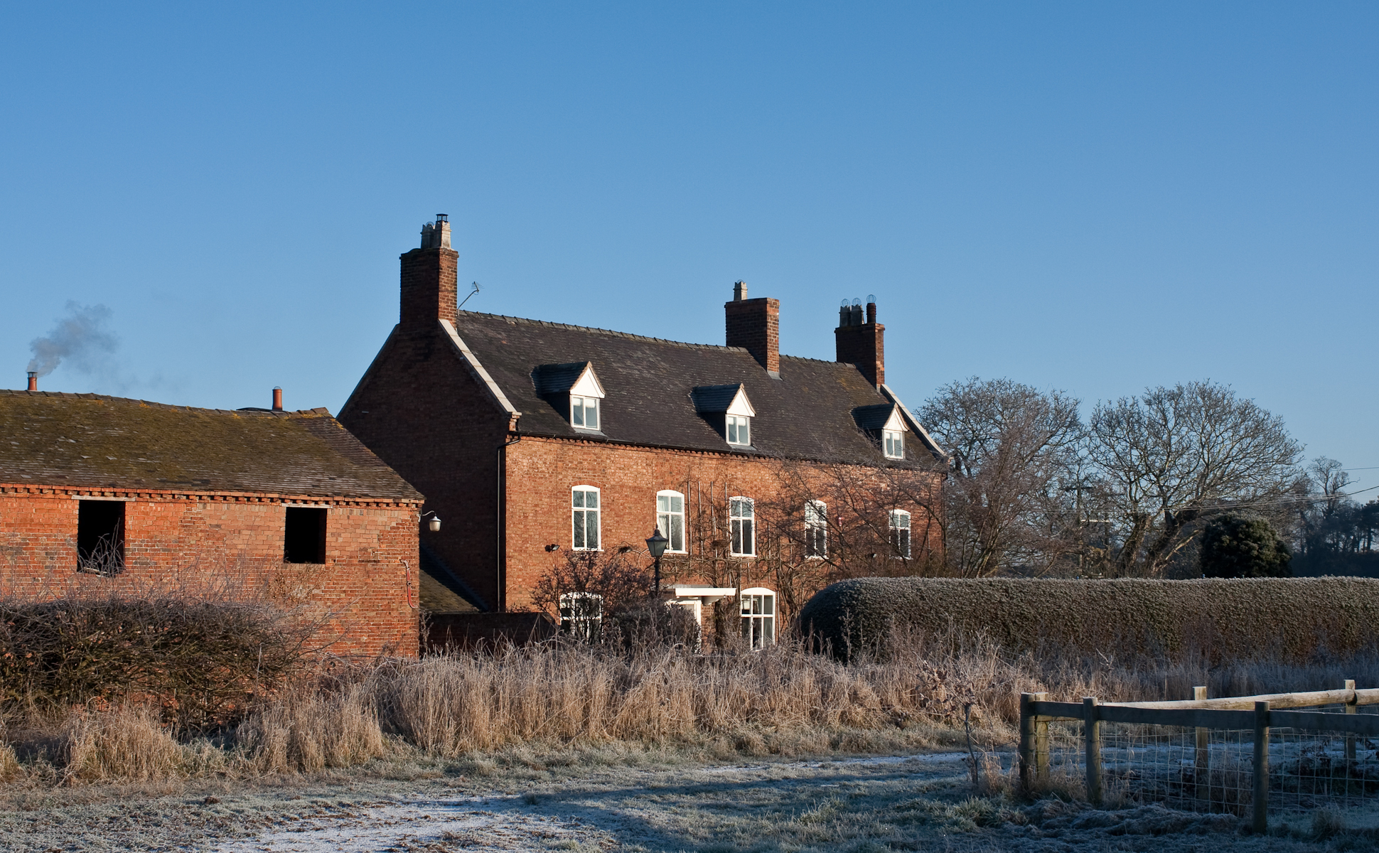
Cheswell Manor.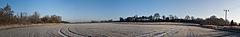
View towards Cheswell Hill from the main settlement.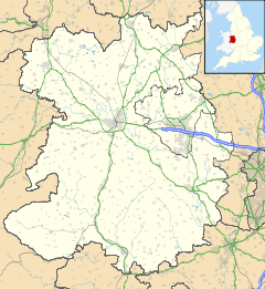
 Cheswell
Cheswell shown within ShropshireOS grid reference SJ720171 Shire county Shropshire Region West Midlands Country England Sovereign state United Kingdom Police West Mercia Fire Shropshire Ambulance West Midlands EU Parliament West Midlands List of places: UK • England • Shropshire Cheswell is a hamlet in Shropshire, England on the edge of the Weald Moors.
The settlement is overlooked by a rocky, sandstone edge called Cheswell Hill, which gives the place its name. The old name - Chrestill - is thought to mean 'Christ's Hill' or 'the hill with a cross'.
There a number of substantial brick buildings, including the Manor, Grange and Lodge, surrounded by damp, reclaimed farmland.
References
- Raven, Michael, 'A Guide to Shropshire', Michael Raven, 2005, 0906114349.
Categories:- Geography of Shropshire
- Hamlets in England
- Shropshire geography stubs

Wikimedia Foundation. 2010.