- Charles Street (Boston)
-
This article is about the Charles Street in Boston. For the Charles Street in Baltimore, see Maryland Route 139.
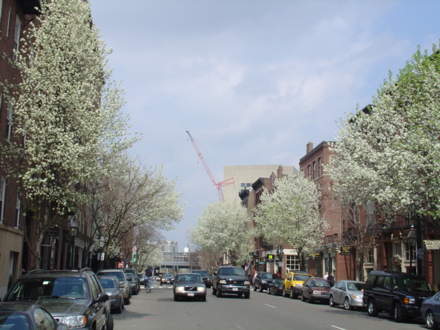
 Charles Street in bloom.
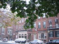
Charles Street is the name of a north-south street in the city center of Boston, Massachusetts. It begins in the north at Leverett Circle, where it intersects Cambridge Street and Storrow Drive, and gives its name to the Charles/MGH station of the MBTA. It then heads south and forms the primary commercial spine of the affluent neighborhood of Beacon Hill. At Beacon Street the direction of traffic changes from north-south to south-north, and the street widens to form the boundary between Boston Common and the Boston Public Garden. Beyond Boylston Street, which forms the southern boundary of the parks, the street continues as Charles Street South, terminating at Stuart Street in the Theatre District.
The street is the start and finish point for the annual B.A.A. 10K race, first organised by the Boston Athletic Association in 2011.[1]
Contents
Notable residents
- John Albion Andrew lived on Charles St., 1855-1867[2]
- Annie Adams Fields, James Thomas Fields,[3] Sarah Orne Jewett (site of 148 Charles St.)
- Lucretia Peabody Hale (127 Charles St.)[4]
- Davide Rossi (143 Charles St.)[5]
In film
Part of Martin Scorsese's 2006 film The Departed was shot along Charles Street in Beacon Hill.
See also
- Boston Common
- Boston Public Garden
- Charles Street Jail
- Charles Street Meeting House
Image gallery
-

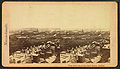
Overview of Beacon Hill, with Charles St. at water's edge, 1850
-

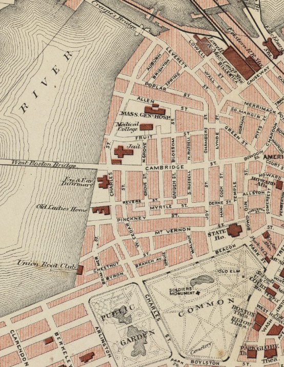
Detail of 1883 map of Boston, showing extent of Charles St.
-
Corner of Beacon St. and Charles St., ca.1870
-
View of Charles St., Public Garden and Common, from State House, 19th c.
-
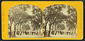
Charles Street Mall on the Common, 19th c.
-

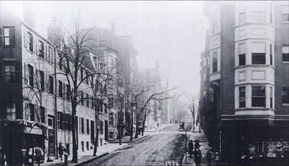
Corner of Charles St. and Mt. Vernon St., ca.1905
-

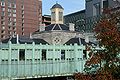
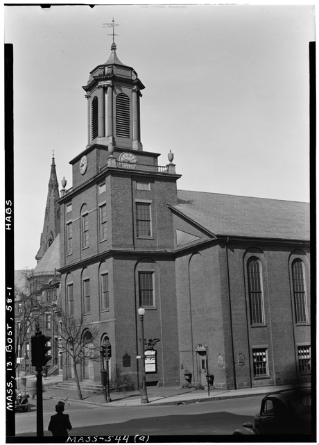
Charles St. Meeting House, 1941
-
Charles St. Jail
-
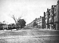
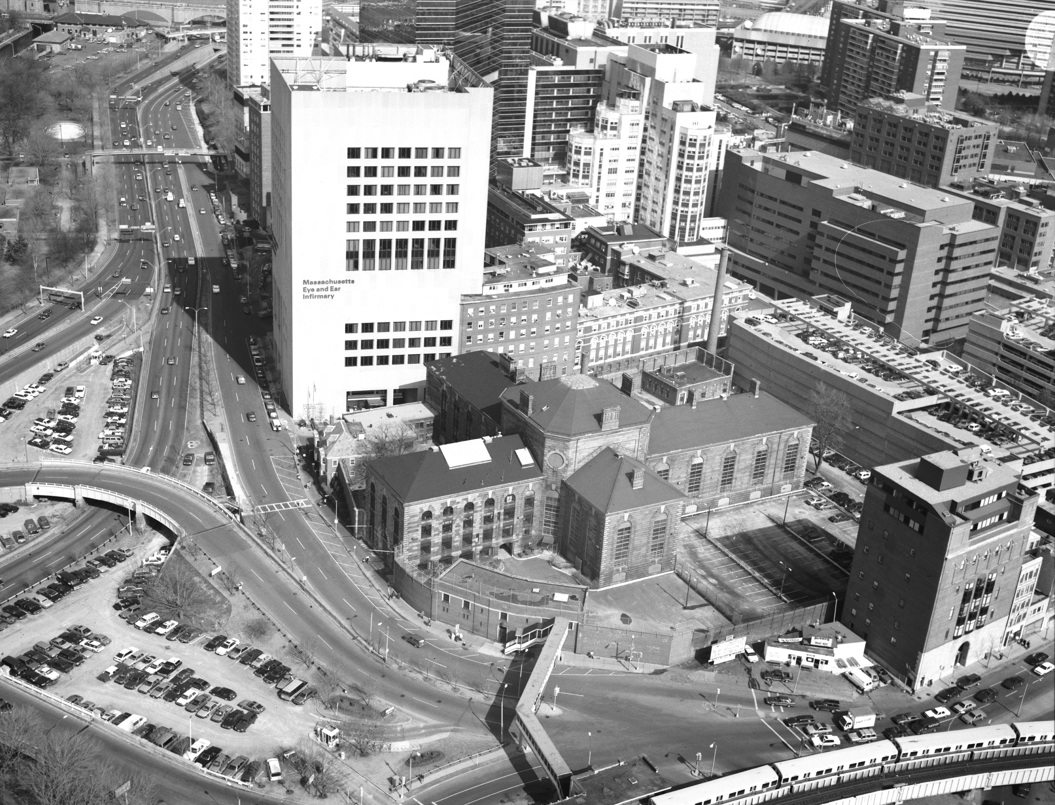
View of Charles St. from Cambridge St., 1993
-
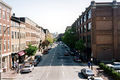
Charles St., 2004
-
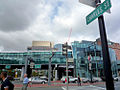
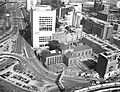
Charles St. and Cambridge St., 2009
-
Charles St. and Cambridge St., 2009
References
- ^ Connelly, John (2011-06-27). Feeling at home. Boston Herald. Retrieved on 2011-07-02.
- ^ State Street Trust Company. Forty of Boston's historic houses. 1912.
- ^ Boston Directory, 1856
- ^ Susan Wilson. Literary Trail of Greater Boston, 2nd ed. Beverly, Mass.: Commonwealth Editions, 2005; p.59
- ^ Davide Rossi. When I was in India - Recollections Recounted, n to the nth ed. Cambridge, Mass.: Italian Editions, 2008-10; p.59
External links
- Library of Congress, Historic American Buildings Survey. 20th c. photos of house (built circa 1874), "one of the last single-family bow-fronted rowhouses to be built in Boston. This structure is included in the South End Historic District."
- http://www.flickr.com/photos/mit-libraries/3385484394/
- http://www.flickr.com/photos/jeffandfazia/3731460044/
- http://www.flickr.com/photos/galahad/85003442/
- http://www.flickr.com/photos/shutterscript/3086139769/
Coordinates: 42°18′00″N 71°03′46″W / 42.3001°N 71.0628°W
Categories:- Streets in Boston, Massachusetts
- Beacon Hill, Boston
- West End, Boston


Wikimedia Foundation. 2010.