- Congress Street (Boston, Massachusetts)
-
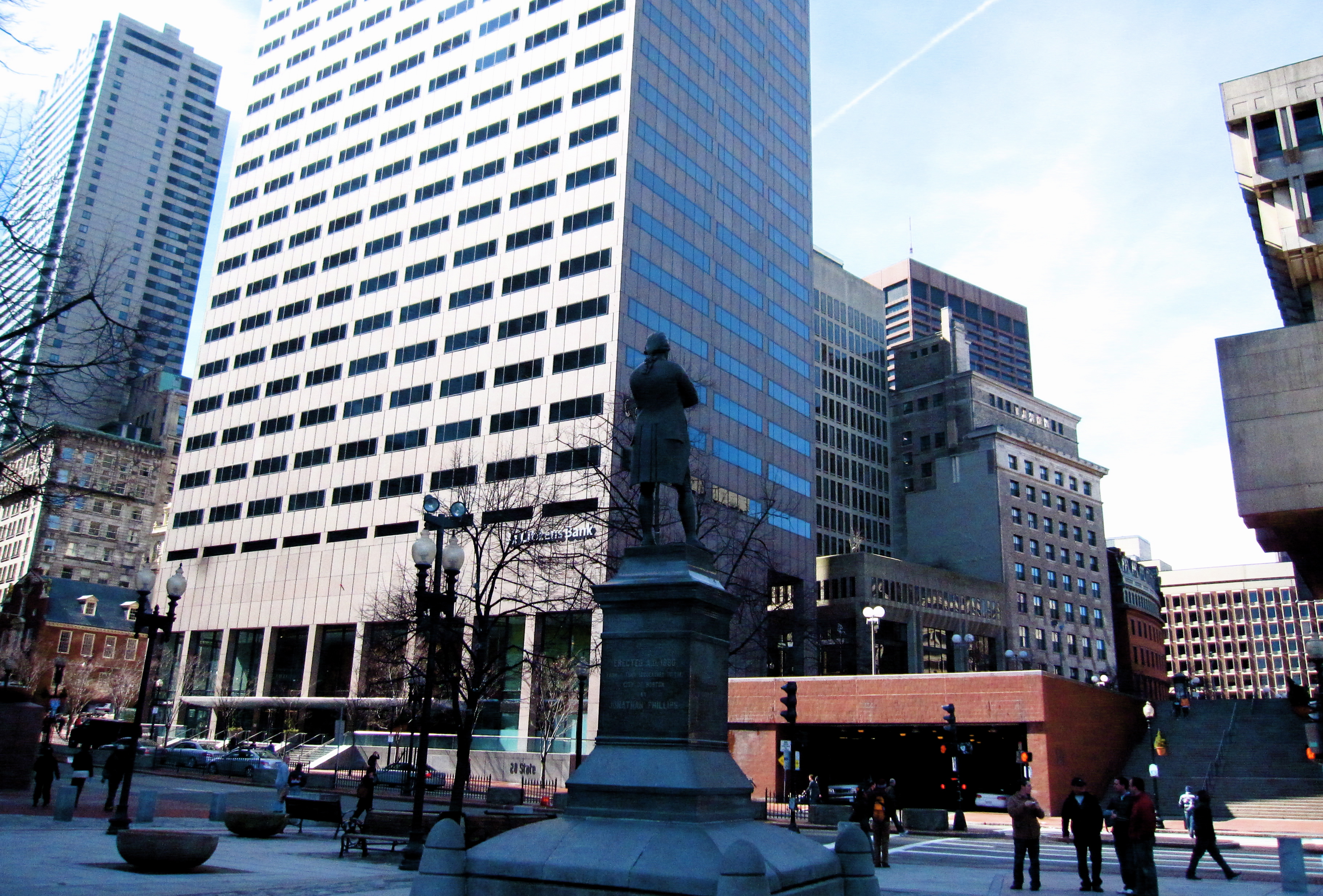
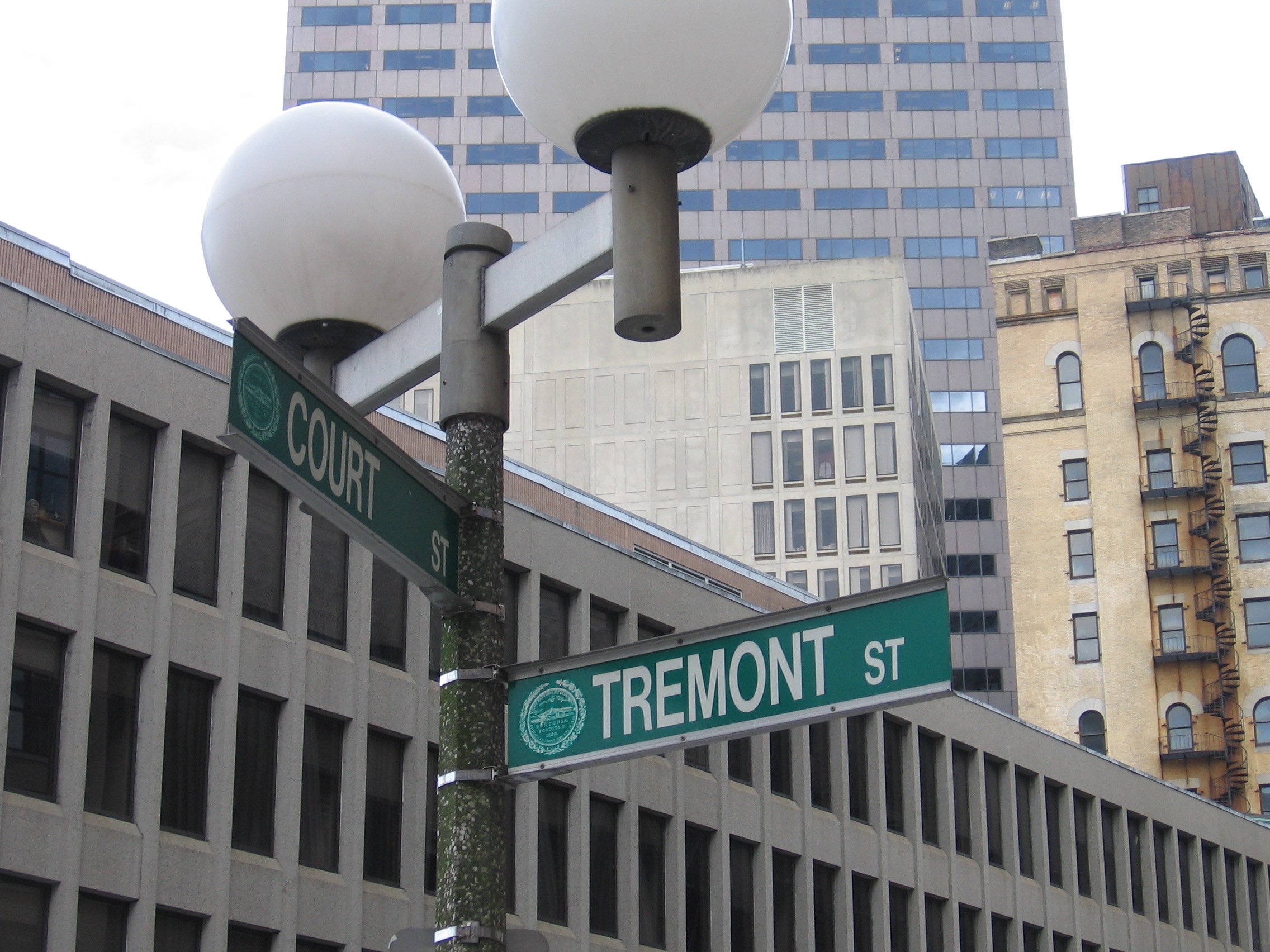
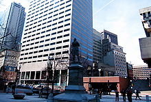 Congress Street, from Dock Square, Boston, 2010
Congress Street in Boston, Massachusetts is located in the Financial District and South Boston. It was first named in 1800. It was extended in 1854 (from State Street) as far as Atlantic Avenue, and in 1874 across Fort Point Channel into South Boston. Today's Congress Street consists of several segments of streets, previously named Atkinson's Street, Dalton Street, Gray's Alley, Leverett's Lane, Quaker Lane, and Shrimpton's Lane.[1][2]
Contents
See also
- Boston Children's Museum
- Boston City Hall
- The Boston Post
- Boston Reds (1890–1891)
- Children's Wharf
- Congress Street Fire Station
- Congress Street Grounds
- Dock Square (Boston, Massachusetts)
- Exchange Coffee House, Boston
- Government Center, Boston
- John Hancock Building
- Julien Hall (19th c.)
Image gallery
-

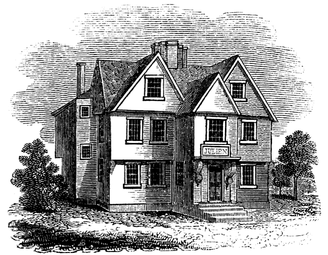
Julien's Restorator, corner of Milk Street and Congress St. (demolished 1824)
-

Dalton house, corner of Congress St. and Water St., Boston, ca.19th c.
-
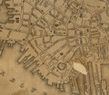
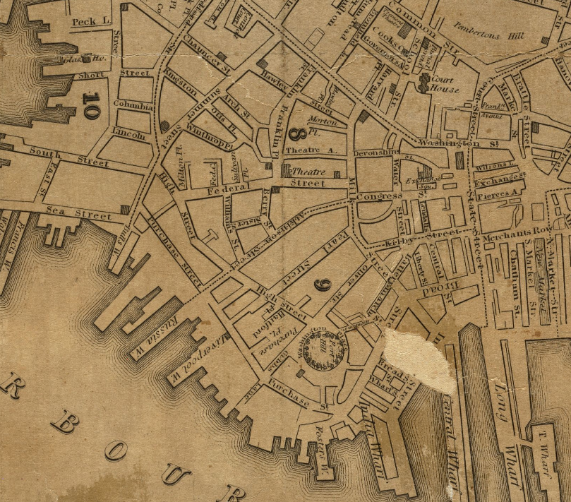
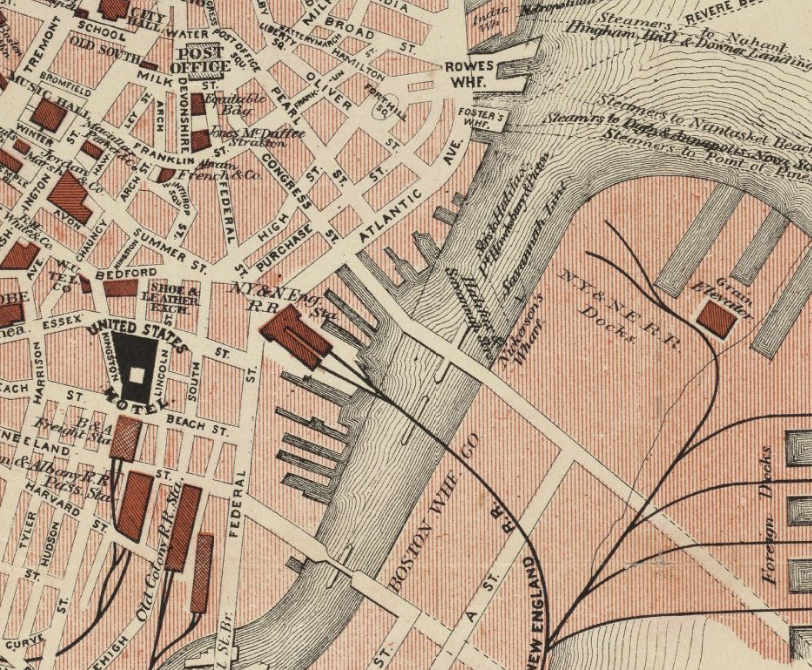
Detail of 1829 map of Boston, showing extent of Congress St.; (Atkinson St. would become part of Congress St. in 1854)
-

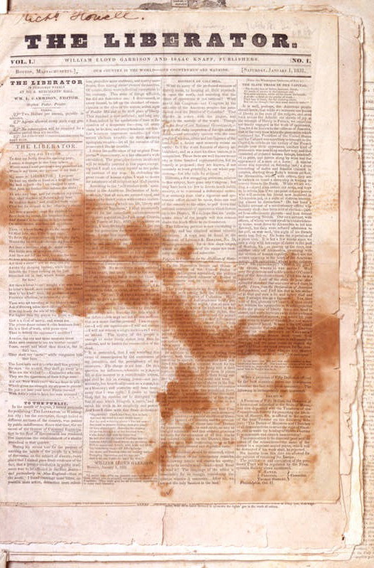
Issue No.1, The Liberator, 1831; published from Office #11, Merchants Hall, on Water Street at the corner of Congress Street, Boston
-
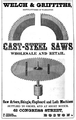
Advertisement for Welch & Griffiths, cast-steel saws, 1852
-
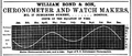
Advertisement for William Bond & Son, chronometer and watch makers, 1861
-

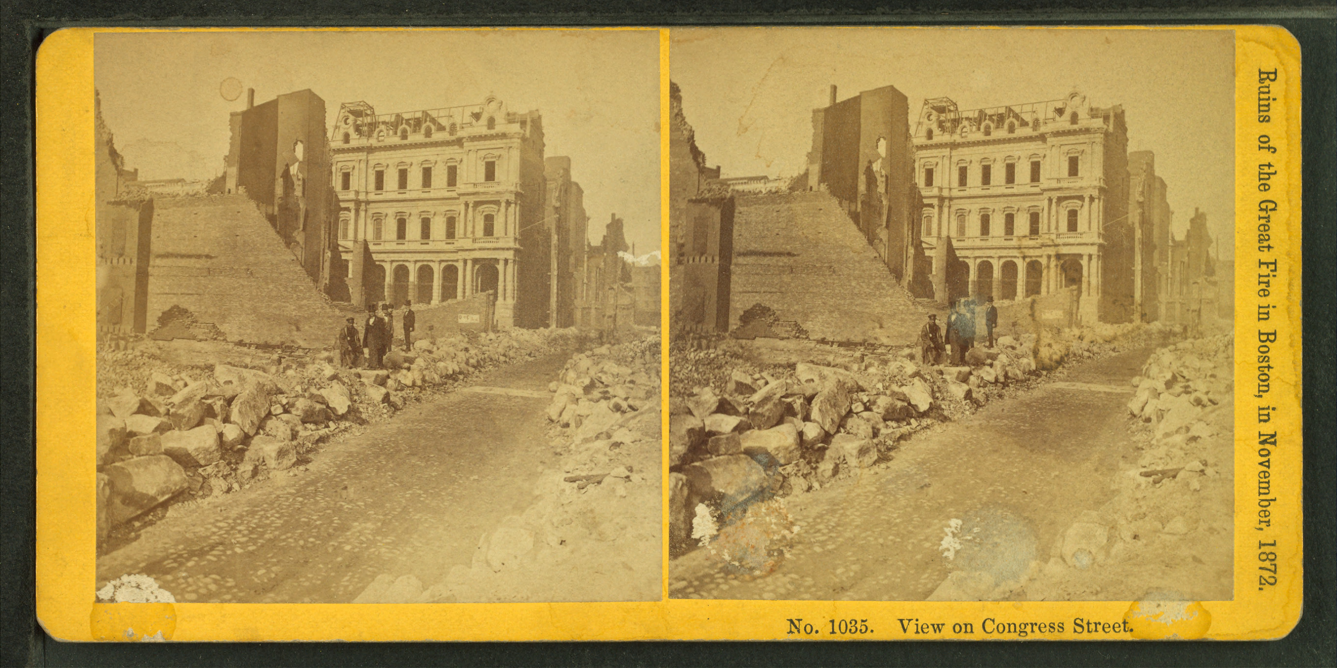
Congress St. after the fire of 1872
-

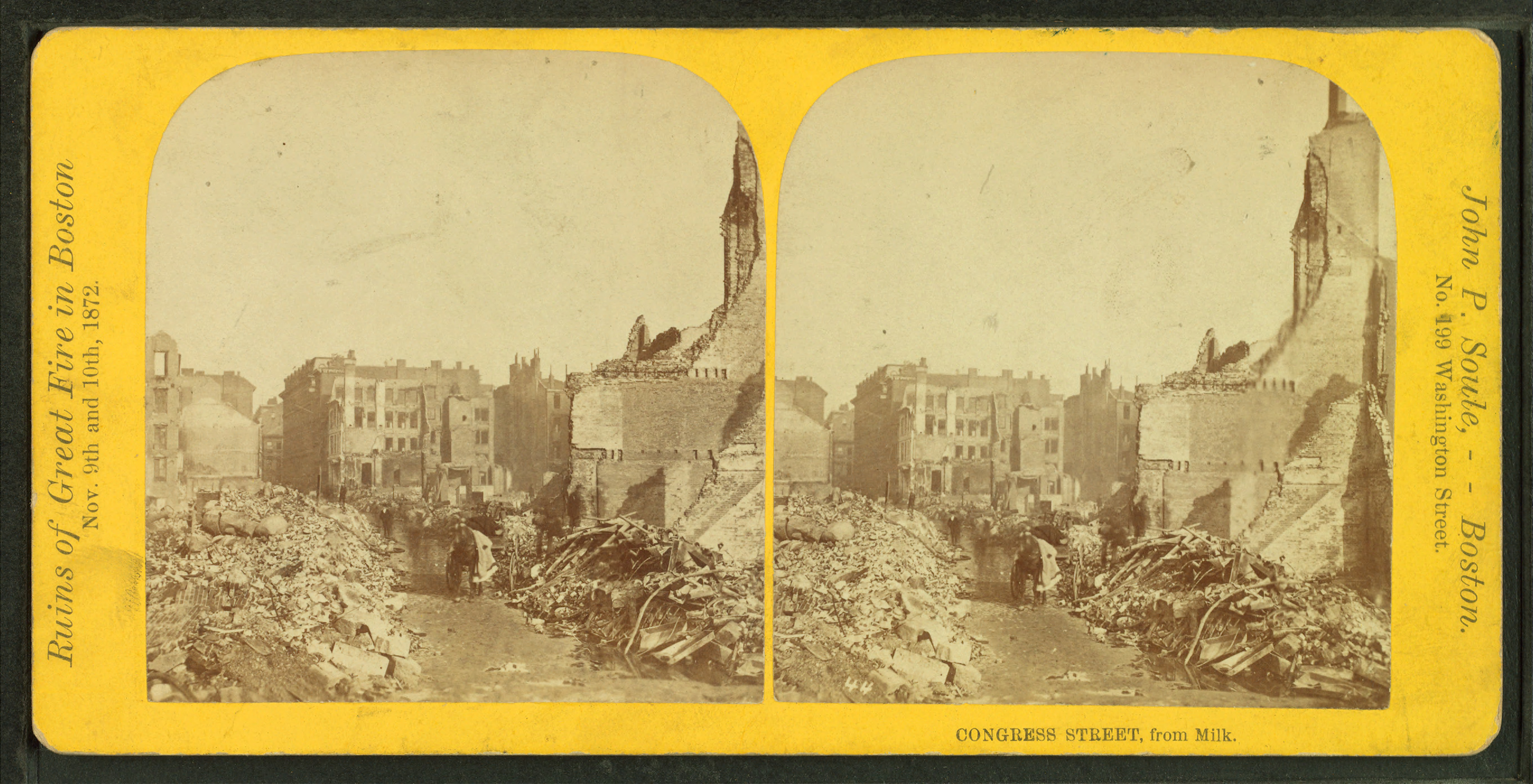
Congress St. (looking from Milk St.), after the fire, 1872; photo by John P. Soule
-

Detail of 1883 map of Boston, showing Congress St. and vicinity
-
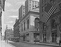
Stock Exchange, Congress St., Boston, 1910's
-

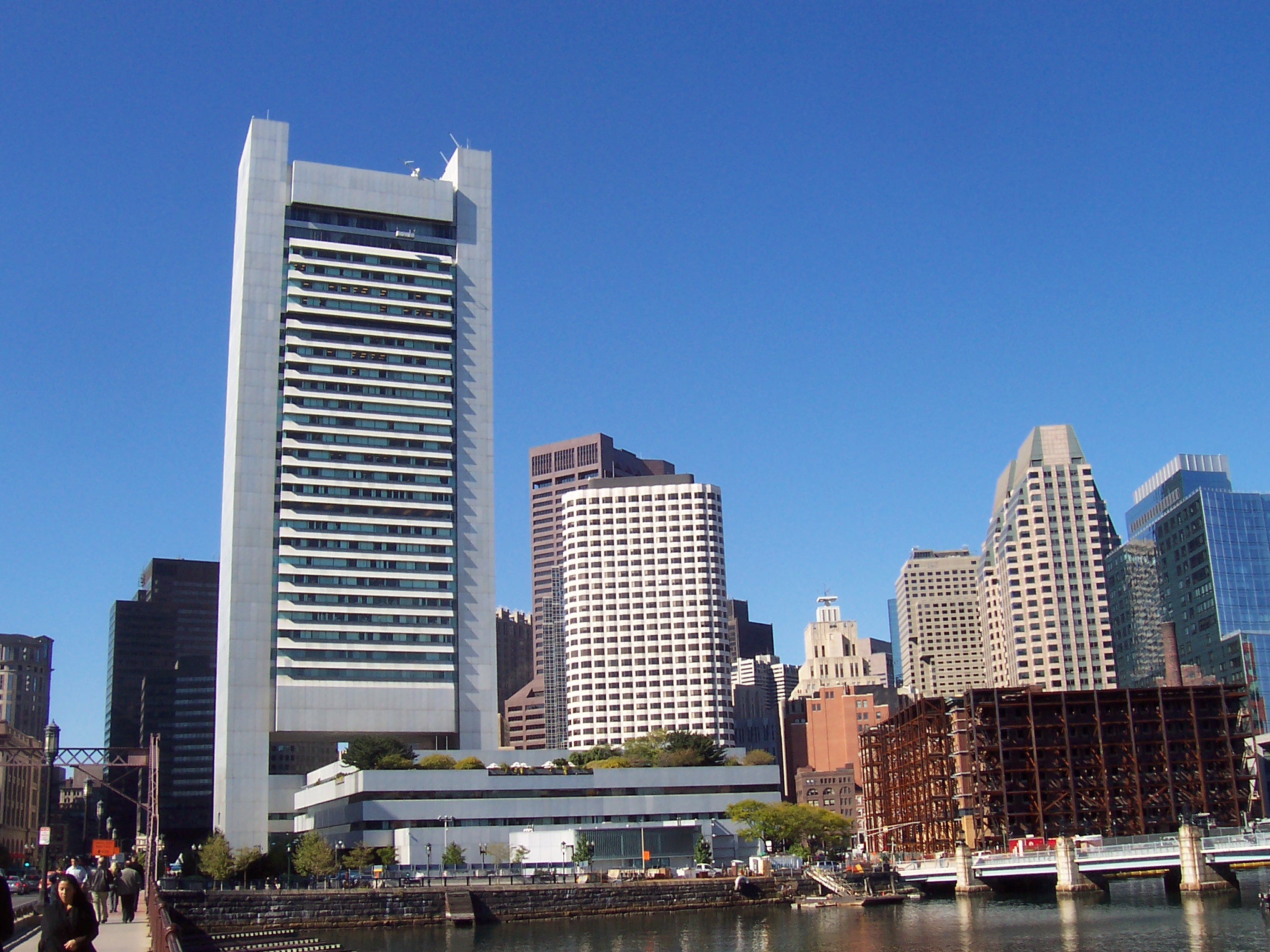
Congress Street Bridge (at far right), 2007
-
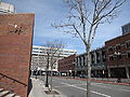
Congress St., Boston, looking towards Merrimac St., 2010
References
- ^ Boston Street Laying-Out Dept. A record of the streets, alleys, places, etc. in the city of Boston. Boston: City Printing Dept., 1910.
- ^ http://www.cityofboston.gov/publicworks/streetbook
External links
- Bostonian Society has materials related to the street.
- Library of Congress, Historic American Engineering Record. Congress Street Bascule Bridge, Spanning Fort Point Channel at Congress Street, Boston, Suffolk County, MA.
- Boston Public Library. Plan of the estates nos. 246 to 252 Congress corner of Purchase Street..., 1869.
Categories:- Streets in Boston, Massachusetts
- History of Boston, Massachusetts
- Financial District, Boston
- South Boston, Boston
- Government Center, Boston


Wikimedia Foundation. 2010.