New Chardon Street (Boston)
- New Chardon Street (Boston)
-
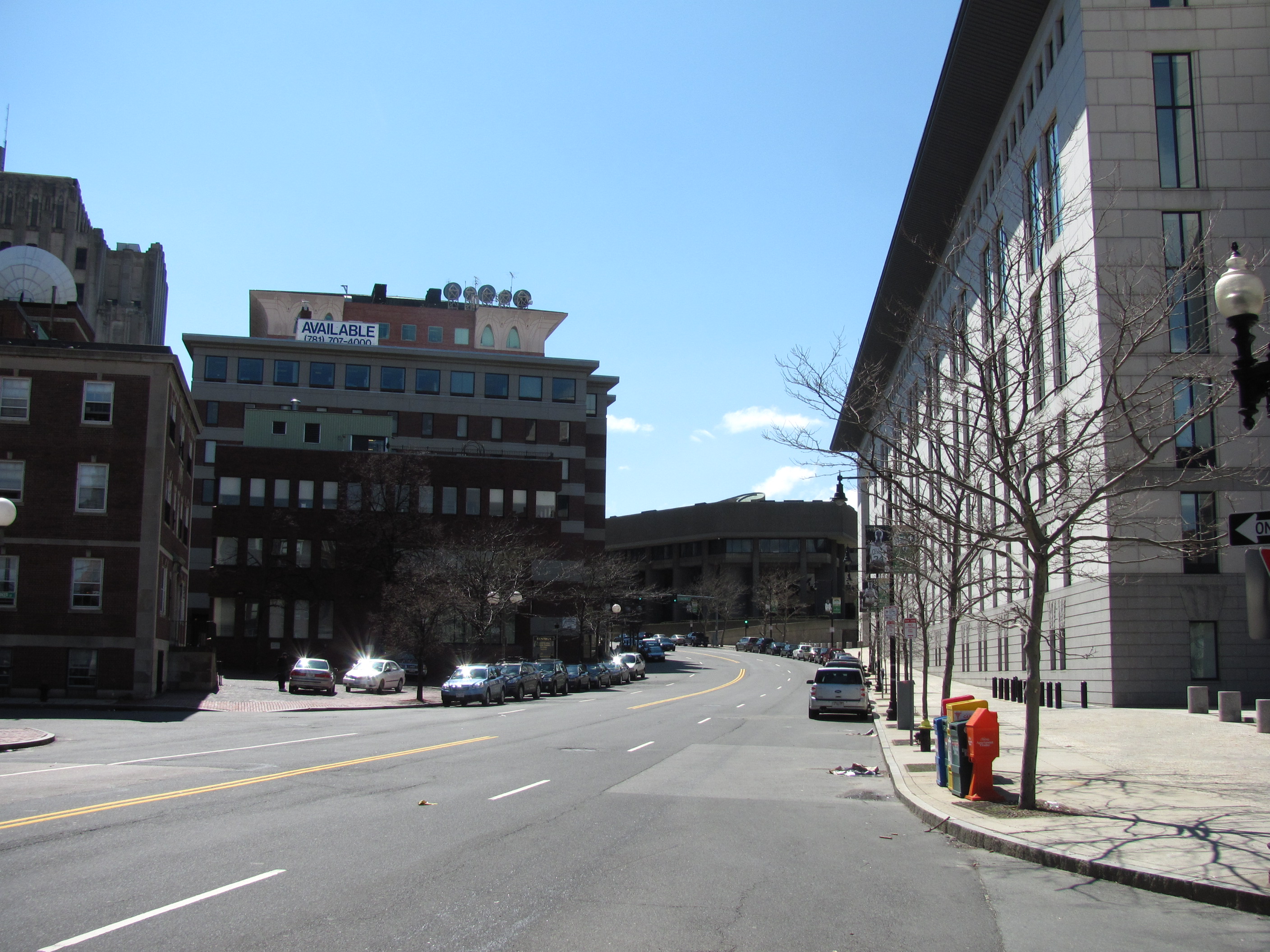
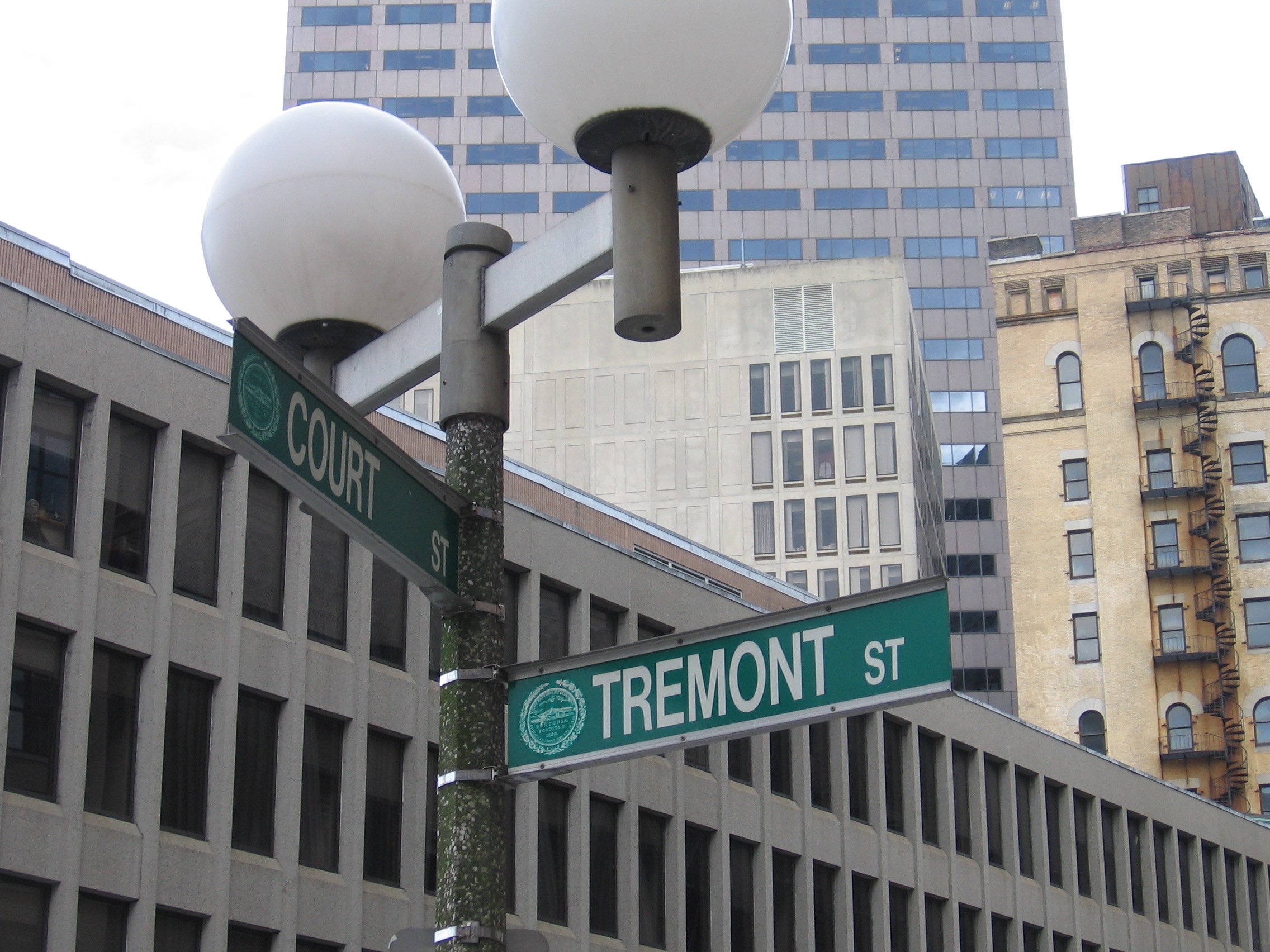
New Chardon Street is a street in downtown Boston, Massachusetts, USA, north of Government Center. It begins at Cambridge Street at Bowdoin Square, across from Bowdoin Street. The two-way street continues east across Congress Street, ending at Haymarket Square with access to the Sumner and Callahan Tunnels (Route 1A) and the Central Artery (I-93/U.S. 1/Route 3), as well as local access to Washington Street North and the Surface Artery.
History
New Chardon Street was originally Chardon Street, connecting Bowdoin Square to Merrimac and Portland Streets (where Congress Street now intersects).
The full length of the street had streetcar tracks added between 1872 and 1874; they were gone by 1925.
The street stayed in the same configuration until the 1960s, when Government Center was built and the streets in the area were reconfigured. Chardon Street was realigned and renamed New Chardon Street, made one-way westbound, and extended east to Washington Street North and the Central Artery as a continuation of Cross Street.
As part of the Big Dig in the early 2000s, the road was made two-way, along with easier access to the Sumner and Callahan Tunnels at its east end provided by new ramps.
See also
References
| v · Boston |
|
| Streets |
|
|
|
Squares, Circles,
Crossings and
Corners |
|
|
|
|
|
Coordinates: 42°21′45.26″N 71°03′38.62″W / 42.3625722°N 71.0607278°W / 42.3625722; -71.0607278
Categories:
- Streets in Boston, Massachusetts
- West End, Boston
- Government Center, Boston
Wikimedia Foundation.
2010.
Look at other dictionaries:
Washington Street (Boston) — Old South meeting house, Washington St., 1968 … Wikipedia
Congress Street (Boston, Massachusetts) — Congress Street, from Dock Square, Boston, 2010 Congress Street in Boston, Massachusetts is located in the Financial District and South Boston. It was first named in 1800. It was extended in 1854 (from State Street) as far as Atlantic Avenue, and … Wikipedia
North Street (Boston, Massachusetts) — Ann Street, Boston, 1881 North Street in the North End of Boston, Massachusetts extends from Congress Street to Commercial Street. It runs past Dock Square, Faneuil Hall, Quincy Market, the Rose Kennedy Greenway, and North Square. It was firs … Wikipedia
Charles Street (Boston) — This article is about the Charles Street in Boston. For the Charles Street in Baltimore, see Maryland Route 139. Charles Street in bloom. Charles Street is the name of a north south street in the city center of Boston, Massachusetts. It begins in … Wikipedia
Boston Municipal Court — Brooke courthouse, New Chardon Street, Boston The Boston Municipal Court handles matters of limited criminal jurisdiction which do not require the imposition of a state prison sentence. If a prison sentence is mandated, the Court may conduct… … Wikipedia
Atlantic Avenue (Boston) — Atlantic Avenue Viaduct redirects here. For the Long Island Rail Road structure in Brooklyn, New York, see Atlantic Branch. Atlantic Avenue at Essex St., Boston, 2010 Atlantic Avenue is a street in downtown Boston, Massachusetts, USA, partly… … Wikipedia
Dorchester Avenue (Boston) — Dorchester Avenue (sometimes called Dot Ave) is a street in Boston, Massachusetts, running from downtown south via South Boston and Dorchester to the border with Milton, where it ends. Built as a turnpike, the Dorchester Turnpike, it is mostly… … Wikipedia
Newbury Street — This article is about the Boston street built in the 1860s. For the old Newbury Street section of Washington Street, see Washington Street (Boston). A mix of architectural styles along Newbury Street near the Boston Public Garden. Newbury Street… … Wikipedia
Milk Street — Milk St., Boston, 19th c. Frankl … Wikipedia
Dock Square (Boston, Massachusetts) — Dock Square, Boston, ca.1840s; Old Feather Store (at left) and Faneuil Hall (in middle) Dock Square in Boston, Massachusetts is a public square adjacent to Faneuil Hall, bounded by Congress Street, North Street, and Union Street … Wikipedia