- Charles/MGH (MBTA station)
-
CHARLES/MGH 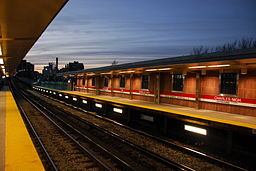
Charles/MGH at nightStation statistics Address 170 Charles St.
Boston, MA 02114-3253Coordinates 42°21′41″N 71°04′17″W / 42.3613°N 71.0714°WCoordinates: 42°21′41″N 71°04′17″W / 42.3613°N 71.0714°W Lines Platforms 2 side platforms Tracks 2 Other information Opened February 27, 1932 Rebuilt February 17, 2007 Accessible 
Owned by Massachusetts Bay Transportation Authority Services Preceding station MBTA Following station toward AlewifeRed Line Charles/MGH Station also known as Charles or Charles Street, is located at the intersection of Cambridge Street and Charles Street, in Boston, Massachusetts. The rapid transit station is on the MBTA Red Line and is elevated, being located at the Boston side of the Longfellow Bridge, which carries the Red Line and vehicular traffic across the Charles River. Trains return to the Red Line tunnel just southeast of the station. The station is one of the few stations on the Red Line that do not have a bus connection.
A new headhouse for Charles/MGH station opened on February 17, 2007, a half block east of its former location. The new headhouse contains escalators and elevators, making the station accessible to persons with disabilities for the first time.[1]
Contents
Overview
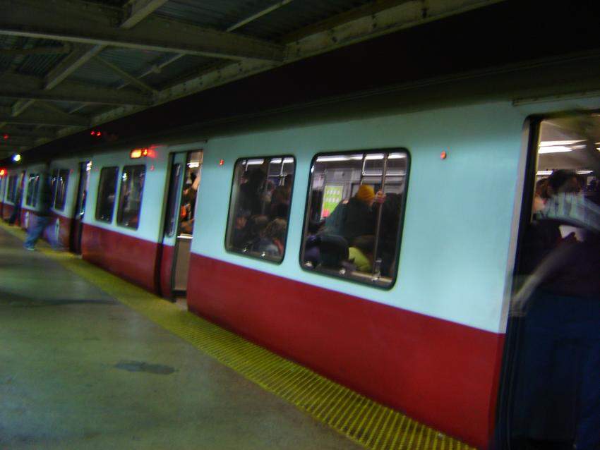
 An Inbound Red Line train arrives at Charles/MGH Station
Across the street from the station is the former Charles Street Jail (which has been converted into a hotel), the Massachusetts Eye and Ear Infirmary, and the Massachusetts General Hospital (MGH), all of which serve as prominent landmarks in the area. The station is also situated at the border of the Boston neighborhoods of Beacon Hill and West End. Other attractions include the Charles River Esplanade, Community Boating, Hatch Shell, the Longfellow Bridge, the Charles River Bike Path, and shops/restaurants on Charles and Cambridge Streets.
The old station was featured in many episodes of Cheers.
Proposed Blue Line connection
Future plans for the station include a new, underground terminus for the Blue Line below the elevated station.[2] Currently, there is no direct connection between the Red and Blue lines. As part of a September 2008 lawsuit settlement, the state agreed to fully design the project but is no longer bound by an earlier commitment to build it and, as of mid-2009, there is no funding to do so. The extension would be carried by a short tunnel west from Bowdoin station under Cambridge Street. The Bowdoin station itself is slated to be closed once renovations to the Government Center are complete. A new turnaround loop would be constructed to replace the one at Bowdoin.
References
- ^ Massachusetts Bay Transportation Authority. "Charles/MGH Renovation". http://www.mbta.com/about_the_mbta/t_projects/?id=982. Retrieved 2006-12-29.
- ^ Daniel, Mac (2006-11-30). "State agrees to design link between Red and Blue lines". The Boston Globe. http://www.boston.com/news/local/articles/2006/11/30/state_agrees_to_design_link_between_red_and_blue_lines/. Retrieved 2006-12-29.
External links
Categories:- Red Line (MBTA) stations
- Railway stations in Boston, Massachusetts
- Railway stations opened in 1932

Wikimedia Foundation. 2010.