Braintree (MBTA station)

Braintree (MBTA station)

Infobox Station
name= Braintree Station
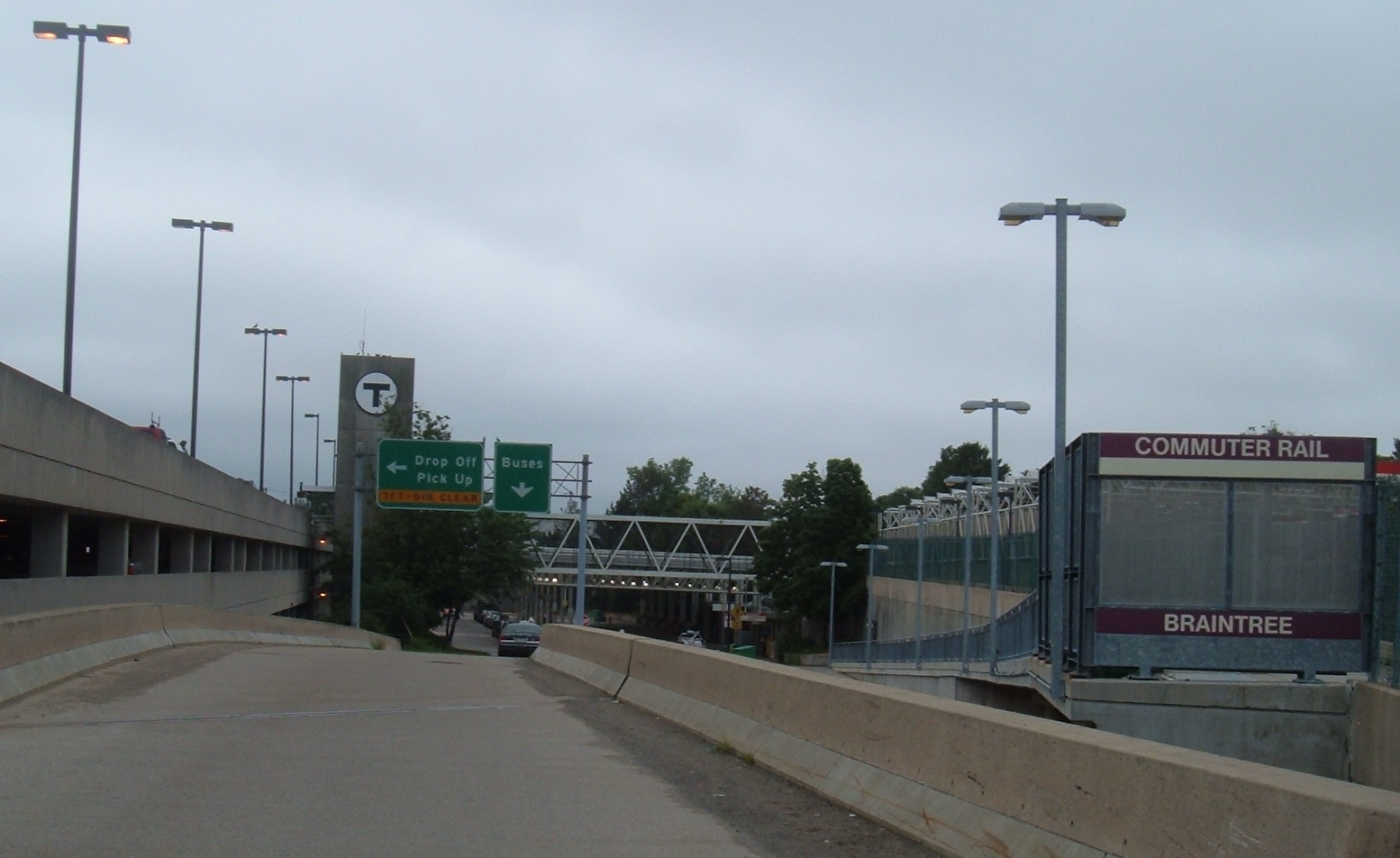


image_size=300
image_caption=
address=Ivory Street between Union and Pearl, Braintree
line=MBTA Subway: rail color box|system=MBTA|line=RedMBTA Commuter Rail:rail color box|system=MBTA|line=Middleboroughrail color box|system=MBTA|line=Plymouth
other=
platform=
parking=1,281 spaces
bicycle=30 spaces
passengers=
pass_year=
pass_percent=
opened=March 22, 1980
rebuilt=
ADA=Yes
code=
owned=Massachusetts Bay Transportation Authority
zone=
services=

Braintree Station, located at Ivory and Union Streets in Braintree, Massachusetts coord|42.207767|N|71.001291|W|type:railwaystation, is the southernmost station on the Massachusetts Bay Transportation Authority's Red Line. It also is a stop on the MBTA Commuter Rail, Old Colony Lines (MBTA).

The station features a large park and ride garage, with space for 1,281 automobiles (though the garage often fills up on busy days). It can be easily reached from Exit 17 off Route 3, a major highway to Cape Cod.

The station opened on March 22, 1980 and is a 30 minute ride from Park Street. Braintree Station is wheelchair accessible. "See" MBTA accessibility.

Until 2007, there was a $1.25 exit fare and a $2.50 entry fare to pay for the added routes; when at that time the entry fare for MBTA subway stations was normally $1.25. These surcharges existed at Quincy Adams and Braintree, and similar surcharges existed on other parts of the Braintree Extension at various times.


Wikimedia Foundation. 2010.

Игры ⚽ Нужно решить контрольную?

Look at other dictionaries:

  • Weymouth Landing/East Braintree (MBTA station) — Infobox Station name= Weymouth Landing/East Braintree Station type= MBTA Commuter Rail address= 121 Commercial St Weymouth, Massachusetts coordinates = coord|42|13|14.88|N|70|58|5.52|W|type:railwaystation line= rail color… …   Wikipedia

  • Davis (MBTA station) — DAVIS Station statistics Address Holland Street Elm Street …   Wikipedia

  • Plymouth (MBTA station) — Infobox Station name=Plymouth image size= 250 image caption= The Plymouth MBTA station in Cordage Park address=385 Court St Plymouth, MA 02360 7310 coordinates= line=rail color box|system=MBTA|line=Plymouth other= platform=1 side platform… …   Wikipedia

  • JFK/UMass (MBTA station) — JFK/UMASS JFK/UMASS …   Wikipedia

  • Downtown Crossing (MBTA station) — DOWNTOWN CROSSING DOWNTOWN CROSSING DOWNTOWN CROSSING …   Wikipedia

  • Milton (MBTA station) — MILTON MBTA light rail Station statistics Address 1 Adams Street at 1 Eliot Street Milton, MA 02186 Coordinates …   Wikipedia

  • Wollaston (MBTA station) — Infobox Station name=Wollaston Station image size=200px image caption=Wollaston T station s Newport Ave. entrance address=Newport Avenue and Beale Street line= MBTA Subway fontcolor|red|Red Line (Braintree Branch) other= platform=Single Platform… …   Wikipedia

  • North Quincy (MBTA station) — NORTH QUINCY The Hancock Street entrance to the T station and its associated parking lot Station statistics Address …   Wikipedia

  • Kendall/MIT (MBTA station) — KENDALL Inbound platform Station statistics Address …   Wikipedia

  • Holbrook/Randolph (MBTA station) — Infobox Station name= Holbrook/Randolph Station address=Union St Center St, Randolph, MA 02368 coordinates = coord|42|9|23|N|71|1|41|W|type:railwaystation region:US MA line=rail color box|system=MBTA|line=Middleborough other= platform=… …   Wikipedia

Share the article and excerpts

Direct link
Do a right-click on the link above
and select “Copy Link”