- Collyhurst
-
Coordinates: 53°29′48″N 2°13′04″W / 53.496703°N 2.217846°W
Collyhurst 
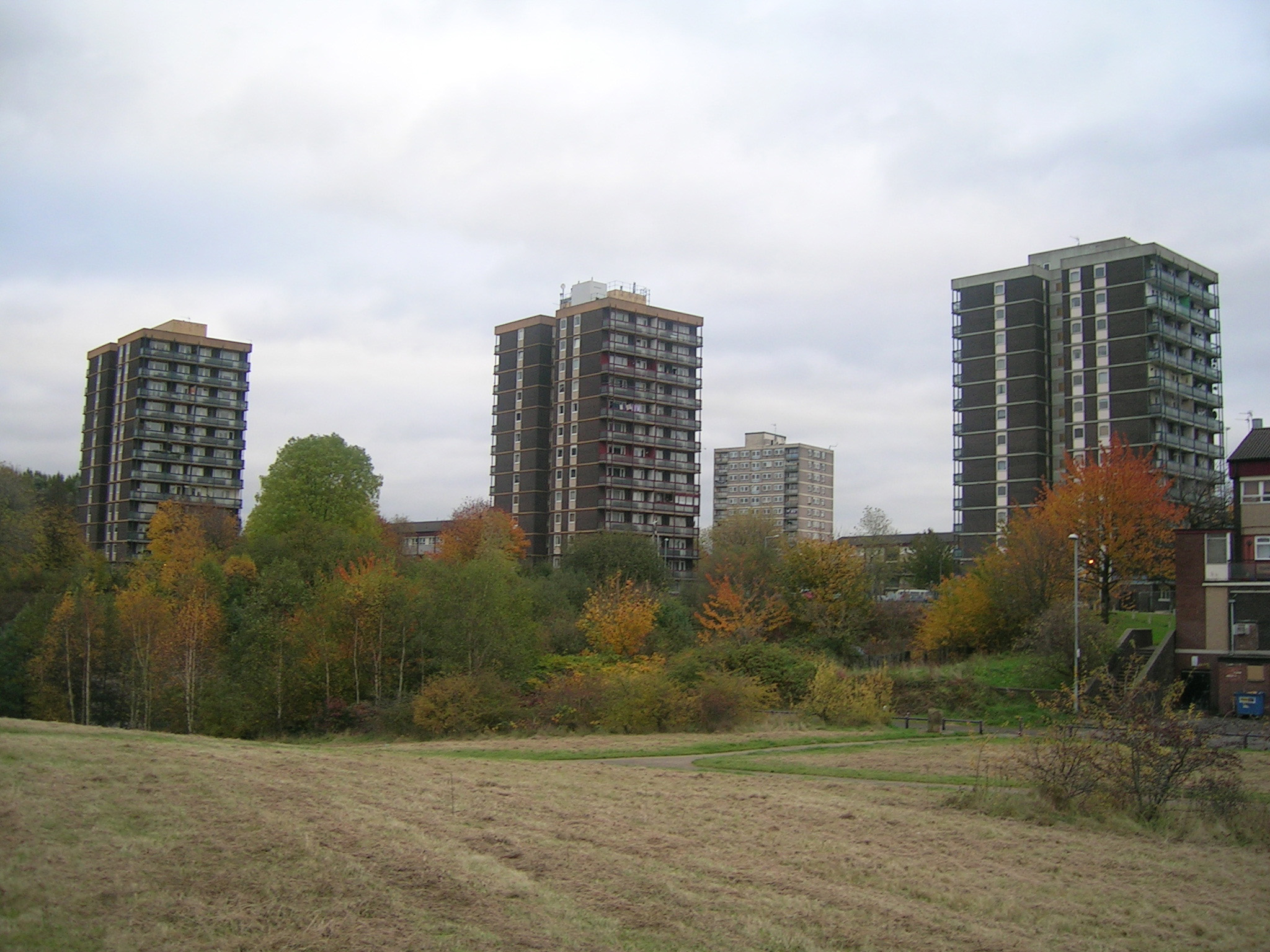
High rises at Collyhurst
 Collyhurst
Collyhurst shown within Greater ManchesterOS grid reference SD855000 Metropolitan borough Manchester Metropolitan county Greater Manchester Region North West Country England Sovereign state United Kingdom Post town MANCHESTER Postcode district M40 Dialling code 0161 Police Greater Manchester Fire Greater Manchester Ambulance North West EU Parliament North West England UK Parliament Blackley and Broughton List of places: UK • England • Greater Manchester Collyhurst is a locality in Manchester. It is 1½ miles northeast of Manchester city centre, on Rochdale Road and Oldham Road. The River Irk passes through the area. Prominent buildings in Collyhurst include its local police station, Billy Green's pub, which featured on the TV show "Toughest Pubs in the UK" and in the video for The Beautiful South's single "Manchester" and two Roman Catholic churches, St Patrick's and St Malachy's.
On August 15, 1953 the front coach of a Manchester to Bury electric train fell from the Collyhurst viaduct over the River Irk after colliding with a local steam train. Ten people were killed and 58 injured in the crash.[1]
Collyhurst is one of the most deprived places in Manchester and the UK[2].
Contents
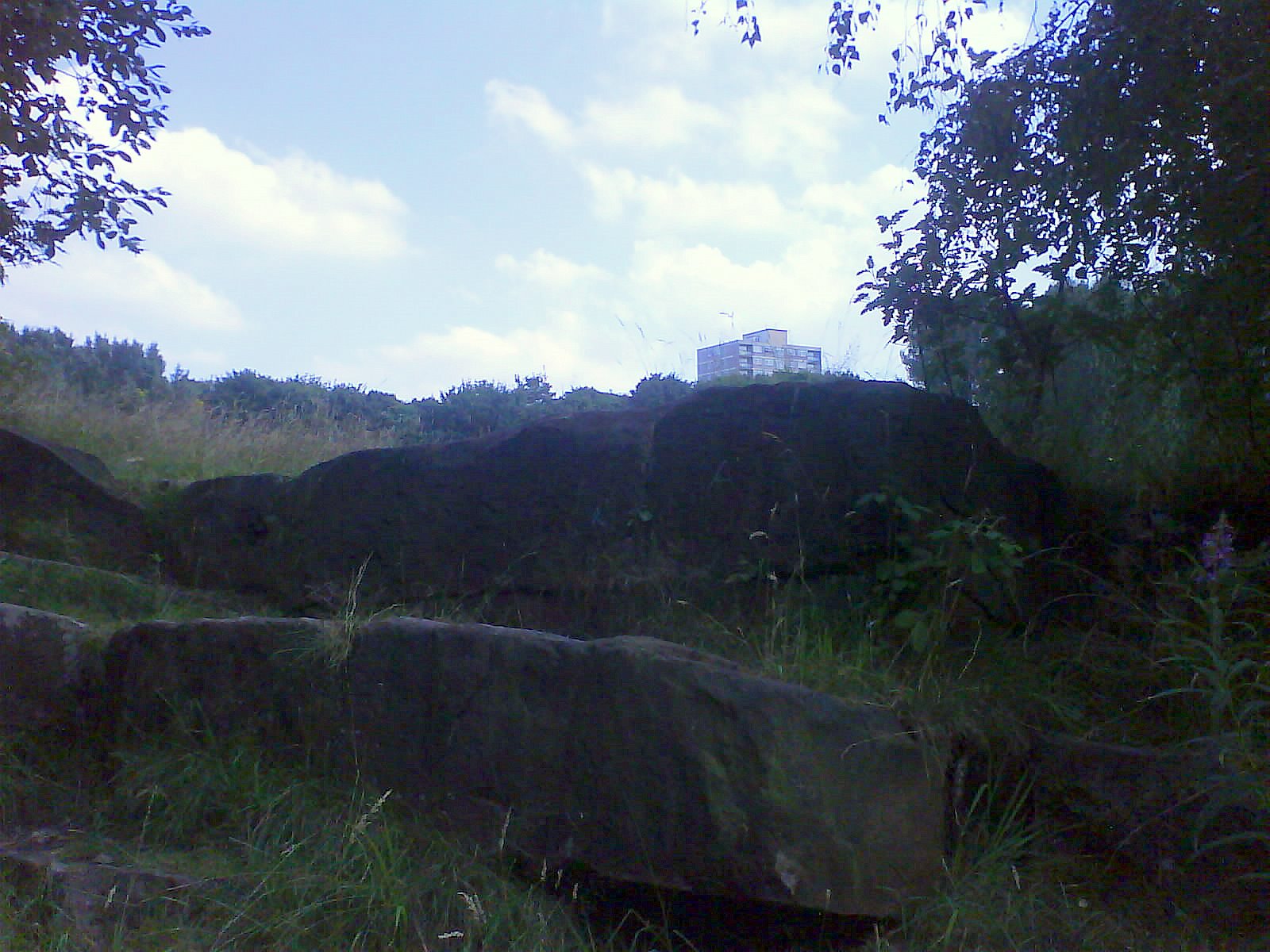
Collyhurst sandstone and the quarry
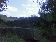 Sandstone at Collyhurst Quarry
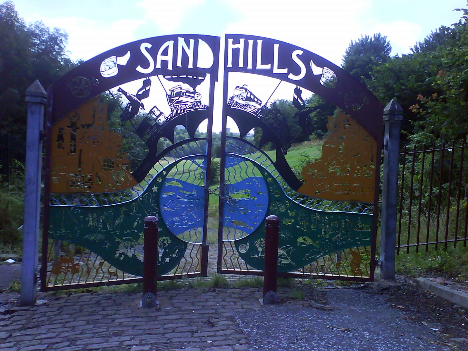
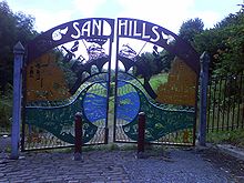 Entrance to Sandhills
Much of the red sandstone used for building in Manchester and the surrounding area, including the stone for the Roman fort at Castlefield, St Ann's Church, the roof of the Collegiate Church and the original buildings of Chetham's Hospital, came from Collyhurst Quarry.[3] Geologists use the term Collyhurst Sandstone for this type of soft red sandstone, which occurs in north-west England.[4] It is a fine to medium grained sedimentary rock, created from desert sands blown into dune formations during the Early Permian period, when the area which now constitutes the British Isles occupied a location within the desert belts to the north of the equator. The rock is not very resistant to weathering and erosion and disintegrates relatively quickly. The quarry was mentioned by John Leland in the description of Manchester in his book. The Itinerary of John Leland in or about the years 1535 to 1543, saying that there was " a goodly quarre hard by the towne".[5] The stone was transported the short distance into Manchester by river on barges or rafts.[3] The quarry is now disused and the area around it has been turned into a park called "Sandhills"[6] as part of Manchester City Council's Irk Valley Project.[7][8]
Churches
There are now two Roman Catholic churches in Collyhurst, St Patrick's and St Malachy's. There was once also St Edmund's in Monsall Street (architect P. P. Pugin, 1894). The three former Anglican churches have been demolished since they were described by Nikolaus Pevsner in The Buildings of England; Lancashire; I, 1969. The oldest was St Oswald's in Rochdale Road in the Gothic of the 13th century, the architect was E. H. Shellard; the east end was spectacularly picturesque and there was a steeple designed by John Lowe. Lowe was also the architect of the two other churches, the Albert Memorial Church in Queens Road, 1864, a red brick building with a northwest tower topped by a spire; and St James's in Teignmouth Street, 1874 (this had a steeple at the northwest corner, a porch on the southwest, and a polygonal apse). The Union Chapel, Queen's Park, was designed by R. Moffat Smith and has a low turreted tower.[9]
Monuments and buildings
War memorial
There is a memorial on Rochdale Road next to what used to be Collyhurst Flats, erected by public subscription and unveiled by the Rt. Hon. Earl of Derby KG (Secretary of State for War) on 23 May 1923 to commemorate British servicemen who died during the First World War.
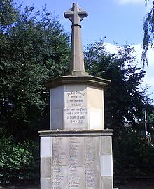 Collyhurst War Memorial
Popular music
For a brief period in the mid 1970s, The Electric Circus, a run down venue on Collyhurst Street (formerly the Palladium variety club), found itself at the centre of Manchester's punk rock scene. It played host to bands such as the Sex Pistols, The Jam, Joy Division—then known as Warsaw—The Buzzcocks, Slaughter and the Dogs and The Clash's "White Riot" tour before its closure in 1977. It has now been demolished.
Notable people
Although the area is one of the poorest in the city, it has been home to a number of sport stars and entertainers, including:
- Jim Allen, British playwright (The Spongers)
- Pat Barrett, former British/European light welterweight boxer
- Stan Bowles, former England and QPR footballer
- Jackie Brown, former world champion flyweight boxer
- Les Dawson, British comedian
- Harry Fleming, former boxing manager to Johnny King, Jackie Brown and Jock McAvoy[citation needed]
- Michael Gomez, Irish born super featherweight boxer
- Bruce Jones, British actor
- Brian Kidd, former England, Manchester United, Arsenal and Manchester City footballer
- Johnny King, former British and Empire bantamweight champion[citation needed]
- Carlo Sartori, former Manchester United footballer
- Jack Smethurst, British actor
- Nobby Stiles, former Manchester United and World Cup winning footballer
References
- ^ "Irk Valley Junction 1953". Danger Ahead! – Historic Railway Disasters. http://danger-ahead.railfan.net/gallery/irk_valley.html. Retrieved 2007-12-12.
- ^ http://www.guardian.co.uk/news/datablog/2011/mar/29/indices-multiple-deprivation-poverty-england#zoomed-picture
- ^ a b see Building stone in the city of Manchester: St Ann's Church Accessed on 2008-07-25
- ^ British Geological Survey: Collyhust Sandstone Formation Accessed on 2008-07-25
- ^ Bradshaw, L. D. (1987). Visitors to Manchester: a selection of British and foreign visitors’ descriptions of Manchester from c. 1538 to c. 1865. Radcliffe: Neil Richardson. p. 8. ISBN 1852160039.
- ^ The Irk Valley:Sandhills Retrieved on 2008-07-26
- ^ Building stone in the city of Manchester: Collyhurst Quarry Accessed on 2008-07-25
- ^ "Irk Valley". Manchester City Council. http://www.manchester.gov.uk/site/scripts/services_info.php?serviceID=2172.
- ^ Pevsner, N. (1969) Lancashire; I: the industrial and commercial south (The Buildings of England.) Harmondsworth: Penguin; . 315-17
The City of Manchester About Manchester Architecture · (Tallest buildings · Grade I buildings) · Cuisine · Culture · Economy · History · Media · (Television programmes) · Music · (Pop music) · People · Politics · Science · Sociology · Sport · Streets · Symbols · TransportDistricts Ancoats · Ardwick · Ardwick Green · Baguley · Belle Vue · Benchill · Beswick · Blackley · Bradford · Burnage · Castlefield · Cheetham Hill · Chinatown · Chorlton-cum-Hardy · Chorlton-on-Medlock · Chorltonville · City Centre · Clayton · Collyhurst · Crumpsall · Didsbury · Fallowfield · Gay Village · Gorton · Harpurhey · Hulme · Levenshulme · Longsight · Lower Crumpsall · Miles Platting · Moss Side · Moston · Newall Green · New Islington · New Moston · Newton Heath · Northenden · Northern Moor · Northern Quarter · Openshaw · Peel Hall · Piccadilly Village · Ringway · Rusholme · Sharston · Spinningfields · Whalley Range · Withington · Woodhouse Park · WythenshaweCategories:- Districts of Manchester


Wikimedia Foundation. 2010.