- Massachusetts Route 35
-
Route 35
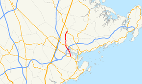
Route information Length: 5.8 mi[1] (9.3 km) Major junctions South end:  Route 114 in Peabody
 Route 128 in Danvers
 Route 62 in Danvers
North end:  Route 97 in Topsfield
Highway system Massachusetts State Highway Routes
←  Route 33
Route 36  →
→Route 35 is a Massachusetts State Route running through the towns of Danvers and Peabody in northeastern Massachusetts.
Route description
Route 35 begins at Route 114 in Peabody, as that route turns left off the right-of-way towards Route 128 and the Northshore Mall. After passing Bishop Fenwick High, Route 35 enters Danvers in the Danversport section of that town. It crosses the Waters River and Crane River before making a left turn, crossing under Route 128 at Exits 23 North & South. The road goes through downtown Danvers before turning northward, intersecting Route 62. It heads through the Putnamville section of Danvers, passing the Putnamville Reservoir (also known as the Beverly & Danvers Reservoir) before finally ending just yards over the Topsfield and Wenham town lines at Route 97.
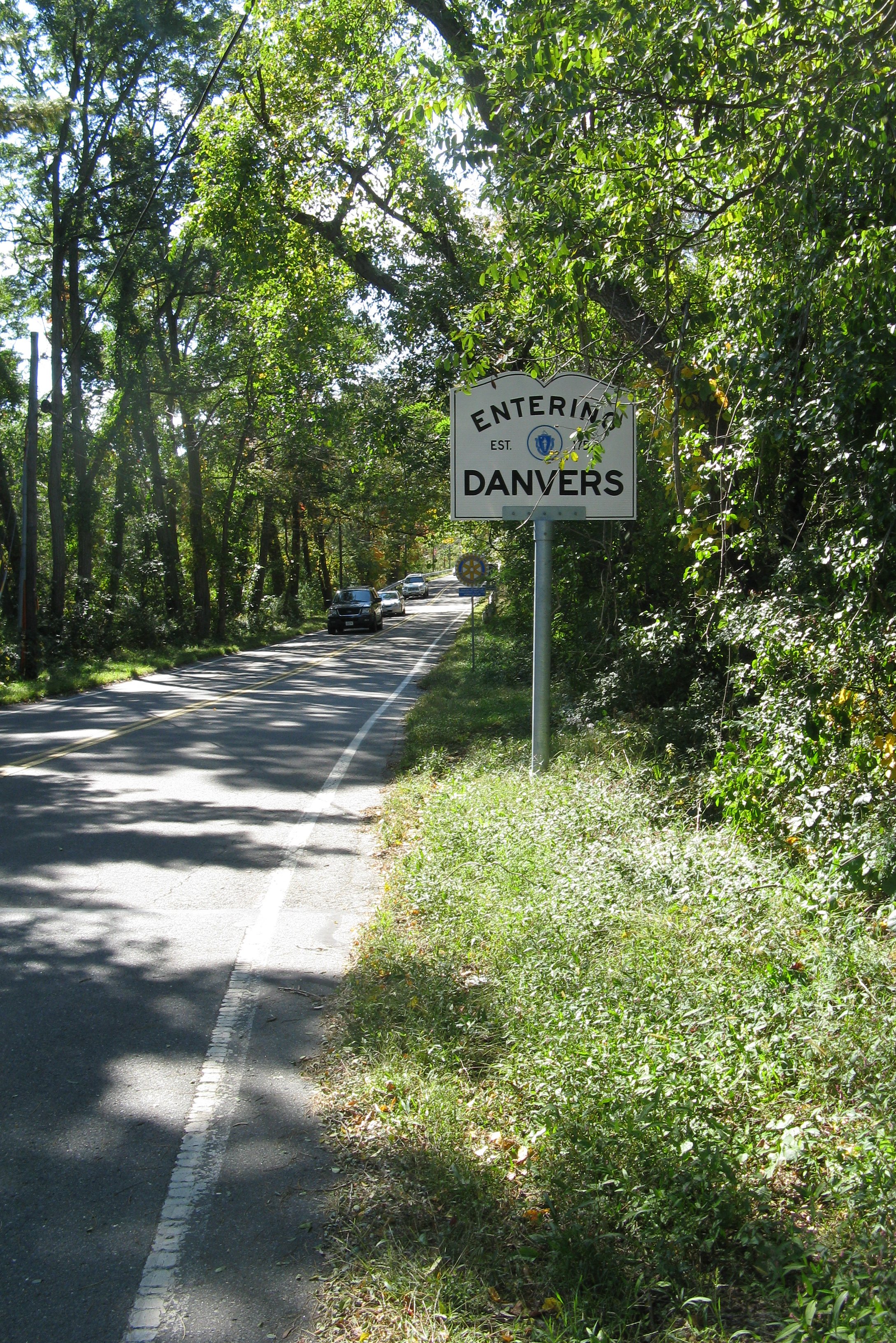
 Route 35 entering Danvers, just south of its northern end.
Junction list
County Location Mile Roads intersected Notes Essex Peabody 0.0 Route 114Southern terminus of Route 35. Danvers 0.7 Waters River bridge 1.2 Crane River bridge 1.7 Route 128 NorthAccess to 128 North via Florence Street 1.8 Route 128 SouthAccess from 128 South via Milton Road. 2.7 Route 62Topsfield 5.8 Route 97Northern terminus of Route 35. References
Categories:- Numbered routes in Massachusetts


Wikimedia Foundation. 2010.