- Massachusetts Route 36
-
Route 36
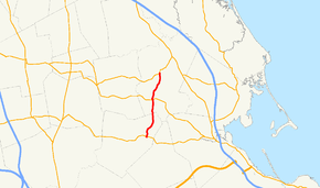
Route information Length: 5.44 mi[1] (8.75 km) Major junctions South end:  Route 106 in Halifax
North end:  Route 14 in Pembroke
Highway system Massachusetts State Highway Routes
←  Route 35
Route 37  →
→Route 36 is a short south–north highway in southeastern Massachusetts.
Route description
From its terminus at Route 106 in Halifax, Route 36 abuts the eastern shore of East Monponsett Pond. The highway then crosses the MBTA Commuter Rail at Halifax Station. The highway runs near Silver Lake to the west and crosses Route 27 before ending at Route 14 just south of Pembroke Center.
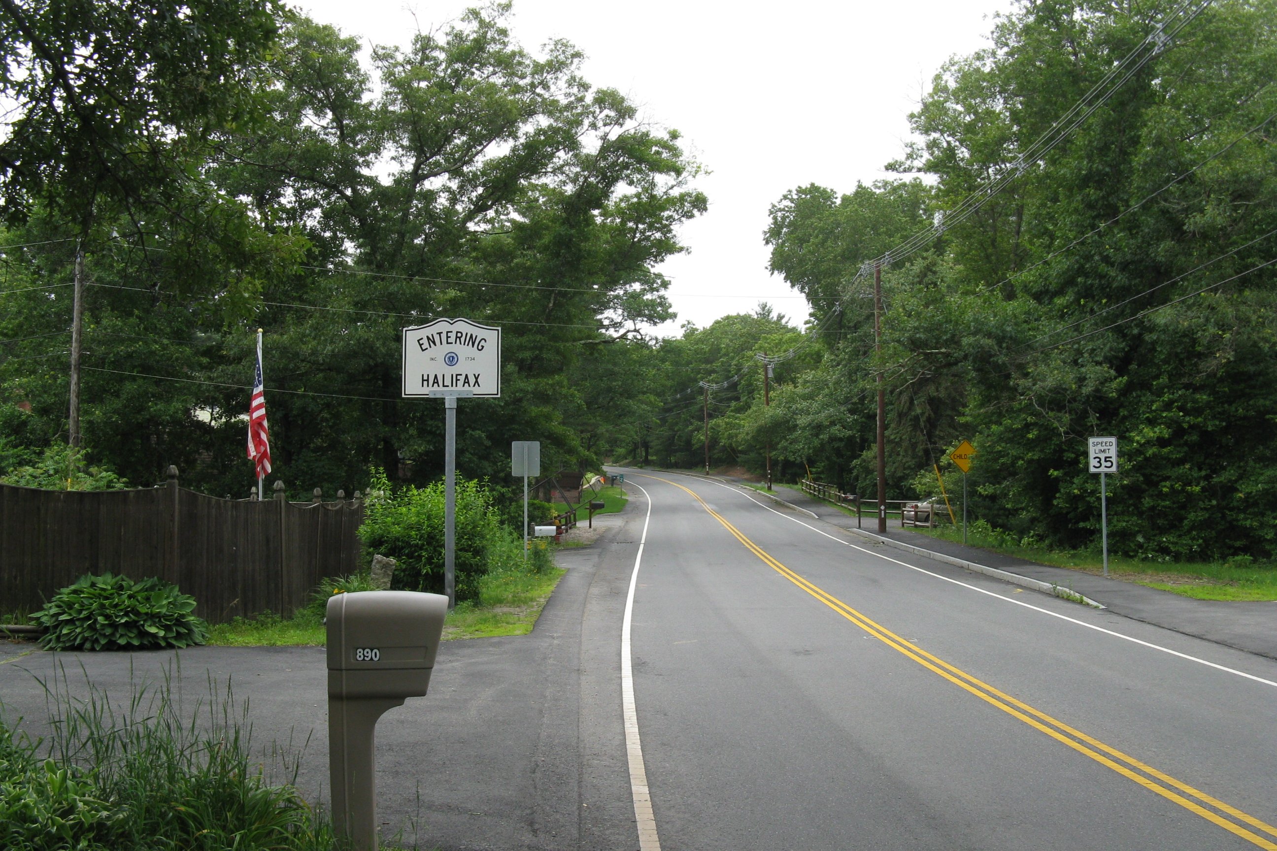
 Rte. 36 southbound entering Halifax
Junction list
The entire highway is located in Plymouth County, Massachusetts.
Location Road Names Milepost Roads Intersected Notes Halifax Holmes Street 0.00 Route 106Southern terminus of Route 36. Pembroke Center Street 3.2  Route 27
5.44 Route 14Northern terminus of Route 36.
To Route 53 via Route 14 east.
References
Categories:- Numbered routes in Massachusetts
- Halifax, Massachusetts
- Pembroke, Massachusetts
- Transportation in Plymouth County, Massachusetts
- Massachusetts road stubs


Wikimedia Foundation. 2010.