- Massachusetts Route 33
-
Route 33
Route information Length: 5.54 mi[1] (8.92 km) Existed: ca. 1946 – present Major junctions South end:  Route 141 in Chicopee
 I-90 in Chicopee
 U.S. Route 202 in South Hadley
North end:  Route 116 in South Hadley
Highway system Massachusetts State Highway Routes
←  Route 32A
Route 35  →
→Route 33 is a state highway contained entirely within the city of Chicopee and the town of South Hadley in Massachusetts.
Route description
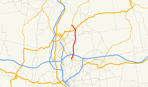
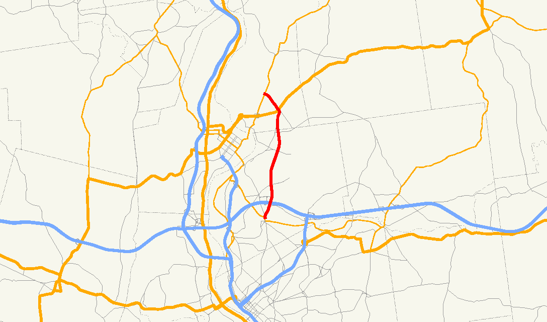
Route 33 begins at Route 141 just north of the Chicopee River in the Chicopee Falls section of the city. It crosses under the Massachusetts Turnpike, with the entrance ramps for Exit 5 just north of this. It passes west of Westover Joint Air Reserve Base before entering the town of South Hadley. Once in South Hadley, the road crosses U.S. Route 202, which leads westward towards Holyoke, as it turns northeast, ending at Route 116, the street itself continuing as Lyman Street.
Junction list
County Location Mile Roads intersected Notes Hampden Chicopee 0.00 Route 141Southern terminus of Route 33. 0.9 I-90/Mass PikeMass Pike Exit 5. Hampshire South Hadley 4.6 U.S. Route 2025.54 Route 116Northern terminus of Route 33.
To Route 47, via Route 116 North.
References
- ^ Executive Office of Transportation, Office of Transportation Planning - 2007 Road Inventory
Categories:- Numbered routes in Massachusetts

Wikimedia Foundation. 2010.