- Mount Pleasant, St. Louis
-
Mount Pleasant
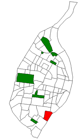
Neighborhoods of St. Louis, MissouriGovernment Country United States State Missouri City St. Louis Wards 9, 11, 25 Statistics Total area 0.60 sq mi (1.6 km2) Population (2010) 4,408[1] Density 7,346 /sq mi (2,836 /km2) Miscellaneous ZIP code(s) Part of 63111 Area code(s) 314 Website http://stlouis.missouri.org/mountpleasant/ Location Location of Mount Pleasant within St. Louis. Mount Pleasant is a neighborhood of St. Louis, Missouri. The neighborhood's boundaries are defined by Virginia Avenue on the west, the Mississippi River on the east, Meramec Street on the north, and Delor Street on the south.
References
Coordinates: 38°34′29″N 90°14′16″W / 38.5746°N 90.2379°W
Categories:- Neighborhoods in St. Louis, Missouri
- Saint Louis City, Missouri geography stubs
Wikimedia Foundation. 2010.

