- DeBaliviere Place, St. Louis
-
DeBaliviere Place
Neighborhoods of St. Louis, MissouriGovernment Country United States State Missouri City St. Louis Wards 26, 28 Statistics Total area 0.32 sq mi (0.83 km2) Population (2010) 3,466[1] Density 10,831 /sq mi (4,182 /km2) Miscellaneous ZIP code(s) Part of 63112 Area code(s) 314 Website http://stlouis.missouri.org/debaliviereplace/ Location 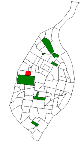
Location of DeBaliviere Place within St. Louis. DeBaliviere (Pronounced: DUH-bal-iv-ee-AIR) Place is a neighborhood of St. Louis, Missouri.
Location
The DeBaliviere Place neighborhood is bounded by Delmar Boulevard on the North, Union Boulevard on the East, Lindell Boulevard on the South, and Debaliviere Avenue on the west.
Characteristics
The DeBaliviere Place neighborhood is quite diverse in its housing stock, ranging from beautiful single family homes to upscale renovated apartments and spacious condominiums. Lindell Boulevard contains some of the most beautiful mansions in the city, overlooking lovely Forest Park. Washington Terrace, Kingsbury and Waterman Places are exquisite samples of St. Louis' unique private places, containing gorgeous 19th century houses, true architectural gems. Union Boulevard has numerous old high rise apartment buildings. The neighborhood has two private swimming pools and tennis courts for resident's recreational use.
Shops and businesses line DeBaliviere, Belt, Clara and Delmar. The MetroLink light rail system stops on DeBaliviere and on nearby Delmar. The neighborhood is across the street from Forest Park, two blocks from Washington University, right next door to the popular Central West End, and close to the Delmar Loop.
References
Coordinates: 38°39′00″N 90°16′47″W / 38.6500°N 90.2796°W
Categories:- Neighborhoods in St. Louis, Missouri
- Saint Louis City, Missouri geography stubs

Wikimedia Foundation. 2010.