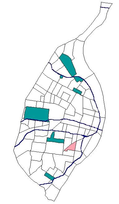
- Benton Park West, St. Louis
Infobox Settlement
official_name = Benton Park West
nickname =
motto =
image_

map_caption = Location inSt. Louis ,Missouri
subdivision_type = Neighborhood
subdivision_name = Benton Park West
established_title =
established_date =
government_type =
leader_title =
leader_name =
area_magnitude =
unit_pref = imperial
area_total_sq_mi =0.40
area_total_km2 =
area_land_sq_mi =
area_land_km2 =
area_water_sq_mi =
area_water_km2 =
population_as_of= 2000
population_footnotes = [ [http://stlcin.missouri.org/census/neighsum.cfm?theNeigh=32 Census Summary By Neighborhoods ] ]
url = http://stlcin.missouri.org/census/neighsum.cfm?theNeigh=32
title=
population_total =5438
population_density_sq_mi = 13456.7
population_density_km2 =
website = http://stlouis.missouri.org/bentonparkwest
footnotes =Benton Park West is a neighborhood located in South St. Louis City. The neighborhood is bounded by Jefferson Ave. on the east, Gravois Ave. (MO Route 30) on the north and west, and an irregular boundary consisting of Cherokee Street, S. Compton Ave., and Potomac Street to the south. [ [http://stlcin.missouri.org/nbr/neighprofile.cfm?neighnum=30 Neighborhood Data Profile for Benton Park West ] ] The neighborhood is the conglomeration of two different neighborhoods in the 1970’s, Compton Hill and Marquette-Cheorkee. Parts of these two 1970’s neighborhoods make up the current day Benton Park West. Marquette-Cherokee was bounded by Arsenal Street on the north, Bates Street on the south and Grand Boulevard on the west. Its eastern edge is the bank of the
Mississippi River .References
ee also
*
Neighborhoods of St. Louis External links
* [http://bentonparkwest.org/ Benton Park West] neighborhood website
* [http://groups.yahoo.com/group/bpwn-talk/ Interactive List Serve for the neighborhood]
Wikimedia Foundation. 2010.
