- Benton Park, St. Louis
Infobox Settlement
official_name = Benton Park
nickname =
motto =
image_
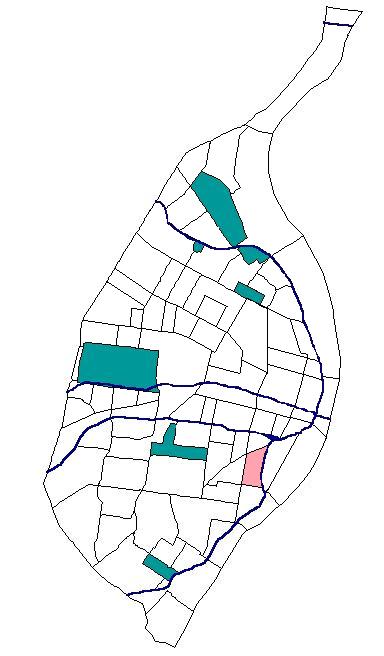
map_caption = Location inSt. Louis ,Missouri
subdivision_type = Neighborhood
subdivision_name = Benton Park
established_title =
established_date =
government_type =
leader_title =
leader_name =
area_magnitude =
unit_pref = imperial
area_total_sq_mi =0.48
area_total_km2 =
area_land_sq_mi =
area_land_km2 =
area_water_sq_mi =
area_water_km2 =
population_as_of= 2000
population_footnotes = [ [http://stlcin.missouri.org/census/neighsum.cfm?theNeigh=32 Census Summary By Neighborhoods ] ]
url = http://stlcin.missouri.org/census/neighsum.cfm?theNeigh=32
title=
population_total =3965
population_density_sq_mi = 8304.54
population_density_km2 =
website = http://stlouis.missouri.org/bentonpark
footnotes =Benton Park is a
neighborhood in easternSt. Louis , just west of Soulard. The official boundaries of the area are Gravois Avenue on the north, Cherokee Street on the south, I-55 on the east, and Jefferson Avenue on the west. [ [http://stlcin.missouri.org/nbr/neighprofile.cfm?neighnum=22 Neighborhood Data Profile for Benton Park. Accessed 15 April 2008.] ]The area now comprising Benton Park was first used as the City Cemetery. The bodies from the cemetery were moved in 1865, and the neighborhood was created on June 25, 1866 by city ordinance. [ [http://stlouis.missouri.org/neighborhoods/history/benton/park3.htm History of St. Louis Neighborhoods - Benton Park. Accessed 17 April 2008.] ] The neighborhood was later renamed after Thomas Hart Benton, a U.S. Senator from Missouri. As the neighborhood grew, it attracted several breweries due to its location above a system of caves that were ideal for beer storage. The most noteworthy of these was the
Lemp Brewery , which still stands today, although is no longer in use. [ [http://www.bentonpark.com/living/living_about_history.htm Living in Benton Park - About the History. Accessed 17 April 2008.] ]As of the census of 2000, there were 3,965 people, 1,755 households, and 858 families residing in the neighborhood, which contained 2,377 housing units. The racial makeup of the neighborhood was 55.64% White, 39.80% African American, 0.50% Native American, 0.45% Asian, 0.23% Pacific Islander, 1.19% from other races, and 2.19% from two or more races. Hispanic or Latino of any race were 3.25% of the population. [ [http://stlcin.missouri.org/census/neighsum.cfm?theNeigh=22 Summary Data for Neighborhoods (Benton Park). Accessed 15 April 2008.] ]
References
*
External links
* [http://www.bentonpark.com/ The Benton Park Neighborhood]
* [http://stlouis.missouri.org/bentonpark/ Benton Park neighborhood, St. Louis]
Wikimedia Foundation. 2010.