- Megalong Valley
-
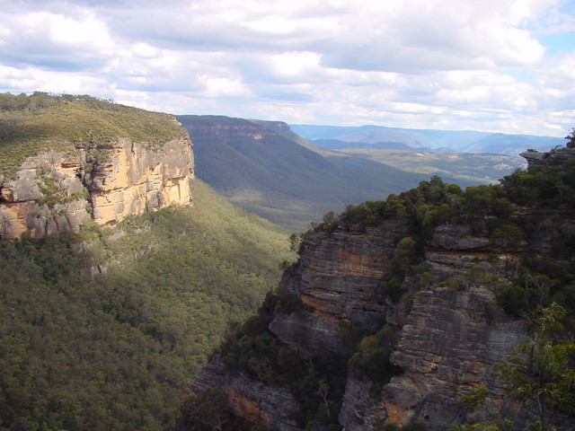
 View of Megalong Valley from near Nellies Glen on the Six Foot Track. The cliffs on the left are part of Peckmans Plateau (on the SW outskirts of Katoomba); those on the right, part of Radiata Plateau.
The Megalong Valley is part of the Blue Mountains of New South Wales, Australia. It is located west of Katoomba. On its eastern side, the valley is separated from the Jamison Valley by Narrow Neck Plateau. The Shipley Plateau overlooks part of the valley.
Description and History
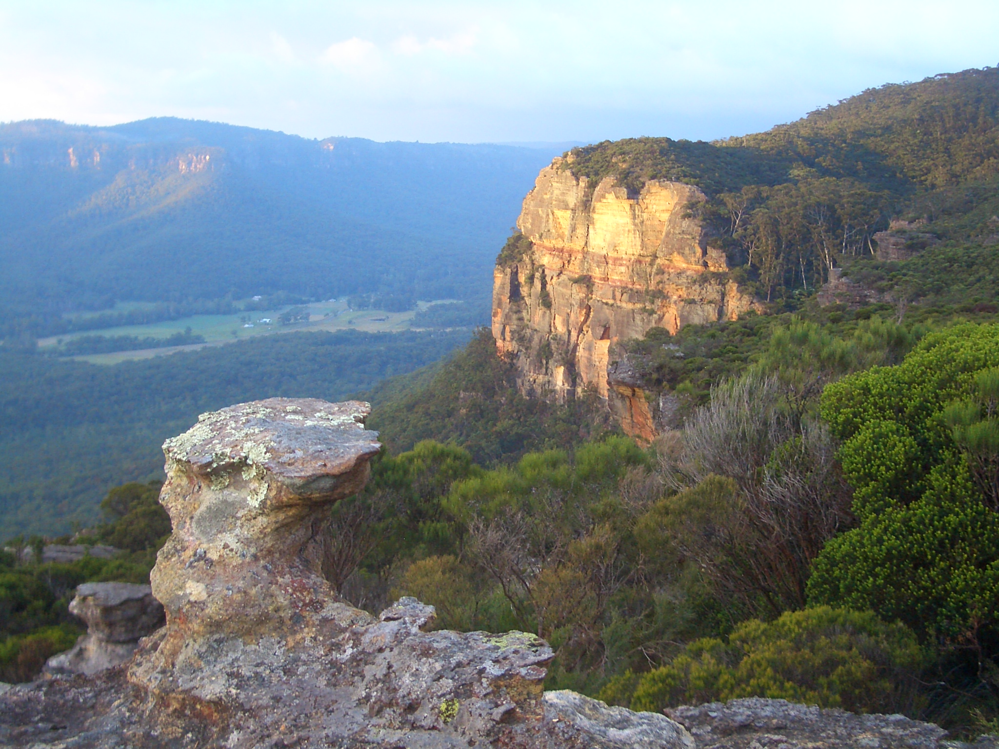
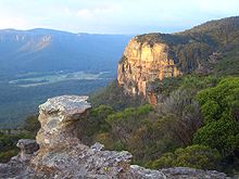 Looking from Megalong Head, across the north-western section of Megalong Valley
The name Megalong Valley is derived from an Aboriginal word thought to mean 'Valley Under The Rock'. The first record of a European coming to the valley was of Thomas Jones, a natural history specimen collector, who followed the course of Coxs River from Burragorang to Hartley, New South Wales in 1818. The first land was taken up in 1838, by settlers who travelled from Burragorang and Camden, New South Wales. Later in the 19th century, a shale mine was operated by one J.B.North. He named a nearby glen after his daughter Nellie and it is still known as Nellies Glen today.[1] The shale mine eventually went the way of all shale mines because they were not viable in the long run.
Today the valley is still used for farming, but tourism has increased since the historic Six Foot Track was restored. This track was marked out in the 19th century as a bridle trail from Katoomba to Jenolan Caves. It was called the Six Foot Track because it had to be that wide in order to accommodate two to three riders riding abreast[citation needed]. It fell into disuse eventually but was restored more recently as a walking trail by the Department of Lands. It begins at the Explorers Tree at Katoomba, goes down through Nellies Glen and across the Megalong Valley to Coxs River. On the other side of the river, the trail crosses some ranges before reaching Jenolan Caves Road. It then heads south to finish at Jenolan.[2]
See also
References
Coordinates: 33°44′00″S 150°15′00″E / 33.7333333°S 150.25°E
Blue Mountains topics Towns, suburbs
& localitiesBell • Berambing • Bilpin • Blaxland • Blackheath • Bullaburra • Faulconbridge • Glenbrook • Hartley Vale • Hazelbrook • Katoomba • Kings Tableland • Lapstone • Lawson • Leura • Linden • Little Hartley • Medlow Bath • Megalong • Mount Irvine • Mount Riverview • Mount Tomah • Mount Victoria • Mount Wilson • North Katoomba • Shipley • Springwood • Sun Valley • Valley Heights • Warrimoo • Wentworth Falls • Winmalee • Woodford • Yellow Rock • Yosemite
Mountain peaks Mount Banks · Mount Bindo · Mount Boyce · Mount Hay · Mount Irvine · Mount Piddington · Mount Solitary · Mount Trickett · Mount Wilson · Mount York · Narrow Neck PlateauTourist attractions Valleys Waterfalls Wentworth FallsHistory National Parks Miscellaneous Categories:- Blue Mountains, New South Wales
- New South Wales geography stubs
Wikimedia Foundation. 2010.