- Nisargadhama
-
 Cauvery Nisargadhama Area
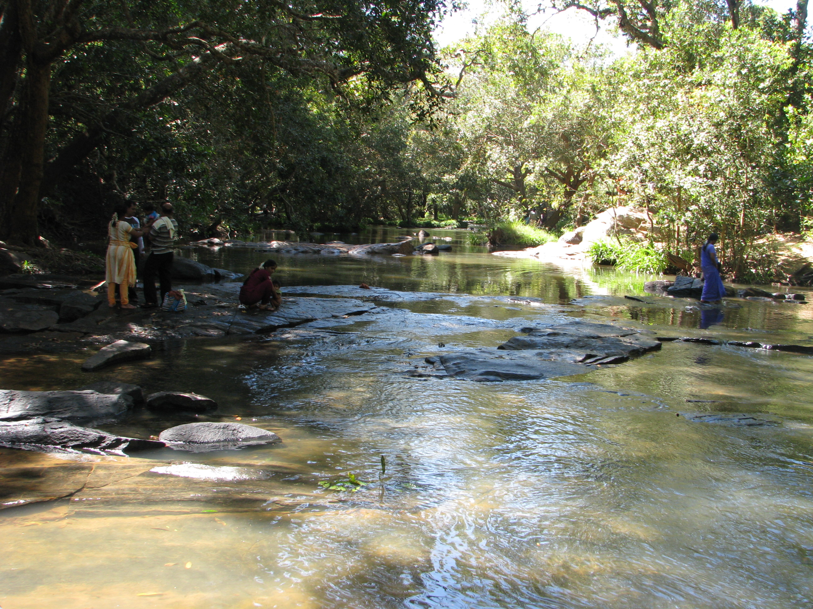
Kaveri Nisargadhama is an island formed by river Kaveri and is used as a picnic spot near Kushalnagar in the district of Kodagu in Karnataka. It is approximately 3 km (1.9 mi) from Kushalanagara, off the State Highway and 30 km (19 mi) from Madikeri and 95 km (59 mi) from Mysore. It is a holiday destination in Karnataka.[1]
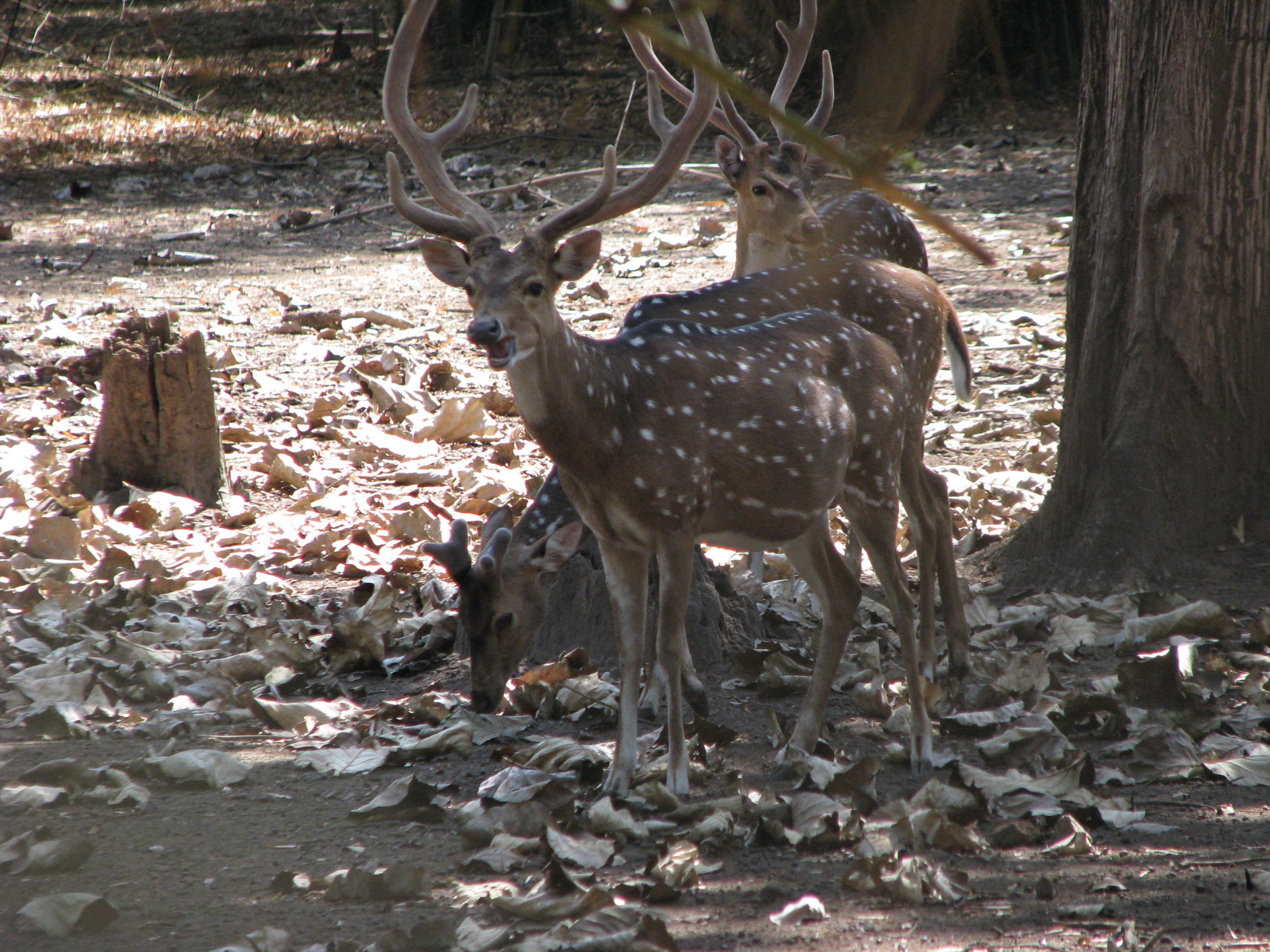
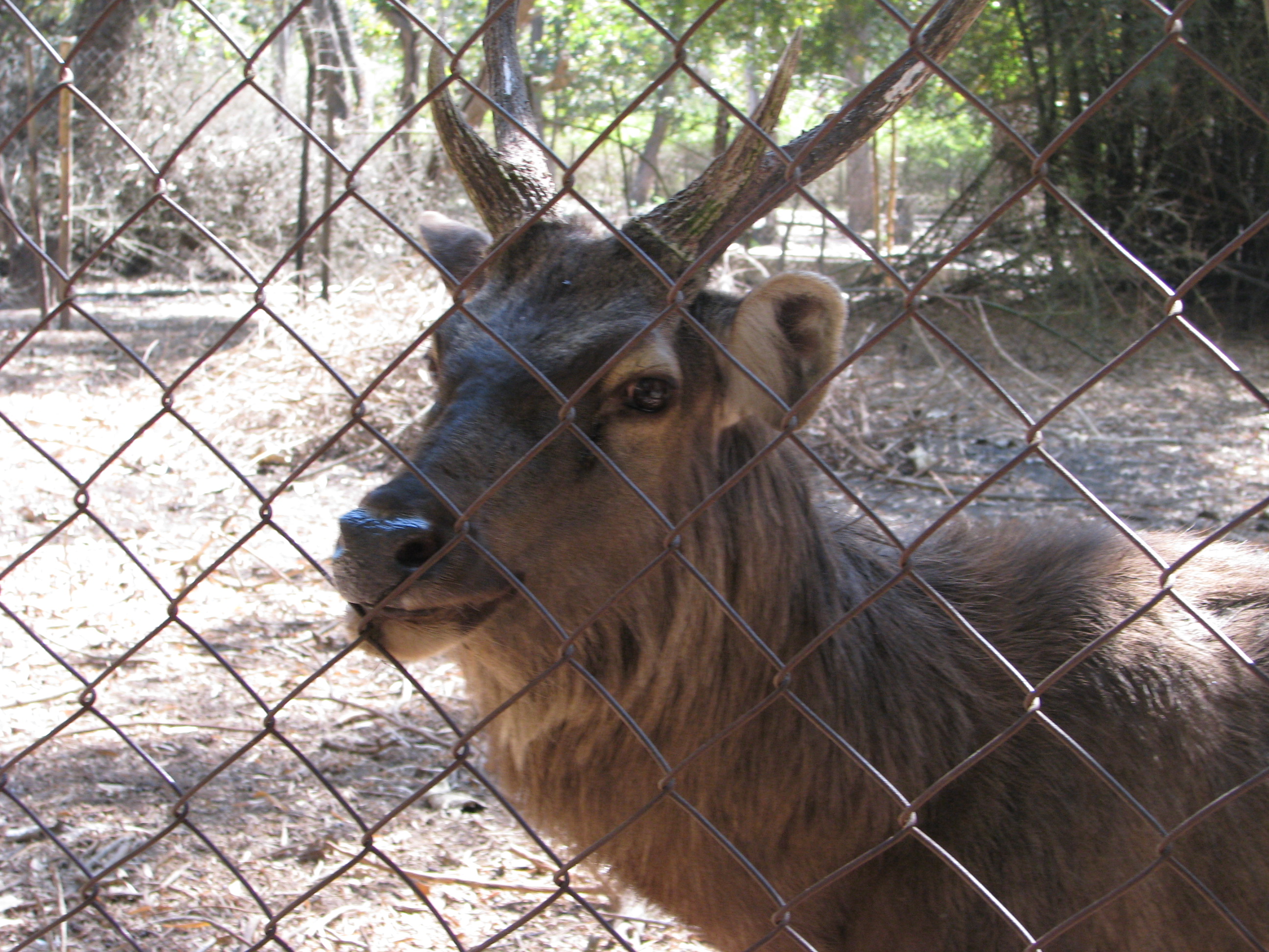
It is a 64-acre (260,000 m2) island[2][3], with lush foliage of thick bamboo groves, sandalwood and teak trees and surrounded by the Kaveri river. The island is accessible through a hanging rope bridge. There are deer, rabbits, peacocks, and a children's playground and orchidarium.
 Nisargadhama Hanging Bridge
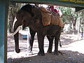
Visitors are allowed to get into water at a few shallow and safe points along the river. Elephant rides and boating are some of the other attractions. It also has a forest department run guest house and treetop bamboo cottages.
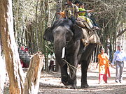 Elephant ride at Nisargadhama
References
-
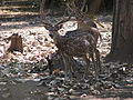
Deer Park of Nisargadhama
-

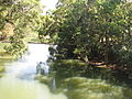
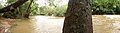
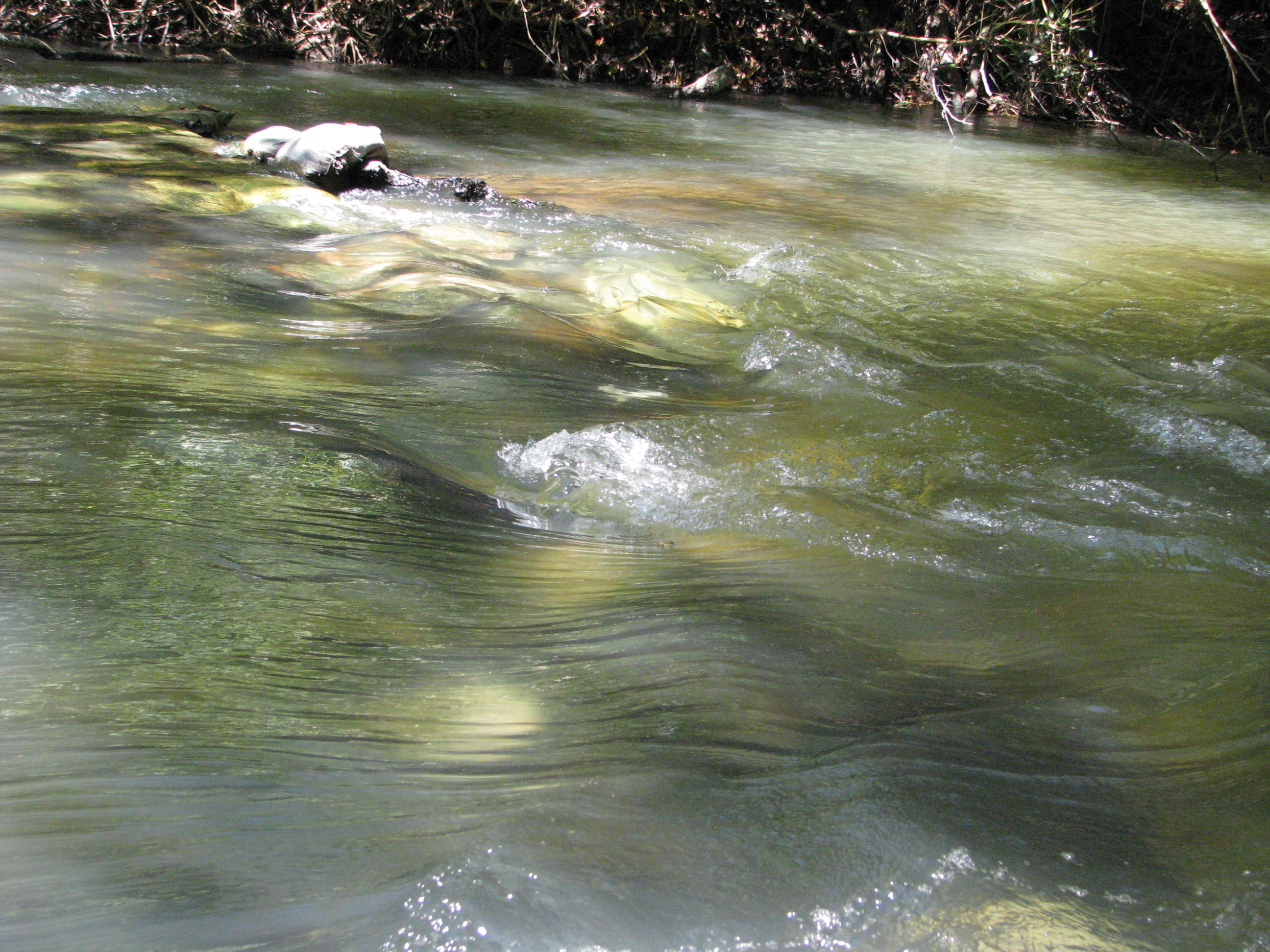
Cauvery flowing around Nisargadhama island
-
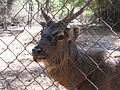
Deer at the Park
-

Rabbit Park
-
Mounting Point for Tourists for Elephant ride.
-

Another Deer at the park
-
Nisargadhama Old Bridge
-
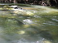
Shallow waters of Kaveri at Nisargadhama
-

Panoramic View of Park
-
panorama of the River
External links
- http://www.karnatakatourism.com/hill/madikeri/ndhama.htm
- http://www.my-kannada.com/tour/cauvery-nisargadhama-kushalnagar/index.shtml
- http://www.coorgtourisminfo.com/Nisarga.asp
- http://www.malnadu.com/content/view/175/84/
Kaveri Tributaries Dams Banasura Sagar · Bangara Doddi Nala · Grand Anicut · Krishna Raja Sagara · Madadkatte · Mettur Dam · Stanley ReservoirFeatures Cities and towns Bhagamandala · Bhavani · Chidambaram · Erode · Karaikal · Karur · Kodumudi · Kodagu · Kudavasal · Kumbakonam · Kushalanagara · Mannargudi · Mandya · Mayiladuthurai · Mettur · Mysore · Nagapattinam · Nannilam · Papanasam · Puhar · Peralam · Sakleshpur · Sikkal · Sirkali · Srirangam · Srirangapatna · Swamimalai · Talakad · Talakaveri · Thanjavur · Tharangambadi · Thirunallar · Thiruvaiyaru · Thiruvarur · Thiruveezhimizhalai · Tiruchirapalli · VaitheeswarankoilRiparian states
and territoriesKodagu (Coorg) topics Geography Society Towns Tourism Abbey Falls · Bhagamandala · Dubare · Honnamana Kere · Irupu Falls · Mallalli Falls · Nagarhole National Park · Nisargadhama · Pushpagiri Wildlife Sanctuary · Talakaveri · Harangi ReservoirPeople K.M. Cariappa · K.S. Thimayya · Rohan Bopanna · Arjun Halappa · Robin Uthappa · Gundu Rao · C.B. Muthamma · Prema Cariappa · M.P. Ganesh · B.P. Govinda · Ashwini Nachappa · Prema · Prasad Bidapa · Nikhil Chinnappa · N. Ponnappa · Biddu Appaiah · Joshna Chinappa · Len AiyappaCategories:- Tourism in Karnataka
- Islands of Karnataka
- Kaveri River
-


Wikimedia Foundation. 2010.