- Nompatelize
-
Nompatelize

 NompatelizeLocation within Lorraine region
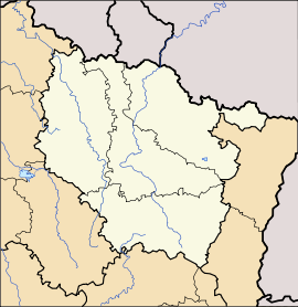 Nompatelize
Administration Country France Region Lorraine Department Vosges Arrondissement Saint-Dié-des-Vosges Canton Raon-l'Étape Intercommunality Association of the Ban d'Étival communes Mayor Didier Barret
(2008–2014)Statistics Elevation 301–520 m (988–1,710 ft)
(avg. 372 m/1,220 ft)Land area1 6.91 km2 (2.67 sq mi) Population2 573 (2006) - Density 83 /km2 (210 /sq mi) INSEE/Postal code 88328/ 88470 1 French Land Register data, which excludes lakes, ponds, glaciers > 1 km² (0.386 sq mi or 247 acres) and river estuaries. 2 Population without double counting: residents of multiple communes (e.g., students and military personnel) only counted once. Coordinates: 48°19′33″N 6°51′13″E / 48.3258333333°N 6.85361111111°E
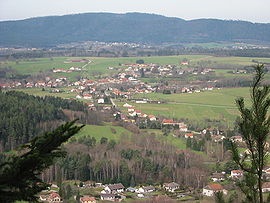
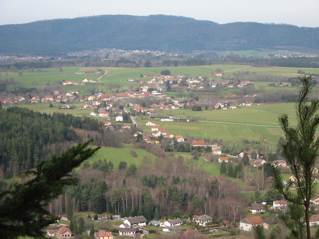
Nompatelize is a commune in the Vosges department in Lorraine in northeastern France.
Inhabitants from well established local families are known as hauts-banais or hautes-banaises according to gender. This is a reference to the hilly territory in which the village is located and which at one time was owned by the Abbey of nearby Étival. 'Ban' is an old word for a territory while 'haut' (high) is a reference to the uneven topography.
Geography
The commune occupies an ancient volcanic plateau which has been coated at the edges with Permian sandstone deposits which become thicker to the south and east in the Permian basin of Saint-Dié.
The commanding position of the little plateau, between the valleys of the Meurthe and of the Valdange provides remarkable views towards Raon-l'Étape and Saint-Dié-des-Vosges respctively to the north and to the east, accessible to motorists travelling along the departmental road RD32 which connects Saint-Dié with the Haut du Bois Pass and the road to Rambervillers.
A principal source of employment is a car parts plant owned by the Faurecia company.
See also
References
Categories:- Communes of Vosges
- Vosges geography stubs


Wikimedia Foundation. 2010.