- Maxey-sur-Meuse
-
Maxey-sur-Meuse

 Maxey-sur-MeuseLocation within Lorraine region
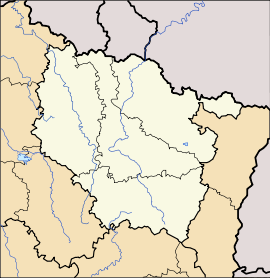 Maxey-sur-Meuse
Administration Country France Region Lorraine Department Vosges Arrondissement Neufchâteau Canton Coussey Intercommunality Association of Neufchâteau Country communes Mayor Claude Fauvet
(2001–2008–2014)Statistics Elevation 265–428 m (869–1,404 ft)
(avg. 269 m/883 ft)Land area1 10.77 km2 (4.16 sq mi) Population2 271 (2006) - Density 25 /km2 (65 /sq mi) INSEE/Postal code 88293/ 88630 1 French Land Register data, which excludes lakes, ponds, glaciers > 1 km² (0.386 sq mi or 247 acres) and river estuaries. 2 Population without double counting: residents of multiple communes (e.g., students and military personnel) only counted once. Coordinates: 48°27′06″N 5°41′54″E / 48.4516666667°N 5.69833333333°E
Maxey-sur-Meuse is a commune in the Vosges department in Lorraine in northeastern France.
Confusingly, the similarly named commune of Maxey-sur-Vaise in the adjacent Meuse département is only 10 kilometres (6 mi) away, to the north.
Geography
Maxey-sur-Meuse is positioned in the north-west of the Vosges département, on the departmental frontier with the Meuse département. Neufchâteau is 13 kilometres (8 mi) away to the south. To the north east are Toul (34 kilometres / 21 miles) and Nancy (51 kilometres / 33 miles). Maxey is across the river from a road junction where traffic bound for Commercy continues in a northerly direction (RD964) while traffic for Bar-le-Duc turns to the north-west (RD966)
The (here relatively small) Meuse River flows through Maxey where it is joined by the waters from the Vair River and three smaller streams, the Roises, the Vau and the Blanchonrupt. The presence of all these water courses makes the village popular with anglers.
See also
References
Categories:- Communes of Vosges
- Vosges geography stubs


Wikimedia Foundation. 2010.