- Montmotier
-
Montmotier

 MontmotierLocation within Lorraine region
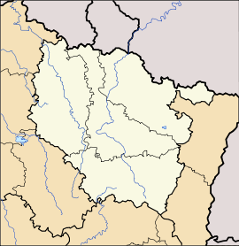 Montmotier
Administration Country France Region Lorraine Department Vosges Arrondissement Épinal Canton Bains-les-Bains Intercommunality Association of Vôge Valley communes Mayor Jean-Pierre Poirot
(2008–2014)Statistics Elevation 247–309 m (810–1,014 ft) Land area1 4.24 km2 (1.64 sq mi) Population2 56 (2006) - Density 13 /km2 (34 /sq mi) INSEE/Postal code 88311/ 88240 1 French Land Register data, which excludes lakes, ponds, glaciers > 1 km² (0.386 sq mi or 247 acres) and river estuaries. 2 Population without double counting: residents of multiple communes (e.g., students and military personnel) only counted once. Coordinates: 47°58′27″N 6°10′37″E / 47.9741666667°N 6.17694444444°E
Montmotier is a commune in the Vosges department in Lorraine in northeastern France.
Geography
The Côney forms the commune's southern border.
See also
References
Categories:- Communes of Vosges
- Vosges geography stubs


Wikimedia Foundation. 2010.