- Moyemont
-
Moyemont

 MoyemontLocation within Lorraine region
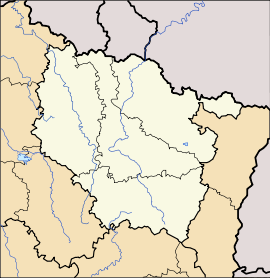 Moyemont
Administration Country France Region Lorraine Department Vosges Arrondissement Épinal Canton Rambervillers Intercommunality Association of Rambervillers Region communes Mayor Michel Pierson
(2008–2014)Statistics Elevation 274–367 m (899–1,204 ft)
(avg. 333 m/1,093 ft)Land area1 12.3 km2 (4.7 sq mi) Population2 225 (2006) - Density 18 /km2 (47 /sq mi) INSEE/Postal code 88318/ 88700 1 French Land Register data, which excludes lakes, ponds, glaciers > 1 km² (0.386 sq mi or 247 acres) and river estuaries. 2 Population without double counting: residents of multiple communes (e.g., students and military personnel) only counted once. Coordinates: 48°21′06″N 6°32′23″E / 48.3516666667°N 6.53972222222°E
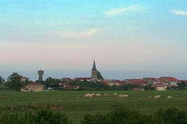
Moyemont is a commune in the Vosges department in Lorraine in northeastern France.
Contents
Geography
Moyemont is a rural commune positioned between Charmes to the west and Rambervillers some 7 kilometres (4 mi) to the east. To the south of the village, more than half of the commune's 1,230 hectares are covered by forest (le forêt de Rambervillers). Two small streams, the Habu and the ForePrays (le devant Prays), both tributaries of the Mortagne flow towards the north-east, while in the south of the commune other streams flow to the south and south-east, reflecting commune's modestly elevated topography. The village itself is at the confluence of several small roads, with a lay-out in an irregular star shape resulting. The least minor of the roads crossing the village is the Route Departmentale RD32.
History
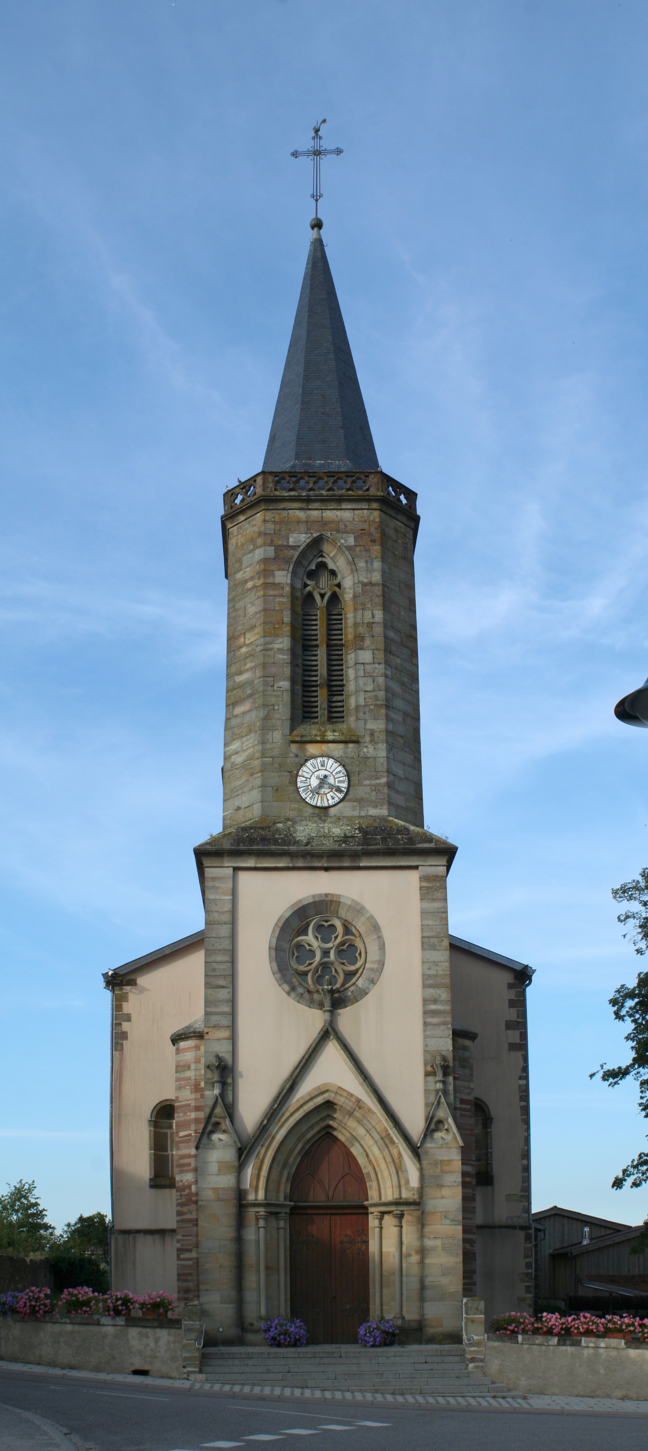
 Saint-Pierre-ès-Liens church
There is evidence of a settlement at Moyement during the Gallo-Roman period, when it was positioned along the road linking Strasbourg with Langres.
In 1114 it gets a mention in a surviving record as the Lordship of Moyemont, controlled by the Chapter of Saint-Dié. By 1751 Moyemont was listed under the bailiwick of Lunéville and in 1790 it was within the district of Épinal under the canton of Domèvre-sur-Avière. The present administrative relationships are, in most respect, based on the administrative structures created across France in the wake of the French Revolution.
commune in the Vosges department in Lorraine in northeastern France.
See also
References
Categories:- Communes of Vosges
- Vosges geography stubs


Wikimedia Foundation. 2010.