- Oëlleville
-
Oëlleville

 OëllevilleLocation within Lorraine region
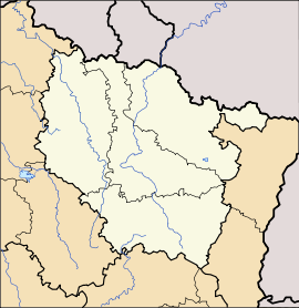 Oëlleville
Administration Country France Region Lorraine Department Vosges Arrondissement Neufchâteau Canton Mirecourt Intercommunality Association of Xaintois communes Mayor Gilbert Renault
(2008–2014)Statistics Elevation 308–391 m (1,010–1,283 ft)
(avg. 364 m/1,194 ft)Land area1 10.08 km2 (3.89 sq mi) Population2 309 (2006) - Density 31 /km2 (80 /sq mi) INSEE/Postal code 88334/ 88500 1 French Land Register data, which excludes lakes, ponds, glaciers > 1 km² (0.386 sq mi or 247 acres) and river estuaries. 2 Population without double counting: residents of multiple communes (e.g., students and military personnel) only counted once. Coordinates: 48°20′07″N 6°01′15″E / 48.3352777778°N 6.02083333333°E
Oëlleville is a commune in the Vosges department in Lorraine in northeastern France.
Inhabitants are called Oëllevillois.
Contents
Geography
The commune is positioned at the confluence of various minor roads approximately 10 kilometres (6 mi) tp the west-north=west opf Mirecourt and a slightly longr distance to the north-north-east of Vittel. Over 12% of the commune land is forested.
Tradition
The village makes a particular feature of the feast of St Nicholas on December 6. Each year a member of the community, chosen for his imposing physique and the steely firmness of his eyes, is selected to dress up as The Saint, who is accompanied by Père Fouettard (better known to some English speakers as Hans Trapp in Alsace or Zwarte Piet in Flanders) with his own bag of less welcome seasonal gifts. A procession and other seasonal gift related celebrations and rituals ensue.
See also
References
Categories:- Communes of Vosges
- Vosges geography stubs


Wikimedia Foundation. 2010.