- Meurthe River
Infobox River | river_name = Meurthe
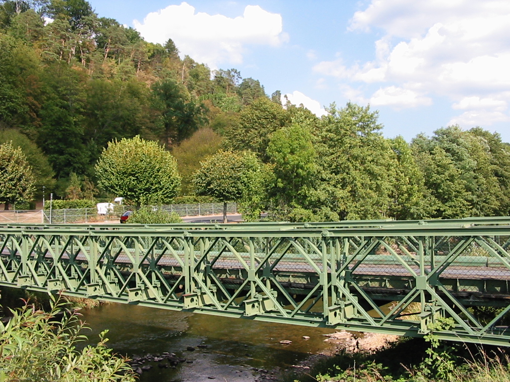
caption =Bailey bridge over the Meurthe.
origin =Vosges mountains
mouth = Moselle
coord|48|46|48|N|6|8|29|E|name=Moselle-Meurthe|display=inline,title
basin_countries =France
length = 161 km
elevation = 1190 m
discharge = 41 m³/s
watershed = 3,085 km² The Meurthe is ariver in north-easternFrance , right tributary to the river Moselle. Its source is in theVosges mountains , near theCol de la Schlucht in theVosges "département". It gave its name to the present French "département"Meurthe-et-Moselle and the former (before the change in the Franco-German border after theFranco-Prussian war of 1870) "département"Meurthe . It flows into the river Moselle in Pompey nearNancy .Towns along the river Meurthe include:
* inVosges :Fraize ,Saint-Dié-des-Vosges ,Raon-l'Étape
* inMeurthe-et-Moselle : Baccarat,Lunéville andNancy Tributaries include:
*Fave
*Rabodeau
*Plaine
*Vezouze
* Mortagne
*Sânon References
*http://www.geoportail.fr
* [http://sandre.eaufrance.fr/app/chainage/courdo/htm/A6--0100.php?cg=A6--0100 The Meurthe at the Sandre database]
Wikimedia Foundation. 2010.