- Meurthe (river)
-
Meurthe 
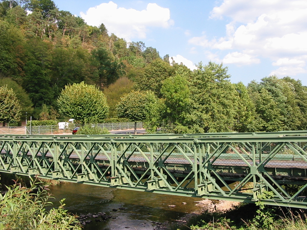
Bailey bridge over the Meurthe.Origin Vosges mountains Mouth Moselle
48°46′48″N 6°8′29″E / 48.78°N 6.14139°ECoordinates: 48°46′48″N 6°8′29″E / 48.78°N 6.14139°EBasin countries France Length 161 km Source elevation 1190 m Avg. discharge 41 m³/s Basin area 3,085 km² The Meurthe (French pronunciation: [mœʁt]) is a river in north-eastern France, right tributary to the river Moselle. Its source is in the Vosges mountains, near the Col de la Schlucht in the Vosges département. It gave its name to the present French département Meurthe-et-Moselle and the former (before the change in the Franco-German border after the Franco-Prussian war of 1870) département Meurthe.
Channelled to get across Nancy, the river joins the Moselle a short distance down-stream from the Port of Frouard, at Pompey on the northern edge of Nancy.
Towns along the river Meurthe include:
- in Vosges: Fraize, Saint-Dié-des-Vosges, Raon-l'Étape
- in Meurthe-et-Moselle: Baccarat, Lunéville and Nancy
Tributaries include:
- Fave
- Rabodeau
- Plaine
- Vezouze
- Mortagne
- Sânon
References
Tributaries of the river Moselle From the left 
From the right Moselotte | Vologne | Meurthe | Seille | Saar | Olewiger Bach | Avelsbach | Ruwer | Feller Bach | Dhron | Ahringsbach | Kautenbach | Lützbach | Flaumbach | Altlayer Bach | Baybach | EhrbachCategories:- Rivers of France
- Meurthe-et-Moselle
- Vosges
- Moselle basin
- Lorraine geography stubs
Wikimedia Foundation. 2010.