- Champlan
-
Champlan

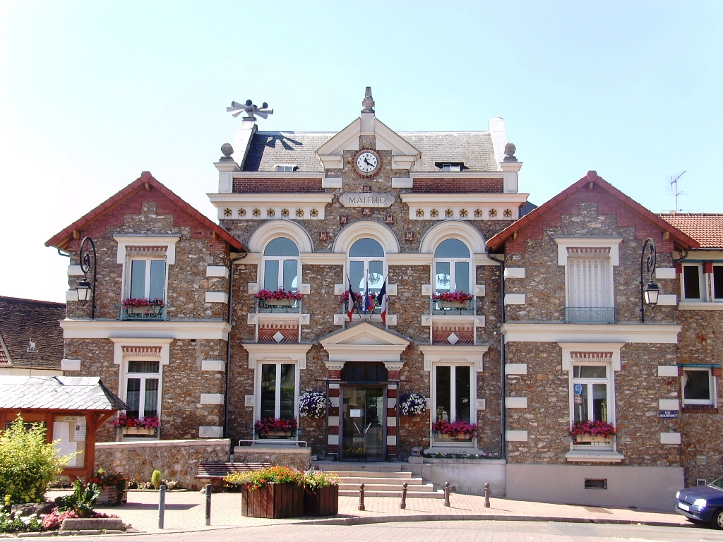
Town hall 
 ChamplanLocation within Île-de-France region
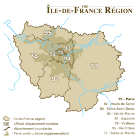 Champlan
Administration Country France Region Île-de-France Department Essonne Arrondissement Palaiseau Canton Villebon-sur-Yvette Intercommunality Europ'Essonne Mayor Christian Leclerc
(2008–2014)Statistics Elevation 43–125 m (141–410 ft) Land area1 3.68 km2 (1.42 sq mi) Population2 2,462 (2006) - Density 669 /km2 (1,730 /sq mi) INSEE/Postal code 91136/ 91160 1 French Land Register data, which excludes lakes, ponds, glaciers > 1 km² (0.386 sq mi or 247 acres) and river estuaries. 2 Population without double counting: residents of multiple communes (e.g., students and military personnel) only counted once. Coordinates: 48°42′30″N 2°16′26″E / 48.7084082°N 2.2738266°E
Champlan [ʃɑ̃plɑ̃] is a commune located 16 kilometres (10 mi) to the southwest of Paris, in the Essonne department in Île-de-France in northern France.
Although now completely enveloped in the Paris Metropolitan Area, the town has conserved its rural character in spite of its direct proximity to the capital, and thus retains its slogan of "Champlan, the meadow of Paris".
Inhabitants of Champlan are known as Champlanais.
Contents
Climate
Champlan is located in the Île-de-France, and has a Maritime climate. The annual average temperature is about 11.2 °C (52 °F), with an average maximum temperature of 14.8 °C (59 °F), and a minimum of 7.1 °C (45 °F). The maximum summer temperature (from July to August), averages around 24 °C (75 °F) and the minimum winter temperature (from January to February), averages around 1 °C (34 °F). Its climate is distinguished from that of Paris by a temperature that is on average, 2 degrees Celsius (3.8 degrees Fahrenheit) less, explained by the Urban Heat Island phenomena. The record temperatures were caused by the influence from the continental climate located to the east, reaching a high of 38.2 °C (101 °F) on 1 July 1952, and a low of -15.8 °C (4 °F) on 17 January 1985.
See also
References
- INSEE
- Mayors of Essonne Association (French)
External links
- Official website (French)
- Land use (IAU IdF) (French)
Categories:- Communes of Essonne
- Essonne geography stubs


Wikimedia Foundation. 2010.