- Jamesport, New York
Infobox Settlement
official_name = Jamesport, New York
settlement_type = CDP
nickname =
motto =
imagesize =
image_caption =
image_pushpin_
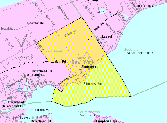
mapsize = 250x200px
map_caption =
mapsize1 =
map_caption1 =subdivision_type = Country
subdivision_name =United States
subdivision_type1 = State
subdivision_name1 =New York
subdivision_type2 = County
subdivision_name2 = Suffolk
government_footnotes =
government_type =
leader_title =
leader_name =
leader_title1 =
leader_name1 =
established_title =
established_date =area_footnotes =
area_magnitude =
area_total_km2 = 20.0
area_land_km2 = 11.5
area_water_km2 = 8.6
area_total_sq_mi = 7.7
area_land_sq_mi = 4.4
area_water_sq_mi = 3.3population_as_of = 2000
population_footnotes =
population_total = 1526
population_density_km2 = 133.2
population_density_sq_mi = 345.1timezone = Eastern (EST)
utc_offset = -5
timezone_DST = EDT
utc_offset_DST = -4
elevation_footnotes =
elevation_m = 5
elevation_ft = 16
latd = 40 |latm = 56 |lats = 40 |latNS = N
longd = 72 |longm = 34 |longs = 38 |longEW = Wpostal_code_type =
ZIP code
postal_code = 11947
area_code = 631
blank_name = FIPS code
blank_info = 36-38253
blank1_name = GNIS feature ID
blank1_info = 0953924
website =
footnotes =Jamesport is a hamlet (and
census-designated place ) in Suffolk County,New York ,United States . The population was 1,526 at the 2000 census.Geography
Jamesport is located at coor dms|40|56|40|N|72|34|38|W|city (40.944347, -72.577131)GR|1.
According to the
United States Census Bureau , the CDP has a total area of 7.7square mile s (20.0km² ), of which, 4.4 square miles (11.4 km²) of it is land and 3.3 square miles (8.6 km²) of it (42.82%) is water.History
Jamesport is named after James Tuthill who settled the area with his family in the 1630s.
During the 1960s, the Long Island Lighting Company (
LILCO ) designated land on the north shore for use as a possible second nuclear power station, in addition to its Shoreham plant, already under construction. However, when LILCO ran into opposition to Shoreham in the 1970s and 1980s, the Jamesport plan was scrapped.Demographics
As of the
census GR|2 of 2000, there were 1,527 people, 605 households, and 434 families residing in the CDP. Thepopulation density was 345.1 per square mile (133.3/km²). There were 959 housing units at an average density of 216.9/sq mi (83.8/km²). The racial makeup of the CDP was 98.03% White, 0.59% African American, 0.52% Asian, 0.13% Pacific Islander, 0.26% from other races, and 0.46% from two or more races. Hispanic or Latino of any race were 6.36% of the population.There were 605 households out of which 26.1% had children under the age of 18 living with them, 60.7% were married couples living together, 8.8% had a female householder with no husband present, and 28.1% were non-families. 24.0% of all households were made up of individuals and 11.7% had someone living alone who was 65 years of age or older. The average household size was 2.41 and the average family size was 2.88.
In the CDP the population was spread out with 20.6% under the age of 18, 5.0% from 18 to 24, 26.8% from 25 to 44, 27.7% from 45 to 64, and 19.9% who were 65 years of age or older. The median age was 43 years. For every 100 females there were 102.7 males. For every 100 females age 18 and over, there were 97.9 males.
The median income for a household in the CDP was $67,891, and the median income for a family was $80,748. Males had a median income of $41,917 versus $46,313 for females. The
per capita income for the CDP was $28,614. About 4.9% of families and 7.9% of the population were below thepoverty line , including 2.5% of those under age 18 and 7.1% of those age 65 or over.References
External links

Wikimedia Foundation. 2010.