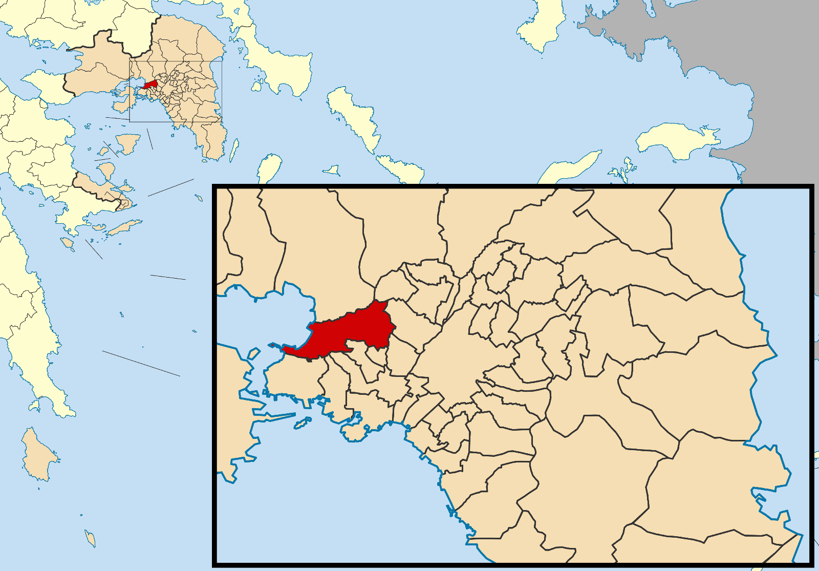
- Chaidari
-
Chaïdari
ΧαϊδάριLocation 
 Chaïdari
Coordinates 38°1′N 23°39′E / 38.017°N 23.65°ECoordinates: 38°1′N 23°39′E / 38.017°N 23.65°E Location within the region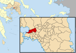
Government Country: Greece Region: Attica Regional unit: West Athens Population statistics (as of 2001) Municipality - Population: 46,276 - Area: 22.655 km2 (9 sq mi) - Density: 2,043 /km2 (5,290 /sq mi) Other Time zone: EET/EEST (UTC+2/3) Elevation (center): 95 m (312 ft) Postal: 125 xx Telephone: 210 Auto: Z Website www.haidari.gr Chaidari (Greek, modern: Χαϊδάρι, Ancient/Katharevousa: Χαϊδάριον), is a suburb in the west northwestern part of Athens, Greece. The two mountaintops of Aigaleo lies to the north and south. It is also located SE of Eleusis, S of the Attiki Odos (number 6), W of Kifissou Avenue (GR-1/E75, and Athens, NW of Poseidonos Avenue and N of Piraeus.
Contents
Geography
The eastern portion of Chaidari was mainly made up of farmlands. Pasture farming was common. Urban development replaced much of the farmlands between the 1950s and the 1980s. Today, the eastern half of the municipality is urbanized or residential. The rocky landscape of Aigaleo with a few bushes lies to the north and northwest. The pine forests of Dafni along with a monastery and a forest park lie to the west and the southwest.
History
Concentration camp
The Haidari concentration camp (Greek: στρατόπεδο συγκέντρωσης Χαϊδαρίου, stratópedo syngéntrosis Chaidaríou, German: KZ Chaidari) was a concentration camp operated by the German Schutzstaffel in Haidari during the Axis Occupation of Greece from September 1943 to September 1944.
The camp is now a monument to the Greek Resistance.
Sights of Interest
- Daphni Monastery
- Palataki Tower
- Diomideios Botanical Garden
See also
- Haidari FC
Historical population
Year Municipal district Municipality 1981 - 47,396 1991 44,831 47,437 2001 45,227 46,276 References
External links

Aspropyrgos Petroupoli Gulf of Eleusis 
Peristeri  Chaidari

Perama Keratsini, Nikaia, Korydallos, and Agia Varvara Aigaleo Administrative division of the Attica Region Area: 3,808km² • Population: 3,761,810 (2001) • Capital: Athens Regional unit of Central AthensAthens • Dafni–Ymittos • Filadelfeia–Chalkidona • Galatsi • Ilioupoli • Kaisariani • Vyronas • Zografou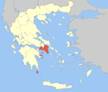 Agia Paraskevi • Amarousio • Chalandri • Filothei–Psychiko • Irakleio • Kifisia • Lykovrysi–Pefki • Metamorfosi • Nea Ionia • Papagou–Cholargos • Penteli • VrilissiaRegional unit of West AthensRegional unit of South AthensAgios Dimitrios • Alimos • Elliniko–Argyroupoli • Glyfada • Kallithea • Moschato–Tavros • Nea Smyrni • Palaio FaliroRegional unit of PiraeusAcharnes • Dionysos • Kropia • Lavreotiki • Marathon • Markopoulo • Oropos • Paiania • Pallini • Rafina–Pikermi • Saronikos • Spata–Artemida • Vari–Voula–VouliagmeniRegional unit of Islands
Regional governor: Ioannis Sgouros (el) • Website: www.patt.gov.gr Categories:- Municipalities of Attica
- Populated places in West Athens


Wikimedia Foundation. 2010.