- Drechterland
-
Drechterland — Municipality — 
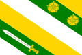
Flag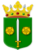
Coat of arms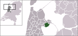
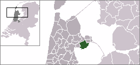
Coordinates: 52°42′N 5°12′E / 52.70°N 5.20°ECoordinates: 52°42′N 5°12′E / 52.70°N 5.20°E Country Netherlands Province North Holland Area(2006) - Total 80.72 km2 (31.2 sq mi) - Land 59.17 km2 (22.8 sq mi) - Water 21.55 km2 (8.3 sq mi) Population (1 January, 2007) - Total 18,587 - Density 314/km2 (813.3/sq mi) Source: CBS, Statline. Time zone CET (UTC+1) - Summer (DST) CEST (UTC+2) Website www.drechterland.nl Drechterland (
 pronunciation (help·info)) is a municipality in the Netherlands, in the province of North Holland and the region of West-Frisia. The municipality was formed in 1979, in a merger of the former municipalities of Hoogkarspel, Westwoud en Oosterblokker. Its original name, Bangert, was changed to "Drechterland" in 1980. In 2006, the former municipality of Venhuizen was added to Drechterland.
Contents
Population centres
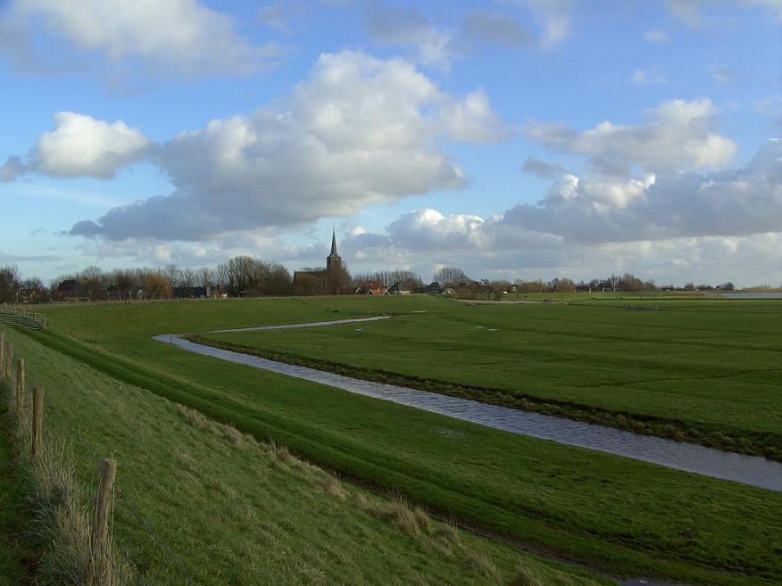
The municipality of Drechterland consists of the following cities, towns, villages and/or districts: Hem, Hoogkarspel, Oosterblokker, Oosterleek, Schellinkhout, Venhuizen, Westwoud, Wijdenes.
Local government
The municipal council of Drechterland consists of 17 seats, which are divided as follows:
References
- Statistics are taken from the SDU Staatscourant
External links
Aalsmeer · Alkmaar · Amstelveen · Amsterdam · Anna Paulowna · Beemster · Bergen · Beverwijk · Blaricum · Bloemendaal · Bussum · Castricum · Den Helder · Diemen · Drechterland · Edam-Volendam · Enkhuizen · Graft-De Rijp · Haarlem · Haarlemmerliede en Spaarnwoude · Haarlemmermeer · Harenkarspel · Heemskerk · Heemstede · Heerhugowaard · Heiloo · Hilversum · Hoorn · Huizen · Koggenland · Landsmeer · Langedijk · Laren · Medemblik · Muiden · Naarden · Niedorp · Oostzaan · Opmeer · Ouder-Amstel · Purmerend · Schagen · Schermer · Stede Broec · Texel · Uitgeest · Uithoorn · Velsen · Waterland · Weesp · Wieringen · Wieringermeer · Wijdemeren · Wormerland · Zaanstad · Zandvoort · Zeevang · Zijpe

See also: Netherlands · Provinces · Municipalities Categories:- Municipalities of North Holland
- North Holland geography stubs


Wikimedia Foundation. 2010.